Saved Loop. Looks l'm stuck in one of the training bands.

Moderator: S2k Moderators


Poonwalker wrote:Lights going in and out in Largo/Seminole. This is worse than what Ian brought this area for sure. Squally weather.
caneman wrote:Poonwalker wrote:Lights going in and out in Largo/Seminole. This is worse than what Ian brought this area for sure. Squally weather.
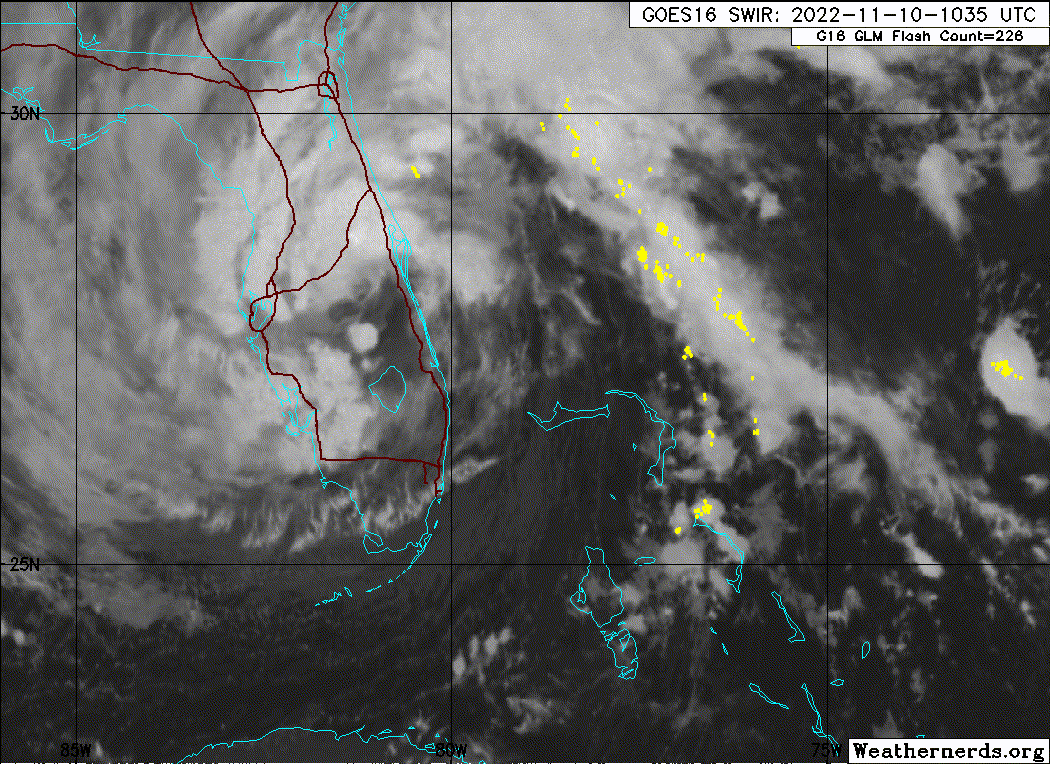
Agree worse than Ian so far. Lights flickered on and off here near Indian Rocks as well. 60 mph winds reported along the beach. Seen reports of trees and fencing down. Multiple other reports of over 50 and 60 mph. The banding has just been training and back filling over Pinellas all morning.

Nimbus wrote:caneman wrote:Poonwalker wrote:Lights going in and out in Largo/Seminole. This is worse than what Ian brought this area for sure. Squally weather.
Agree worse than Ian so far. Lights flickered on and off here near Indian Rocks as well. 60 mph winds reported along the beach. Seen reports of trees and fencing down. Multiple other reports of over 50 and 60 mph. The banding has just been training and back filling over Pinellas all morning.
Winds just shifted around to the NW off the water and the Duke power outage count went over 10K for Pinellas County. Tropical storm gusts in the squalls inland as well but hopefully not as bad as Irma.


TallyTracker wrote:That persistent onshore flow north of Cape Canaveral has to be doing a ton of damage. It’s been flowing like that for more than 48 hours now. Probably another 6-12 hours to go in some areas.
Beer Belly wrote:In Apollo Beach, Fl area. We are seeing good rain, and 40-50mph top winds from the NW. Straight from MacDill AFB towards us. There is a distinct rotten egg (sulfur) odor in the air. It is surprisingly strong, especially in such strong winds.
Edit - Odor......... It may have blew the water out of the bay and is now picking up odor from the exposes shallow flats.
Edit/Edit - Odor........ Smells in Clearwater on beach as well (talked to coworker). So it is NOT picking up smell from the bay.
The NHC IR Sat IR, shortwave, and even water vapor images are NOT matching up with the radar image. Far more rain south of Tampa than indicated by the NCH Sat images. Normally the NCH image shows more widespread rain, but not this time. It is 68°F here currently. The cooler weather must be interfering with the IR imagery & from the visible NCH image it looks like the clouds to the south are very low.
https://i.imgur.com/WCD9IWP.jpg
https://i.imgur.com/cs0jgc8.jpg

Users browsing this forum: No registered users and 40 guests