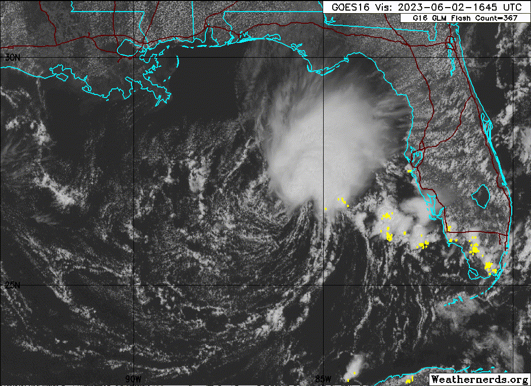
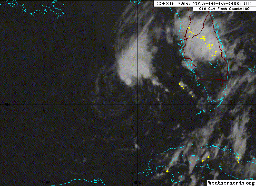
Nimbus wrote:Those storms over the western interior portion of the FL peninsula are from a dominant east coast sea breeze colliding with west coast sea breeze. Really have nothing to do with Arlene herself.
Not directly related. Seabreeze wet season influenced.
https://i.imgur.com/x6u4SuG.gif[/quote]
Area Forecast Discussion
National Weather Service Melbourne FL
932 AM EDT Fri Jun 2 2023
...New UPDATE, MARINE, AVIATION, PREV DISCUSSION...
.UPDATE...
Issued at 853 AM EDT Fri Jun 2 2023
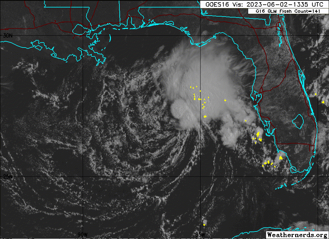
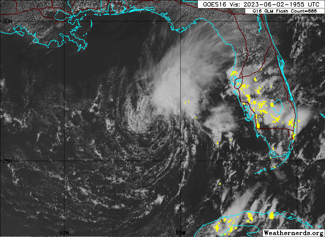
Another day with a similar weather regime in place which means much of the same can be expected as the last couple of days. Currently, KMLB radar imagery shows scattered showers and lightning storms over the western Atlantic. Analysis charts and satellite imagery show Tropical Depression Two churning over the eastern Gulf of Mexico.
Scattered to numerous showers and lighting storms are expected to develop into this afternoon as daytime heating increases. A predominate east to northeasterly flow in place will keep the greatest forcing across the western interior and especially towards the western coast of Florida as the west coast sea breeze collides pushes inland into the afternoon.