ATL: INVEST 95L - Discussion
Moderator: S2k Moderators

Re: ATL: INVEST 95L - Discussion
We're starting to get a few heavy showers and somewhat gusty winds. Nothing alarming, though.
2 likes
-
Sciencerocks
- Category 5

- Posts: 10193
- Age: 40
- Joined: Thu Jul 06, 2017 1:51 am

-
cycloneye

- Admin

- Posts: 149730
- Age: 69
- Joined: Thu Oct 10, 2002 10:54 am
- Location: San Juan, Puerto Rico
Re: ATL: INVEST 95L - Discussion
https://twitter.com/268Weather/status/1683524226072846336
@268Weather
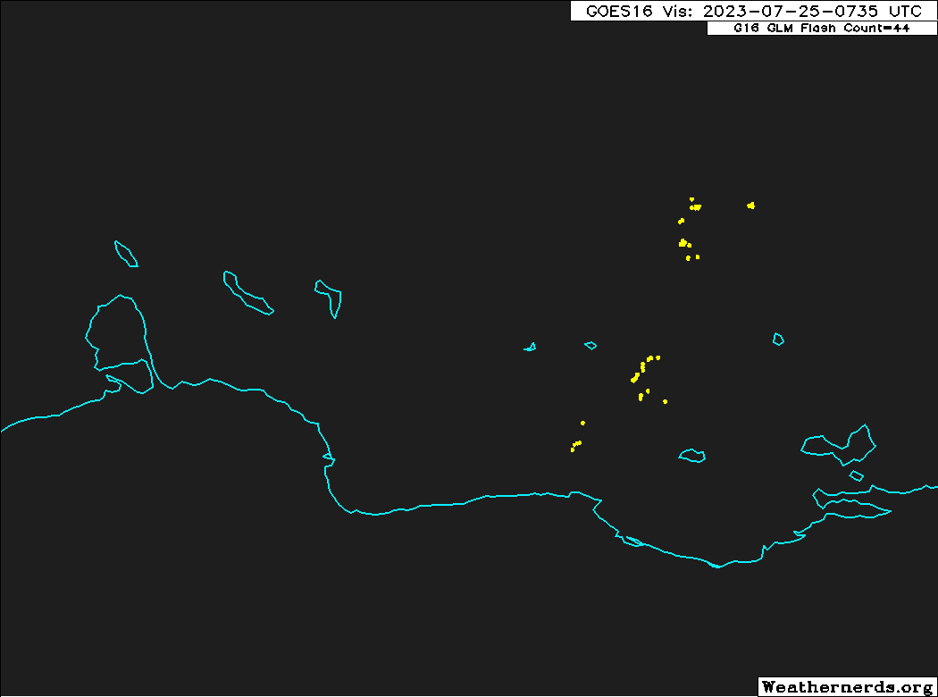
Heavy showers and strong gusty winds have started to reach the southern islands. Barbados Met Service gust reported a gust of 37 knots (43 mph, 69 km/h).
Heavy showers and strong gusty winds have started to reach the southern islands. Barbados Met Service gust reported a gust of 37 knots (43 mph, 69 km/h).
1 likes
Visit the Caribbean-Central America Weather Thread where you can find at first post web cams,radars
and observations from Caribbean basin members Click Here
and observations from Caribbean basin members Click Here
Re: ATL: INVEST 95L - Discussion
cycloneye wrote:https://twitter.com/268Weather/status/1683524226072846336@268Weather
Heavy showers and strong gusty winds have started to reach the southern islands. Barbados Met Service gust reported a gust of 37 knots (43 mph, 69 km/h).
I'm now hearing the first rumbles of distant thunder.
4 likes
-
cycloneye
- Admin
- Posts: 149730
- Age: 69
- Joined: Thu Oct 10, 2002 10:54 am
- Location: San Juan, Puerto Rico
Re: ATL: INVEST 95L - Discussion
2 PM TWO:
East of the Windward Islands (AL95):
A tropical wave is located a few hundred miles east of the Windward
Islands. Although this system has not become any better organized
since yesterday, some slow development remains possible during the
next couple of days while it moves westward near 20 mph across the
tropical Atlantic and into the eastern Caribbean Sea. Regardless of
development, locally heavy rains and strong gusty winds are possible
across portions of the Lesser Antilles during the next day or two.
Environmental conditions are expected to become unfavorable for
development of this system by the middle of the week.
* Formation chance through 48 hours...low...20 percent.
* Formation chance through 7 days...low...20 percent.
1 likes
Visit the Caribbean-Central America Weather Thread where you can find at first post web cams,radars
and observations from Caribbean basin members Click Here
and observations from Caribbean basin members Click Here
-
wxman57

- Moderator-Pro Met

- Posts: 23175
- Age: 68
- Joined: Sat Jun 21, 2003 8:06 pm
- Location: Houston, TX (southwest)
Re: ATL: INVEST 95L - Discussion
abajan wrote:cycloneye wrote:https://twitter.com/268Weather/status/1683524226072846336@268Weather
Heavy showers and strong gusty winds have started to reach the southern islands. Barbados Met Service gust reported a gust of 37 knots (43 mph, 69 km/h).
I'm now hearing the first rumbles of distant thunder.
I see that the airport is reporting ENE wind at 25 gusting 37 kts. That's to be expected with any tropical wave. Please send some rain my way. It's so dry in Houston that my Banana trees fell over from thirst.
1 likes

Re: ATL: INVEST 95L - Discussion
Looking at 95L it's looking healthy and is in a bit of a pocket with shear to the north and upper level winds are looking to be favourable.

0 likes
-
Iceresistance

- Category 5
- Posts: 9608
- Age: 22
- Joined: Sat Oct 10, 2020 9:45 am
- Location: Tecumseh, OK/Norman, OK
Re: ATL: INVEST 95L - Discussion
ChrisH-UK wrote:Looking at 95L it's looking healthy and is in a bit of a pocket with shear to the north and upper level winds are looking to be favourable.
I'm starting to think that 95L had a Center Reformation and it jumped into the convection.
Also, strong upper-level anticyclone right on top of the convection.

https://s11.gifyu.com/images/Scz9J.png
0 likes
Bill 2015 & Beta 2020
Winter 2020-2021
All observations are in Tecumseh, OK unless otherwise noted.
Winter posts are focused mainly for Oklahoma & Texas.
Take any of my forecasts with a grain of salt, refer to the NWS, SPC, and NHC for official information
Never say Never with weather! Because ANYTHING is possible!
Winter 2020-2021
All observations are in Tecumseh, OK unless otherwise noted.
Winter posts are focused mainly for Oklahoma & Texas.
Take any of my forecasts with a grain of salt, refer to the NWS, SPC, and NHC for official information
Never say Never with weather! Because ANYTHING is possible!
-
Kingarabian

- S2K Supporter

- Posts: 16379
- Joined: Sat Aug 08, 2009 3:06 am
- Location: Honolulu, Hawaii
Re: ATL: INVEST 95L - Discussion
GFS makes this a brief TS in the western Caribbean.
1 likes
RIP Kobe Bryant
-
cycloneye
- Admin
- Posts: 149730
- Age: 69
- Joined: Thu Oct 10, 2002 10:54 am
- Location: San Juan, Puerto Rico
Re: ATL: INVEST 95L - Discussion
Near the Windward Islands (AL95):
A tropical wave located just east of the Windward Islands is
producing a large area of disorganized showers and thunderstorms
while moving quickly westward. Some slow development of this system
is possible during the next day or two before it moves into a region
of unfavorable upper-level winds. Even though development is
becoming less likely, locally heavy rains and strong gusty winds are
expected across portions of the Lesser Antilles during the next day
or so.
* Formation chance through 48 hours...low...10 percent.
* Formation chance through 7 days...low...10 percent.
1 likes
Visit the Caribbean-Central America Weather Thread where you can find at first post web cams,radars
and observations from Caribbean basin members Click Here
and observations from Caribbean basin members Click Here

Re: ATL: INVEST 95L - Discussion
https://meteofrance.mq/fr/vigilance-meteo-antilles
Guadeloupe and Martinique are under yellow and orange alerts for heavy rain and wind.
Guadeloupe and Martinique are under yellow and orange alerts for heavy rain and wind.
2 likes
Too many hurricanes to remember

Re: ATL: INVEST 95L - Discussion
msbee wrote:https://meteofrance.mq/fr/vigilance-meteo-antilles
Guadeloupe and Martinique are under yellow and orange alerts for heavy rain and wind.
seeing this is giving me 2017 vibes all over again. islands stay safe man!
2 likes
-
cycloneye
- Admin
- Posts: 149730
- Age: 69
- Joined: Thu Oct 10, 2002 10:54 am
- Location: San Juan, Puerto Rico
Re: ATL: INVEST 95L - Discussion
msbee wrote:https://meteofrance.mq/fr/vigilance-meteo-antilles
Guadeloupe and Martinique are under yellow and orange alerts for heavy rain and wind.
Stay safe Barbara.
2 likes
Visit the Caribbean-Central America Weather Thread where you can find at first post web cams,radars
and observations from Caribbean basin members Click Here
and observations from Caribbean basin members Click Here
Re: ATL: INVEST 95L - Discussion
cycloneye wrote:msbee wrote:https://meteofrance.mq/fr/vigilance-meteo-antilles
Guadeloupe and Martinique are under yellow and orange alerts for heavy rain and wind.
Stay safe Barbara.
Thanks Luis. I believe it will be passing south of us.
1 likes
Too many hurricanes to remember
Re: ATL: INVEST 95L - Discussion
Tropical Weather Outlook
NWS National Hurricane Center Miami FL
200 AM EDT Tue Jul 25 2023
For the North Atlantic...Caribbean Sea and the Gulf of Mexico:
1. Near the Windward Islands (AL95):
A tropical wave located just east of the Windward Islands is
producing a large area of disorganized showers and thunderstorms
while moving quickly westward. Development, if any, of this system
should be slow to occur during the next day or two before it moves
into a region of unfavorable upper-level winds. Even though
development is unlikely, locally heavy rains and strong gusty winds
are expected across portions of the Lesser Antilles during the next
day or so.
* Formation chance through 48 hours...low...10 percent.
* Formation chance through 7 days...low...10 percent.
...
Forecaster Cangialosi
It appears heavy showers and thunderstorms are approaching the ABC islands:
Unusual.
0 likes
Re: ATL: INVEST 95L - Discussion
Tropical Weather Outlook
NWS National Hurricane Center Miami FL
800 AM EDT Tue Jul 25 2023
For the North Atlantic...Caribbean Sea and the Gulf of Mexico:
1. Near the Windward Islands (AL95):
A tropical wave located near the Windward Islands is producing a
large area of disorganized showers and thunderstorms while moving
quickly westward. Development, if any, of this system should be
slow to occur during the next day or two before it moves into a
region of unfavorable upper-level winds. Regardless of development,
locally heavy rains and strong gusty winds are expected across
portions of the Lesser Antilles during the next day or so.
* Formation chance through 48 hours...low...10 percent.
* Formation chance through 7 days...low...10 percent.
...
Forecaster Pasch
0 likes
-
Iceresistance
- Category 5
- Posts: 9608
- Age: 22
- Joined: Sat Oct 10, 2020 9:45 am
- Location: Tecumseh, OK/Norman, OK
Re: ATL: INVEST 95L - Discussion
CIMSS not longer has 95L
0 likes
Bill 2015 & Beta 2020
Winter 2020-2021
All observations are in Tecumseh, OK unless otherwise noted.
Winter posts are focused mainly for Oklahoma & Texas.
Take any of my forecasts with a grain of salt, refer to the NWS, SPC, and NHC for official information
Never say Never with weather! Because ANYTHING is possible!
Winter 2020-2021
All observations are in Tecumseh, OK unless otherwise noted.
Winter posts are focused mainly for Oklahoma & Texas.
Take any of my forecasts with a grain of salt, refer to the NWS, SPC, and NHC for official information
Never say Never with weather! Because ANYTHING is possible!
-
cycloneye
- Admin
- Posts: 149730
- Age: 69
- Joined: Thu Oct 10, 2002 10:54 am
- Location: San Juan, Puerto Rico
Re: ATL: INVEST 95L - Discussion
Iceresistance wrote:CIMSS not longer has 95L
The Best Track has not been updated since 00z so I asume,is gone.
0 likes
Visit the Caribbean-Central America Weather Thread where you can find at first post web cams,radars
and observations from Caribbean basin members Click Here
and observations from Caribbean basin members Click Here
-
cycloneye
- Admin
- Posts: 149730
- Age: 69
- Joined: Thu Oct 10, 2002 10:54 am
- Location: San Juan, Puerto Rico
Re: ATL: INVEST 95L - Discussion
Invest is still up.
AL, 95, 2023072512, , BEST, 0, 120N, 624W, 25, 1012, DB
0 likes
Visit the Caribbean-Central America Weather Thread where you can find at first post web cams,radars
and observations from Caribbean basin members Click Here
and observations from Caribbean basin members Click Here
-
Iceresistance
- Category 5
- Posts: 9608
- Age: 22
- Joined: Sat Oct 10, 2020 9:45 am
- Location: Tecumseh, OK/Norman, OK
Re: ATL: INVEST 95L - Discussion
cycloneye wrote:Invest is still up.AL, 95, 2023072512, , BEST, 0, 120N, 624W, 25, 1012, DB
It has popped back up on CIMSS, likely a relocation of the possible Invest circulation.
1 likes
Bill 2015 & Beta 2020
Winter 2020-2021
All observations are in Tecumseh, OK unless otherwise noted.
Winter posts are focused mainly for Oklahoma & Texas.
Take any of my forecasts with a grain of salt, refer to the NWS, SPC, and NHC for official information
Never say Never with weather! Because ANYTHING is possible!
Winter 2020-2021
All observations are in Tecumseh, OK unless otherwise noted.
Winter posts are focused mainly for Oklahoma & Texas.
Take any of my forecasts with a grain of salt, refer to the NWS, SPC, and NHC for official information
Never say Never with weather! Because ANYTHING is possible!
Who is online
Users browsing this forum: No registered users and 34 guests