
GFS trended stronger on the wave near 35W.
Moderator: S2k Moderators


zzzh wrote:No other models show development.


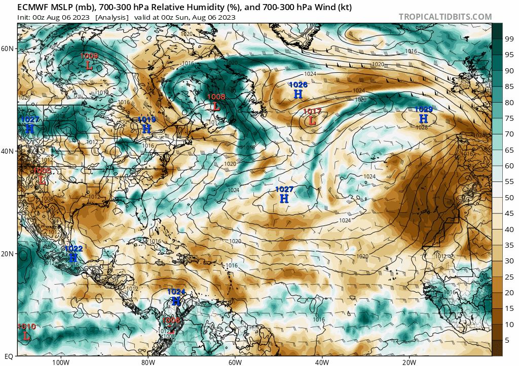

gatorcane wrote:Wind shear across the MDR doesn’t look too bad (close to normal), but the main issue at the moment appears to be the dry, stable air. Below is the 10-day ECMWF loop where we can see the abundance of dry air across the Atlantic:
https://i.postimg.cc/2ypgc1nq/ecmwf-mid-RH-atl-fh0-240.gif
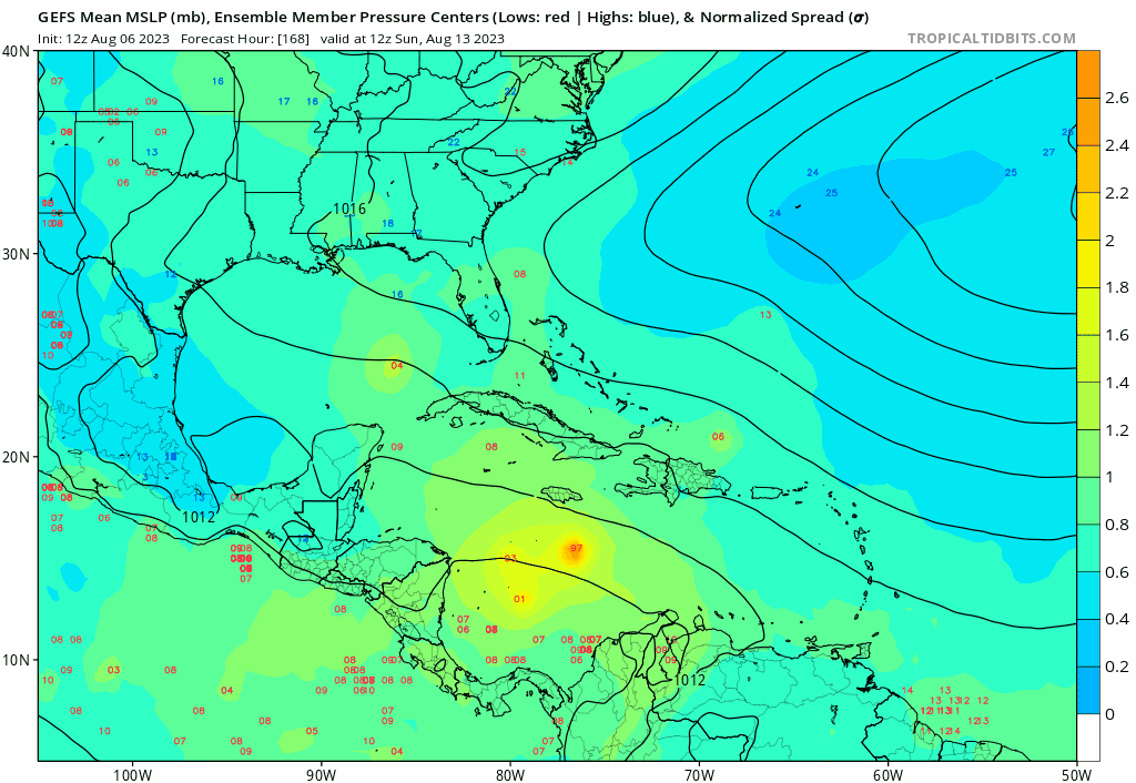
cycloneye wrote:Operational 12z GFS has backed off on the long range MDR and the wave now at 35W develops in EPAC.
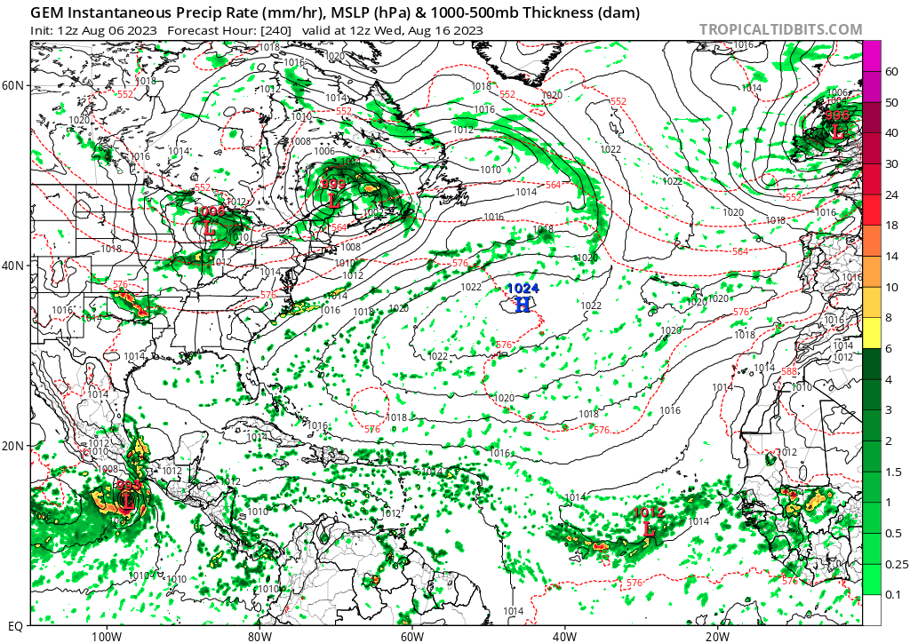
cycloneye wrote:Operational 12z GFS has backed off on the long range MDR and the wave now at 35W develops in EPAC.

What leads you to believe we get activity in 10 to 20 days?AtlanticWind wrote:We are just 10 to 20 days from Atlantic activity starting up,
The models should start reflecting this pretty soon I expect.
jlauderdal wrote:What leads you to believe we get activity in 10 to 20 days?AtlanticWind wrote:We are just 10 to 20 days from Atlantic activity starting up,
The models should start reflecting this pretty soon I expect.
Users browsing this forum: Google [Bot] and 120 guests
