Blown Away wrote:
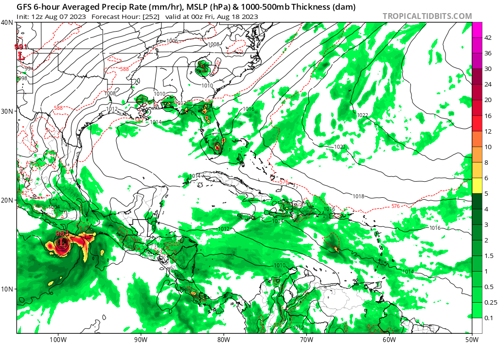
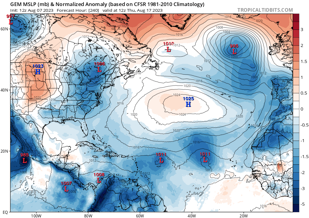
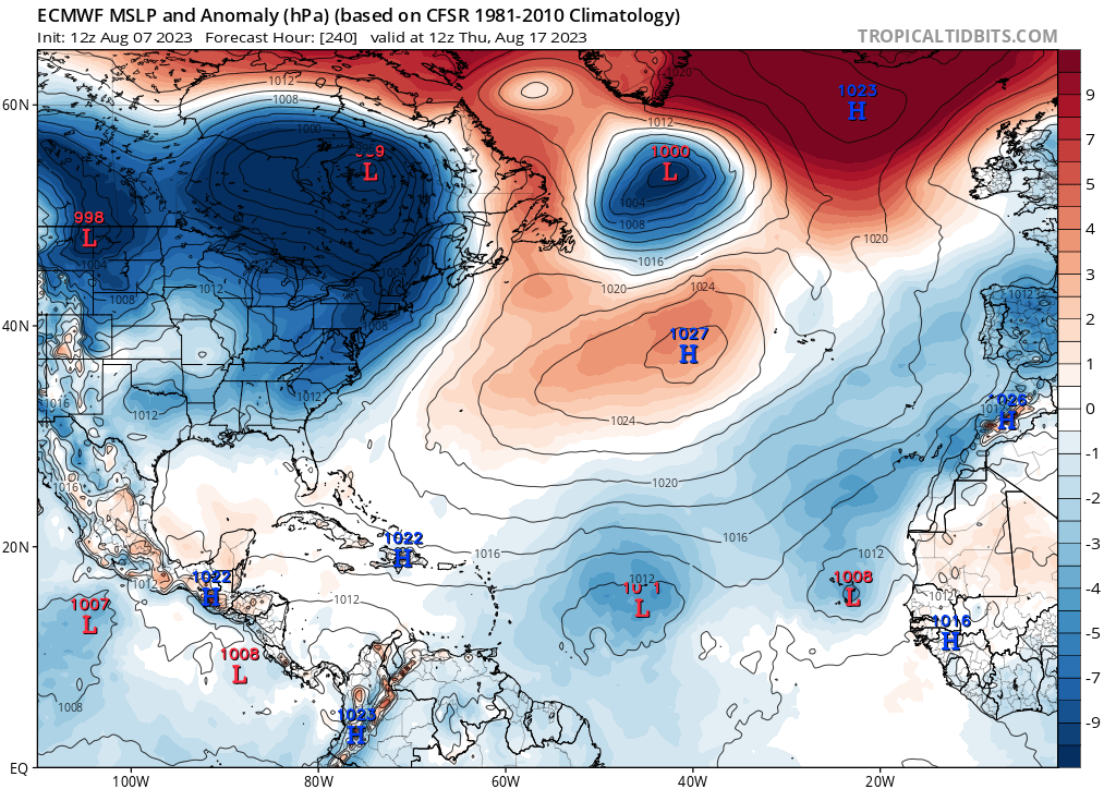
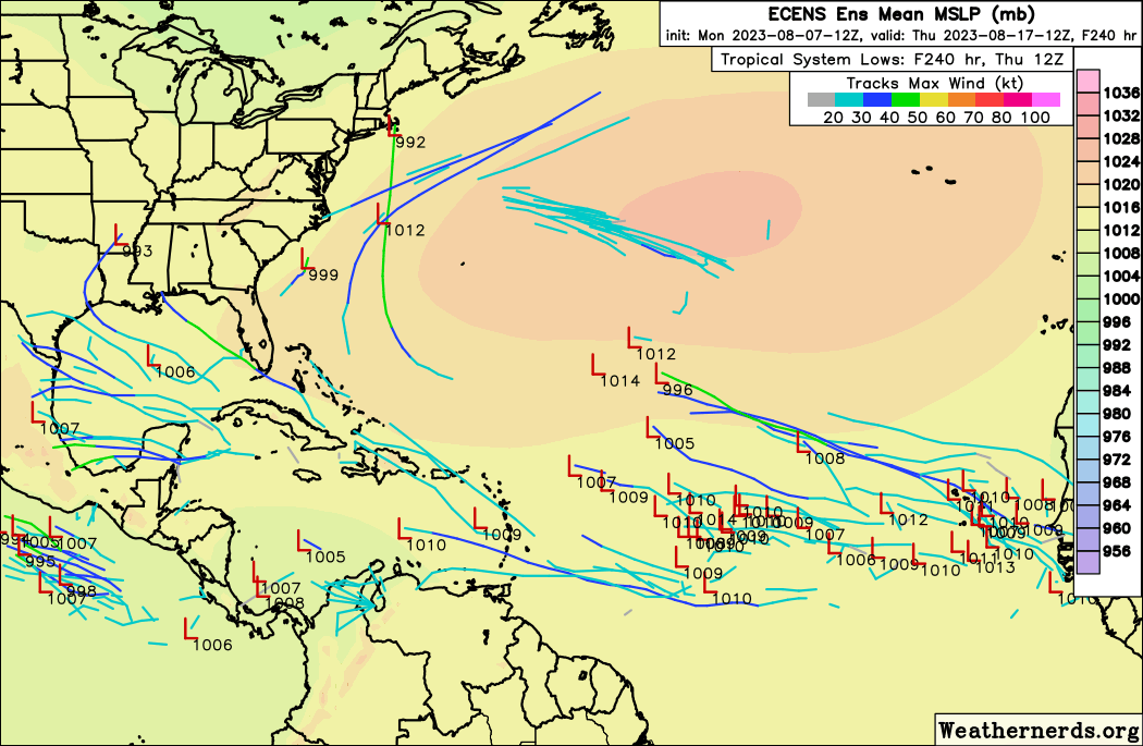
GFS, ECMWF, CMC, GEFS, ECENS pretty quiet through mid August. Still showing a few lows in the Central Atlantic and drying out as they move west. GFS hinting at a weak TS just before CA, but likely an EPAC storm.
Although none of the models are forecasting any specific TCs through the next two weeks, the signals for favorability do already seem to be in place beginning in about a week:
EPS giving 50-60% chance of MDR TC formation from August 14-21 CFS showing an impulse in/near the MDR from August 13-21
 Both EPS and GEFS signaling more abundant moisture throughout the tropical Atlantic from August 13-22
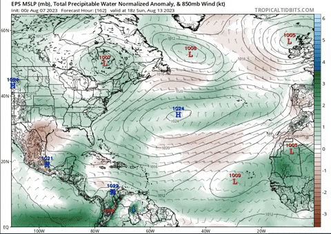
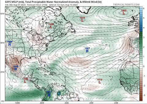
And -- I also posted this in the extended forecast thread -- but the CFS Weekly, as well as EPS/GEFS, are all predicting an anomalously strong Bermuda-Azores high from August 13-20:

Very interesting. I could be wrong here, but it looks like there's probably going to be at least
something trying to spin up in the MDR from August 13-21, and anything that does form should likely get pushed west into the Caribbean/Gulf/CONUS due to the strong subtropical ridge. Hopefully we won't see anything stronger than a TD or weak TS of course, but if I lived anywhere near the typical hurricane threat zones right now, I know I would at least start preparing the basic necessities just in case we see any surprises.


