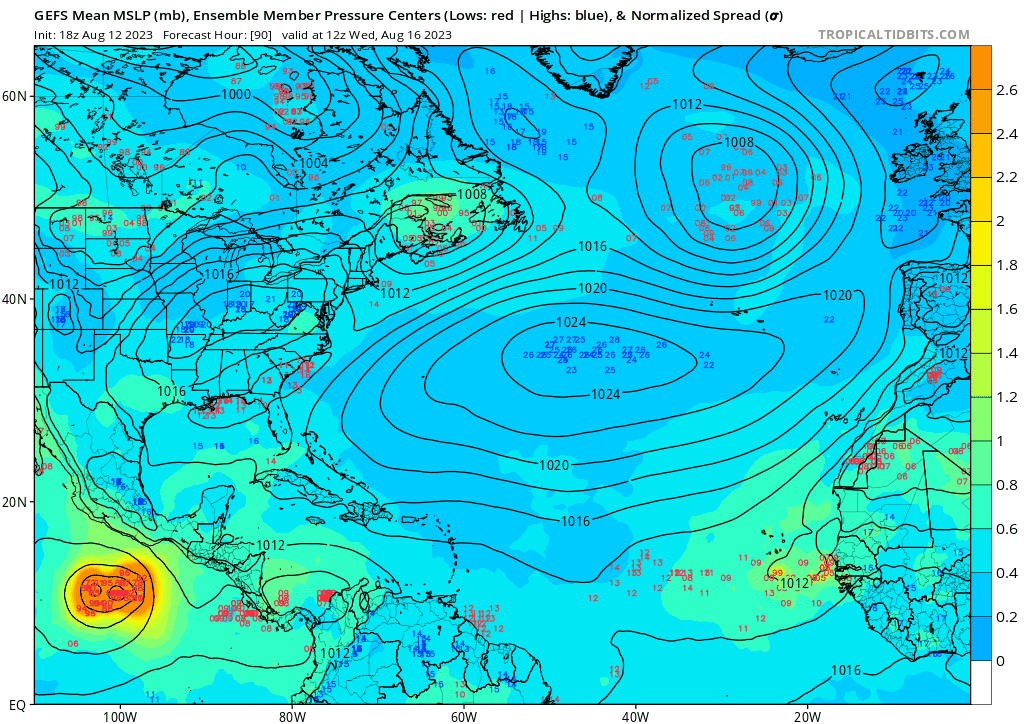
Ianswfl wrote:hurricane2025 wrote:Gfs pattern is October and November pattern really troughy don’t by that one bit
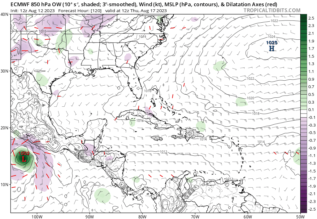
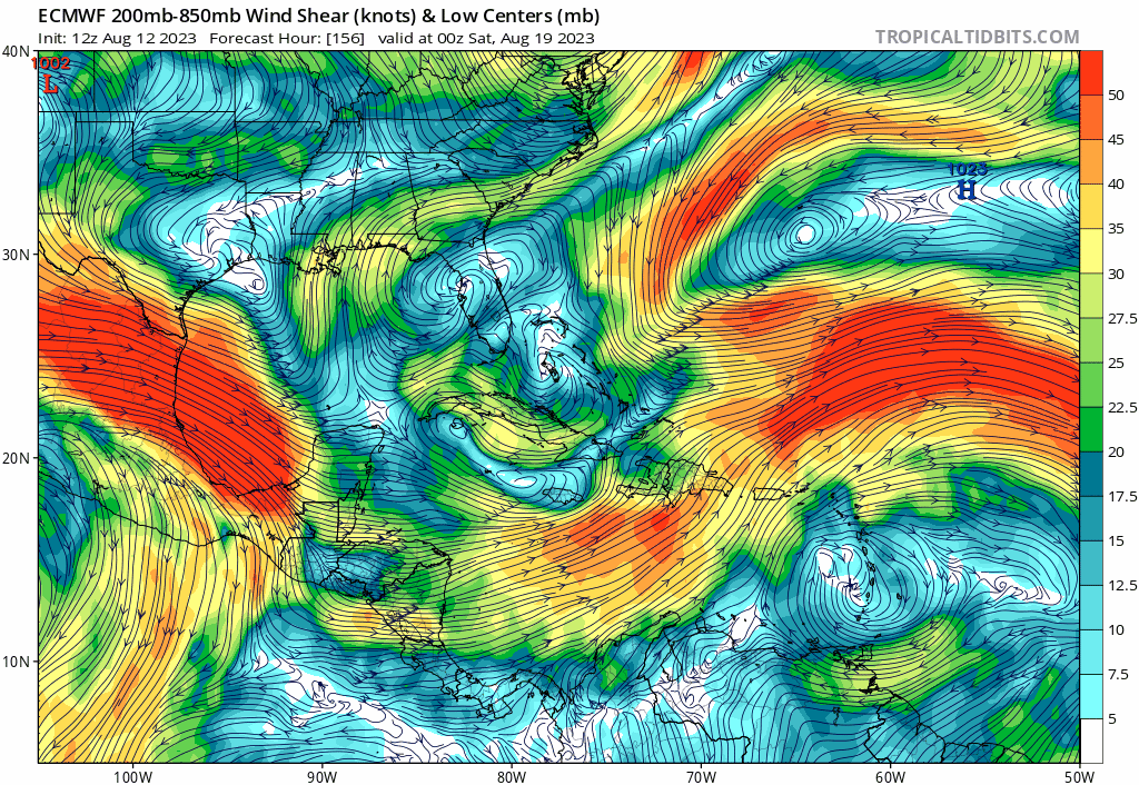
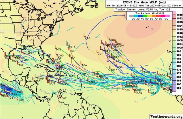
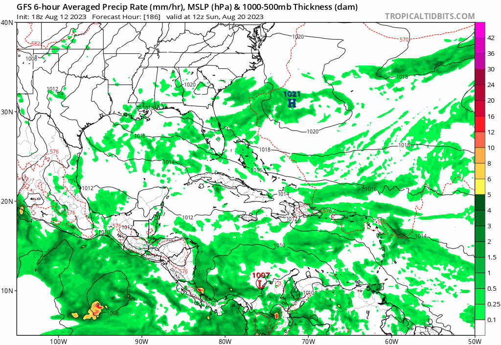
But allows for a lot of close in development. Wave stays weak then explodes in the bahamas or Gulf on the ensembles over the hot waters.
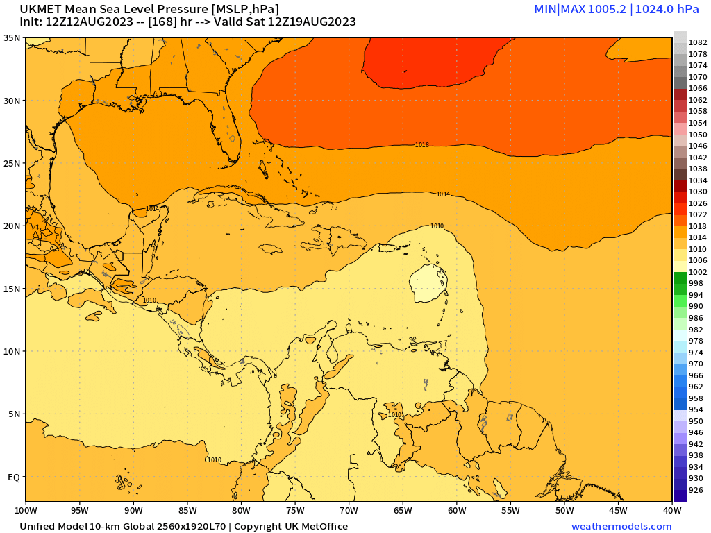
Not a good scenario. If this were to happen, hopefully there is enough model support when it a depression for the Emergency planners in the Keys to take appropriate measures. With the water being so hot a storm could possibly go from depression to major in as little as 48 hours,not enough time to evacuate the Keys
Hopefully we will not have a worst case scenario, a rapidly strengthening major hurricane that was under forecast, resulting in no time for an effective evacuation order.
How bad would being in bumper to bumper traffic stuck on the 7 mile bridge with deteriorating storm conditions?


