
ATL: IDALIA - Post-Tropical - Discussion
Moderator: S2k Moderators
-
Sciencerocks
- Category 5

- Posts: 10193
- Age: 40
- Joined: Thu Jul 06, 2017 1:51 am
Re: ATL: IDALIA - Post-Tropical - Discussion
One theory as to Idalia’s weakening is shape of coastline of Apalachee Bay causing prolific entrainment of land air well before landfall. Dry air entrainment at that location may be function of specific geography (convex Apalachee Bay surrounded by land on 3 sides incl. Apalachicola Peninsula) allowing for more land-sourced air being ingested in final hours. Unique detrimental geography compared to rest of coast. Draw a line from Apalachicola to Cedar Key and anything north of it is proverbially “inland” as continental air becomes ingested from land surrounding storm by > 180 degrees despite center still being over water.
It may not be a coincidence that the min 940mb pressure was recorded just before Idalia crossed abeam of that line.

It may not be a coincidence that the min 940mb pressure was recorded just before Idalia crossed abeam of that line.
7 likes

Re: ATL: IDALIA - Post-Tropical - Discussion
Preliminary estimates of Idalia's damage as reported by the Guardian:
If true, this is above the damage of Sally ($7.3 billion), the costliest Atlantic storm to not have its name retired.
Initial estimates at the cost of the damage varied from $9bn to about $20bn
If true, this is above the damage of Sally ($7.3 billion), the costliest Atlantic storm to not have its name retired.
1 likes
TC naming lists: retirements and intensity
Most aggressive Advisory #1's in North Atlantic (cr. kevin for starting the list)
Most aggressive Advisory #1's in North Atlantic (cr. kevin for starting the list)
Re: ATL: IDALIA - Post-Tropical - Discussion
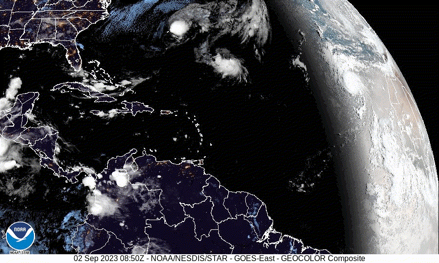
Firing off pretty good right now
2 likes
Personal Forecast Disclaimer:
The posts in this forum are NOT official forecast and should not be used as such. They are just the opinion of the poster and may or may not be backed by sound meteorological data. They are NOT endorsed by any professional institution or storm2k.org. For official information, please refer to the NHC and NWS products.
The posts in this forum are NOT official forecast and should not be used as such. They are just the opinion of the poster and may or may not be backed by sound meteorological data. They are NOT endorsed by any professional institution or storm2k.org. For official information, please refer to the NHC and NWS products.
-
cycloneye

- Admin

- Posts: 149698
- Age: 69
- Joined: Thu Oct 10, 2002 10:54 am
- Location: San Juan, Puerto Rico
Re: ATL: IDALIA - Post-Tropical - Discussion

0 likes
Visit the Caribbean-Central America Weather Thread where you can find at first post web cams,radars
and observations from Caribbean basin members Click Here
and observations from Caribbean basin members Click Here
-
Sciencerocks
- Category 5
- Posts: 10193
- Age: 40
- Joined: Thu Jul 06, 2017 1:51 am

-
cycloneye
- Admin
- Posts: 149698
- Age: 69
- Joined: Thu Oct 10, 2002 10:54 am
- Location: San Juan, Puerto Rico
Re: ATL: IDALIA - Post-Tropical - Discussion
1 likes
Visit the Caribbean-Central America Weather Thread where you can find at first post web cams,radars
and observations from Caribbean basin members Click Here
and observations from Caribbean basin members Click Here
-
Sciencerocks
- Category 5
- Posts: 10193
- Age: 40
- Joined: Thu Jul 06, 2017 1:51 am
-
WalterWhite

- Category 1

- Posts: 342
- Joined: Fri Mar 17, 2023 5:53 pm
Re: ATL: IDALIA - Post-Tropical - Discussion
This is basically it for Idalia. The NHC will no longer be issuing advisories for Idalia. The only real question at this point is whether or not Idalia was 115 kt or 110 kt at its peak.
0 likes
-
johngaltfla

- Category 5
- Posts: 2073
- Joined: Sun Jul 10, 2005 9:17 pm
- Location: Sarasota County, FL
- Contact:
-
tolakram
- Admin
- Posts: 20186
- Age: 62
- Joined: Sun Aug 27, 2006 8:23 pm
- Location: Florence, KY (name is Mark)
Re: ATL: IDALIA - Post-Tropical - Discussion
Still spinning

1 likes
M a r k
- - - - -
Join us in chat: Storm2K Chatroom Invite. Android and IOS apps also available.
The posts in this forum are NOT official forecasts and should not be used as such. Posts are NOT endorsed by any professional institution or STORM2K.org. For official information and forecasts, please refer to NHC and NWS products.
-
cycloneye
- Admin
- Posts: 149698
- Age: 69
- Joined: Thu Oct 10, 2002 10:54 am
- Location: San Juan, Puerto Rico
Re: ATL: IDALIA - Post-Tropical - Discussion
Preliminary storm surge report for Florida. The Idalia TCR will have the final data.
https://twitter.com/NHC_Surge/status/1703812776433508852
https://twitter.com/NHC_Surge/status/1703812777834361006
https://twitter.com/NHC_Surge/status/1703812776433508852
https://twitter.com/NHC_Surge/status/1703812777834361006
0 likes
Visit the Caribbean-Central America Weather Thread where you can find at first post web cams,radars
and observations from Caribbean basin members Click Here
and observations from Caribbean basin members Click Here
-
TallyTracker
- Category 2

- Posts: 787
- Joined: Thu Oct 11, 2018 2:46 pm
Re: ATL: IDALIA - Post-Tropical - Discussion
I drove through the Idalia damage area along I-10 for the first time this past weekend. The tree damage peaked at about 50% down west of Exit 258 near Madison, FL. Based on the damage I saw post-Michael (Cat 3 as it crossed I-10), I would say sustained winds in that area were likely 90-100 mph with higher gusts as the eye passed. I have not yet been to the Perry or Keaton Beach areas, but based on the distance from the coast I would say a landfall intensity of ~120 mph makes sense. I do think Idalia peaked at 130 mph briefly before weakening into the coast as the EWRC took effect.
0 likes
Fran '96, Georges '98, Gordon '00, Gabrielle '01, Charley '04, Frances '04, Jeanne '04, Barry '07, Fay '08, Debby '12, Matthew '16, Emily '17, Irma '17, Michael ‘18, Elsa ‘21, Fred ‘21, Mindy ‘21, Nicole ‘22, Idalia ‘23, Debby ‘24, Helene ‘24
Who is online
Users browsing this forum: No registered users and 80 guests