
https://s11.gifyu.com/images/SgytU.png
Moderator: S2k Moderators


capepoint wrote:Always heard that very strong hurricanes can create their own environment. Knowing how stronger storms want to go poleward, I would think that a very strong Lee might could push further north through a little weakness that a weaker storm could not. Do models take that type situation into account?


LarryWx wrote:Meteorcane wrote:mantis83 wrote:a safe recurve is looking more and more likely as we get closer in time.....
Still too much uncertainty in the long term to feel too safe about Bermuda, Atlantic Canada, and the NE US. I still wouldn't necessarily say there is no threat for the Turks and Caicos and eastern Bahamas either... only takes a somewhat stronger ridge.
If anything, the risk to Bermuda is increasing. But the risk to the NE US, after a bit of a concern largely based on the far left UKMET, has dropped somewhat from how it looked earlier. Hopefully future UKMETs will not go back as far left as they were. However, I'm still maintaining a small risk of landfall to the NE US because we're still 9 or so days out...too long to give an all clear.
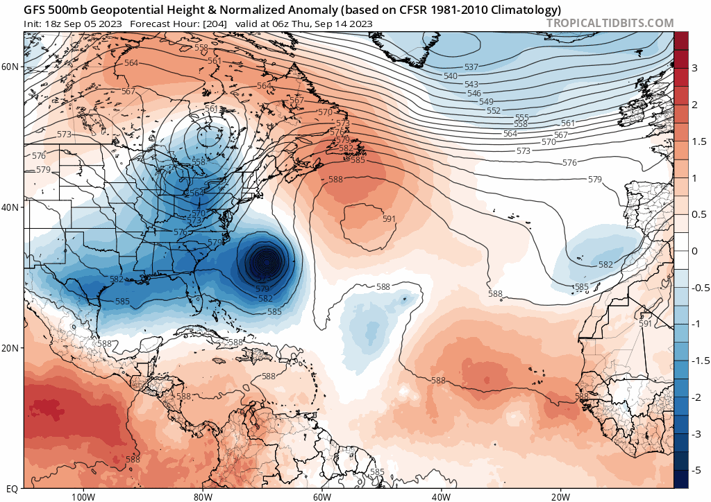
Iceresistance wrote:Found a Sub-900 member on the 0z Euro-Ensembles
https://s11.gifyu.com/images/SgytU.png
https://s11.gifyu.com/images/SgytU.png


chris_fit wrote:GFS Trend.
What's with that ridge popping up to the W of it? Florida/Bahamas Deflector Shield?
https://i.imgur.com/ADXzgIF.gif
Meteorcane wrote:Interesting looking at the day 8 ensemble clusters (https://origin.wpc.ncep.noaa.gov/wpc_ensemble_clusters/day_8_10/view.php) the GEFS/GEPS members are highly favoring a more progressive trough, less amplified eastern Canadian/NW Atlantic ridge pattern (clusters 1 and 2) while the EPS favors a less progressive trough and more amplified downstream ridge (clusters 3 and 4). The GEPS/GEFS consensus would favor more rapid northward movement, and potentially a quicker recurve (more of a Bermuda/Newfoundland, eastern Nova Scotia threat), while the EPS consensus favors a greater risk to western Atlantic Canada and the NE CONUS. The interesting thing is just about 36 hours ago it was the GEFS camp that favored the solution the EPS currently supports.
https://i.imgur.com/yLeAaqU.png


PavelGaborik10 wrote:We may be tracking Lee into October if the models continue the trend of being slower with him.
It feels like he's been 10-11 days out from potential impacts for days now and now the GFS is coming in even slower lol
Blown Away wrote:PavelGaborik10 wrote:We may be tracking Lee into October if the models continue the trend of being slower with him.
It feels like he's been 10-11 days out from potential impacts for days now and now the GFS is coming in even slower lol
[url]https://i.postimg.cc/5NZd2TFF/434dca21-063c-4d28-a7f2-d9462929e751.gif [/url]
Trending slower...


MEANINGLESS_NUMBERS wrote:Iceresistance wrote:Found a Sub-900 member on the 0z Euro-Ensembles
https://s11.gifyu.com/images/SgytU.png
https://s11.gifyu.com/images/SgytU.png
That is bumping up against the limit of what is possible in the open Atlantic.
Iceresistance wrote:Blown Away wrote:PavelGaborik10 wrote:We may be tracking Lee into October if the models continue the trend of being slower with him.
It feels like he's been 10-11 days out from potential impacts for days now and now the GFS is coming in even slower lol
[url]https://i.postimg.cc/5NZd2TFF/434dca21-063c-4d28-a7f2-d9462929e751.gif [/url]
Trending slower...
I really don't like that, it could go from an East Coast Threat to a Southeastern Threat if these trends continue.
Ianswfl wrote:Iceresistance wrote:Blown Away wrote:
[url]https://i.postimg.cc/5NZd2TFF/434dca21-063c-4d28-a7f2-d9462929e751.gif [/url]
Trending slower...
I really don't like that, it could go from an East Coast Threat to a Southeastern Threat if these trends continue.
Why do you say a southeast threat?
Iceresistance wrote:Ianswfl wrote:Iceresistance wrote:I really don't like that, it could go from an East Coast Threat to a Southeastern Threat if these trends continue.
Why do you say a southeast threat?
I think I meant to say "Southeast area of the east coast"
Users browsing this forum: Google Adsense [Bot] and 9 guests


