
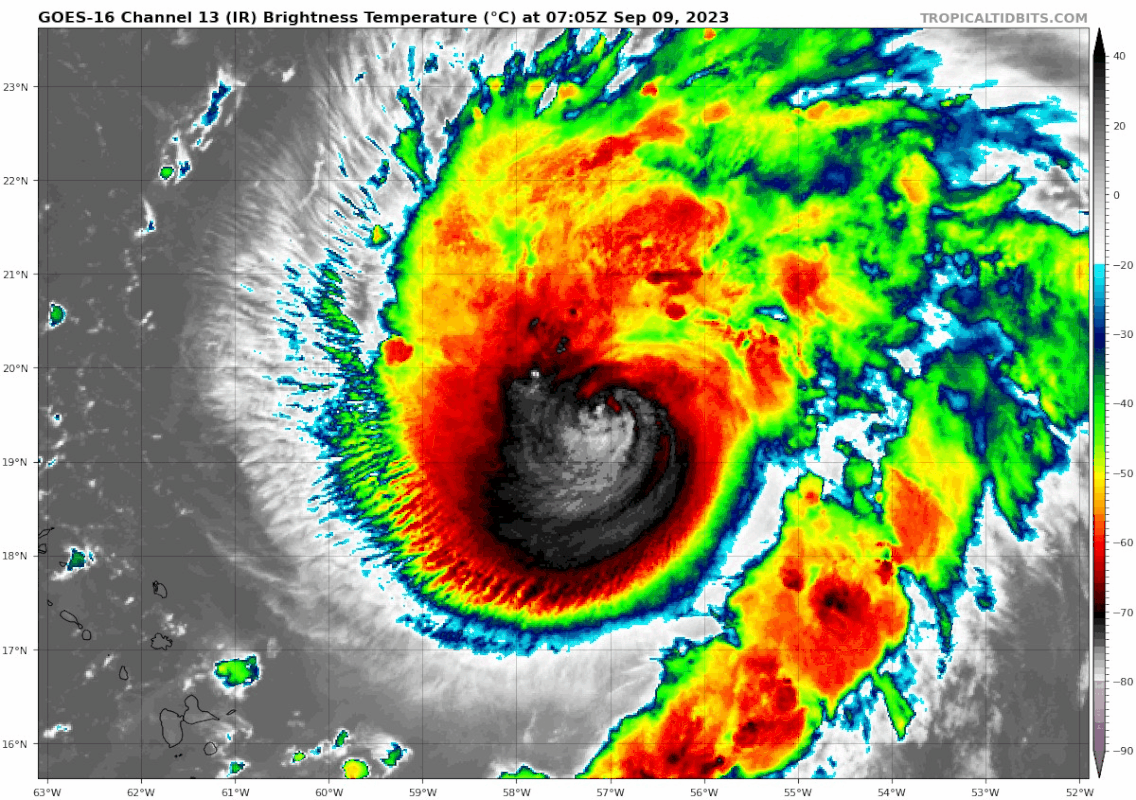
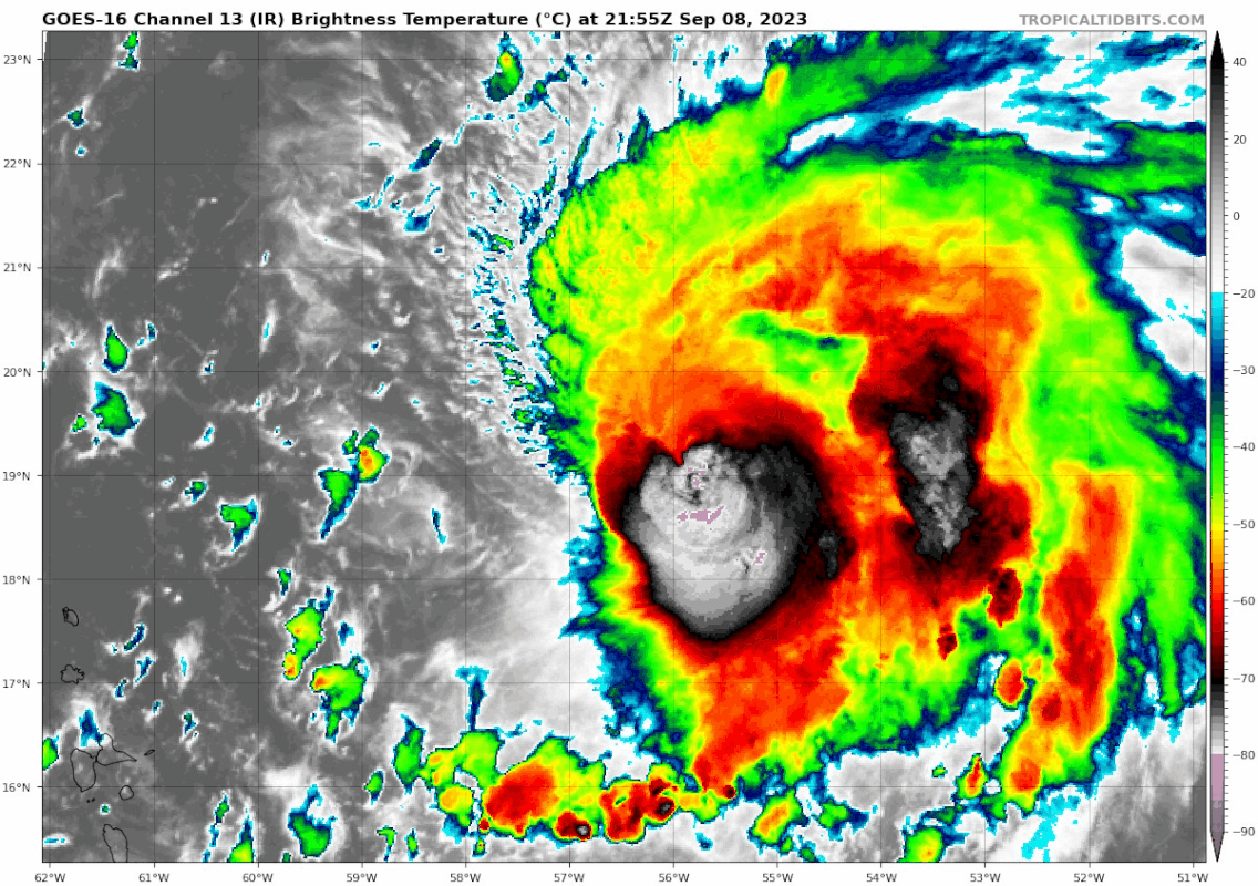
Teban54 wrote:Over the course of this IR loop, you can see the CDO becoming more symmetrical and expanding to the SW, where it had been restricted since the shear hit Lee yesterday. Not sure if it's shear letting up or simply changing direction, but either way, I won't be surprised if it drops sooner than NHC noted in the advisory (24 hours).
https://i.postimg.cc/PqXhhF7Q/goes16-ir-13-L-202309082155.gif
Last frame looked like an eye trying to pop out.


