By "weak, short-lived storms", I mean any storm with a peak intensity under 50 knots that lasted for less than 48 hours.
In 2019, there were 5 of these storms: Andrea, Fernand, Imelda, Olga, and Rebekah.
In 2020, there were 4 of these storms: Bertha, Dolly, Kyle, and Alpha.
In 2021, there were 4 of these storms: Ana, Danny, Odette, and Teresa.
In 2022, there were 2 of these storms: Colin and Hermine.
In 2023, there has only been 1 of these storms: Emily.
There seems to have been a drop in the number of weak, short-lived storms from 2019-21 to now. Surely, storm detection has not become worse during that time period, and finding weak, short-lived storms is correlated with better storm detection. What gives?
What happened to those weak, short-lived storms?
Moderator: S2k Moderators
Forum rules

The posts in this forum are NOT official forecasts and should not be used as such. They are just the opinion of the poster and may or may not be backed by sound meteorological data. They are NOT endorsed by any professional institution or STORM2K. For official information, please refer to products from the National Hurricane Center and National Weather Service.
-
WalterWhite

- Category 1

- Posts: 342
- Joined: Fri Mar 17, 2023 5:53 pm
-
Iceresistance

- Category 5

- Posts: 9605
- Age: 22
- Joined: Sat Oct 10, 2020 9:45 am
- Location: Tecumseh, OK/Norman, OK
Re: What happened to those weak, short-lived storms?
WalterWhite wrote:By "weak, short-lived storms", I mean any storm with a peak intensity under 50 knots that lasted for less than 48 hours.
In 2019, there were 5 of these storms: Andrea, Fernand, Imelda, Olga, and Rebekah.
In 2020, there were 4 of these storms: Bertha, Dolly, Kyle, and Alpha.
In 2021, there were 4 of these storms: Ana, Danny, Odette, and Teresa.
In 2022, there were 2 of these storms: Colin and Hermine.
In 2023, there has only been 1 of these storms: Emily.
There seems to have been a drop in the number of weak, short-lived storms from 2019-21 to now. Surely, storm detection has not become worse during that time period, and finding weak, short-lived storms is correlated with better storm detection. What gives?
Maybe the number of those kinds of storms has gone down because the number of storms that do form now have a higher frequency of developing into a stronger, more recognizable storm?
0 likes
Bill 2015 & Beta 2020
Winter 2020-2021
All observations are in Tecumseh, OK unless otherwise noted.
Winter posts are focused mainly for Oklahoma & Texas.
Take any of my forecasts with a grain of salt, refer to the NWS, SPC, and NHC for official information
Never say Never with weather! Because ANYTHING is possible!
Winter 2020-2021
All observations are in Tecumseh, OK unless otherwise noted.
Winter posts are focused mainly for Oklahoma & Texas.
Take any of my forecasts with a grain of salt, refer to the NWS, SPC, and NHC for official information
Never say Never with weather! Because ANYTHING is possible!

Re: What happened to those weak, short-lived storms?
Possibly controversial opinion: I think the NHC has become a lot more conservative at TD and TS upgrades in 2022 and 2023. Several systems in these two years looked like TDs or TSes, yet they either weren't upgraded, or were only upgraded very late when there was so much convincing evidence that it was hard to argue otherwise.
6 likes
TC naming lists: retirements and intensity
Most aggressive Advisory #1's in North Atlantic (cr. kevin for starting the list)
Most aggressive Advisory #1's in North Atlantic (cr. kevin for starting the list)
-
Yellow Evan

- Professional-Met

- Posts: 16257
- Age: 27
- Joined: Fri Jul 15, 2011 12:48 pm
- Location: Henderson, Nevada/Honolulu, HI
- Contact:
Re: What happened to those weak, short-lived storms?
We had a lot of these this year - they just happened to reach 50-55 knots instead.
1 likes

Re: What happened to those weak, short-lived storms?
Teban54 wrote:Possibly controversial opinion: I think the NHC has become a lot more conservative at TD and TS upgrades in 2022 and 2023. Several systems in these two years looked like TDs or TSes, yet they either weren't upgraded, or were only upgraded very late when there was so much convincing evidence that it was hard to argue otherwise.
I agree. Just look at STS-1, a borderline hurricane that wasn’t upgraded and was given a 20/20 chance of development at the most. There were like 3-4 systems last year that weren’t upgraded, but STS-1 was the most egregious case because it was a strong system heading towards land.
2 likes
Irene '11 Sandy '12 Hermine '16 5/15/2018 Derecho Fay '20 Isaias '20 Elsa '21 Henri '21 Ida '21
I am only a meteorology enthusiast who knows a decent amount about tropical cyclones. Look to the professional mets, the NHC, or your local weather office for the best information.
I am only a meteorology enthusiast who knows a decent amount about tropical cyclones. Look to the professional mets, the NHC, or your local weather office for the best information.
-
Sciencerocks
- Category 5
- Posts: 10189
- Age: 40
- Joined: Thu Jul 06, 2017 1:51 am
Re: What happened to those weak, short-lived storms?
This year has seen a few of these but they weren't upgraded!
95L: 20-24th of July-would later become Dora in the eastern Pacific. I would have upgraded it to a depression or low end tropical storm. If I had a gun to my head I'd go 30 knts but some people could argue that it looked better then Arlene.

A few days later 96L formed and become pretty convincing as a tropical cyclone! 29th of July to around the 2nd of August. I'd estimate peak intensity was 40 knots.
Of course there's january's hurricane. I say hurricane because I am serious.
I'd say this is probably below avg as last year easily had twice if not more times this number of systems not being upgraded.
95L: 20-24th of July-would later become Dora in the eastern Pacific. I would have upgraded it to a depression or low end tropical storm. If I had a gun to my head I'd go 30 knts but some people could argue that it looked better then Arlene.
A few days later 96L formed and become pretty convincing as a tropical cyclone! 29th of July to around the 2nd of August. I'd estimate peak intensity was 40 knots.
Of course there's january's hurricane. I say hurricane because I am serious.
I'd say this is probably below avg as last year easily had twice if not more times this number of systems not being upgraded.
1 likes
-
Sciencerocks
- Category 5
- Posts: 10189
- Age: 40
- Joined: Thu Jul 06, 2017 1:51 am
Re: What happened to those weak, short-lived storms?
90L that formed in May of 2022 was arguably a tropical storm at landfall in the gulf. I'd say it was a tropical storm.
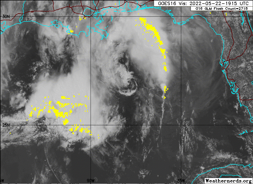
SHIP
Location: 29.4N 87.5W
05/22/2022 2200 UTC
Winds: E (80°) at 45.1 kts
Atmospheric Pressure: 30.00 in
Air Temperature: 76.1 °F
Dew Point: 70.2 °F

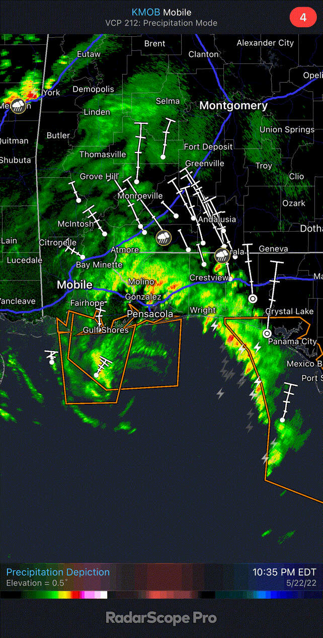
https://twitter.com/webberweather/status/1528577647986499584
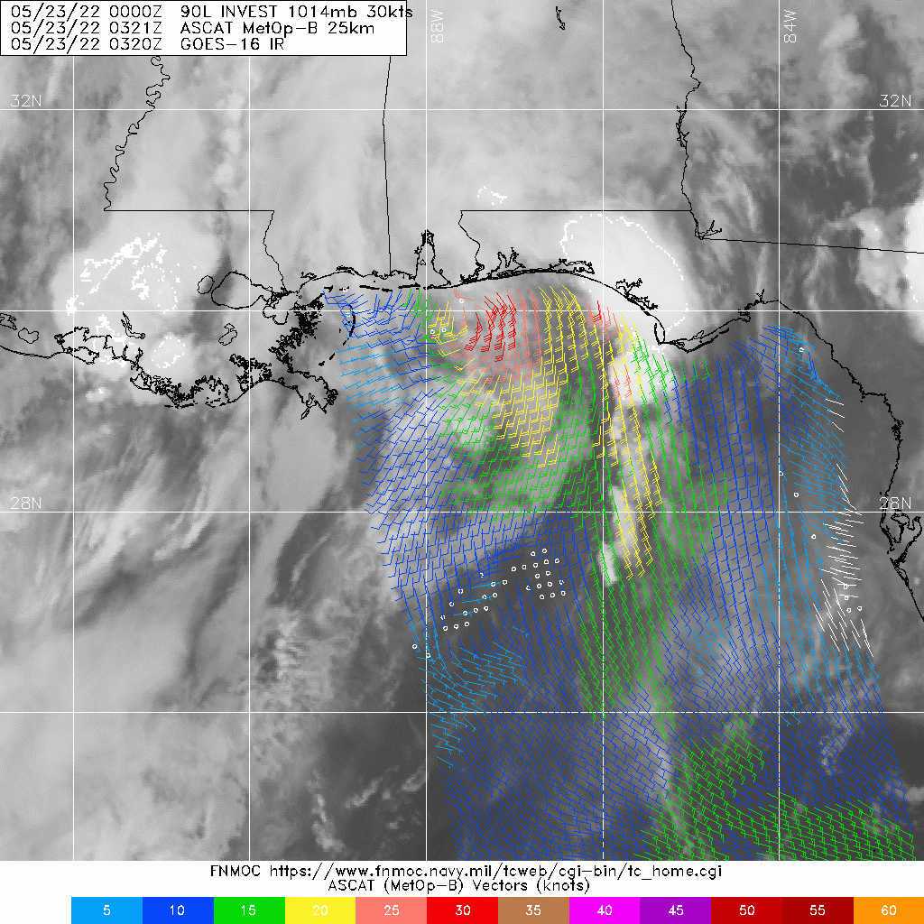
https://twitter.com/MichaelSpag/status/1528756815466487808
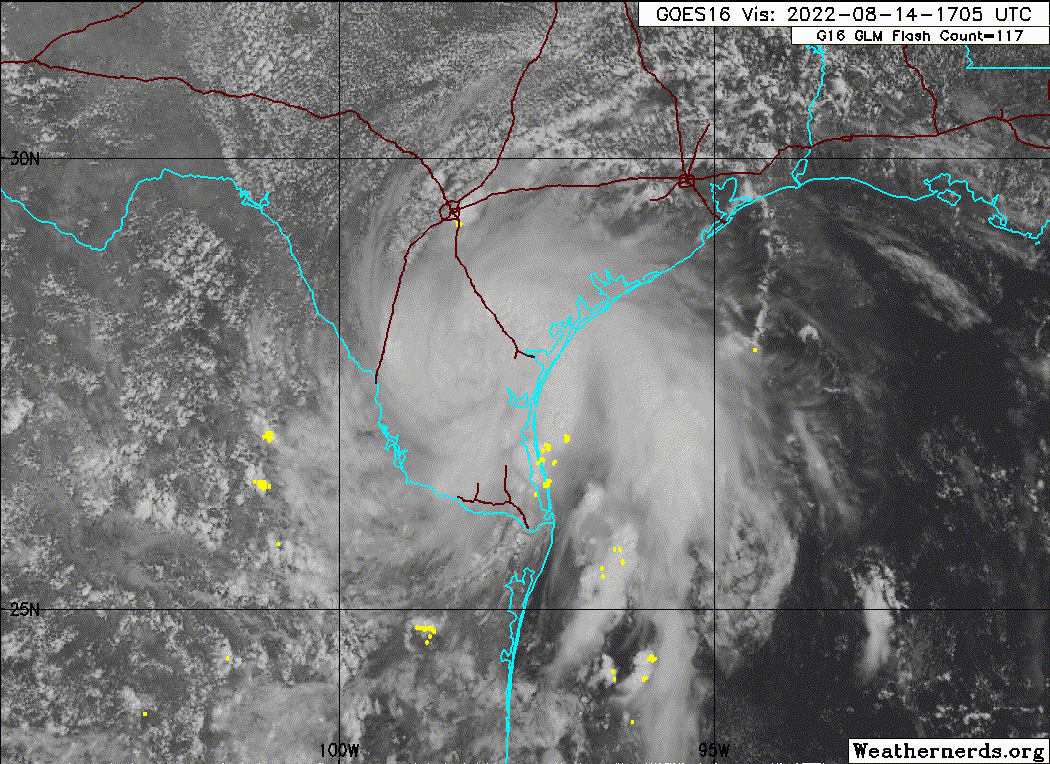
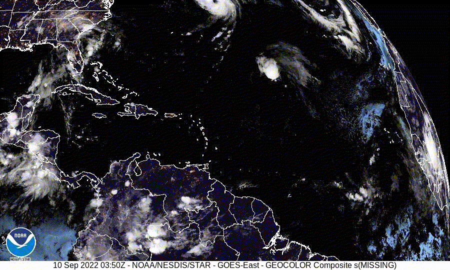
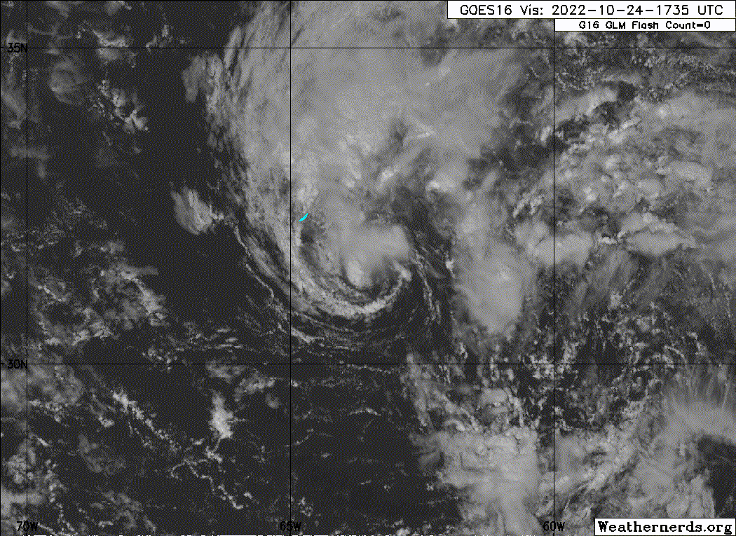
Our next system is 98L that formed in the middle of August 2022 and made landfall in Texas...Probably peaked around tropical storm strength as it was making landfall.
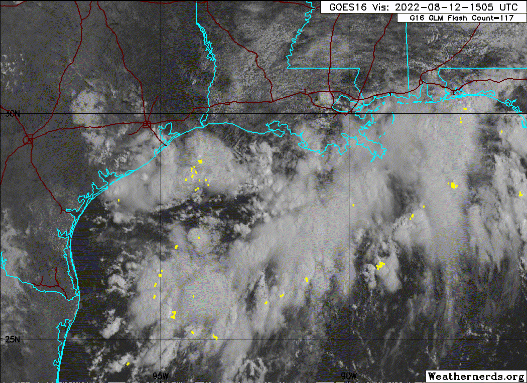

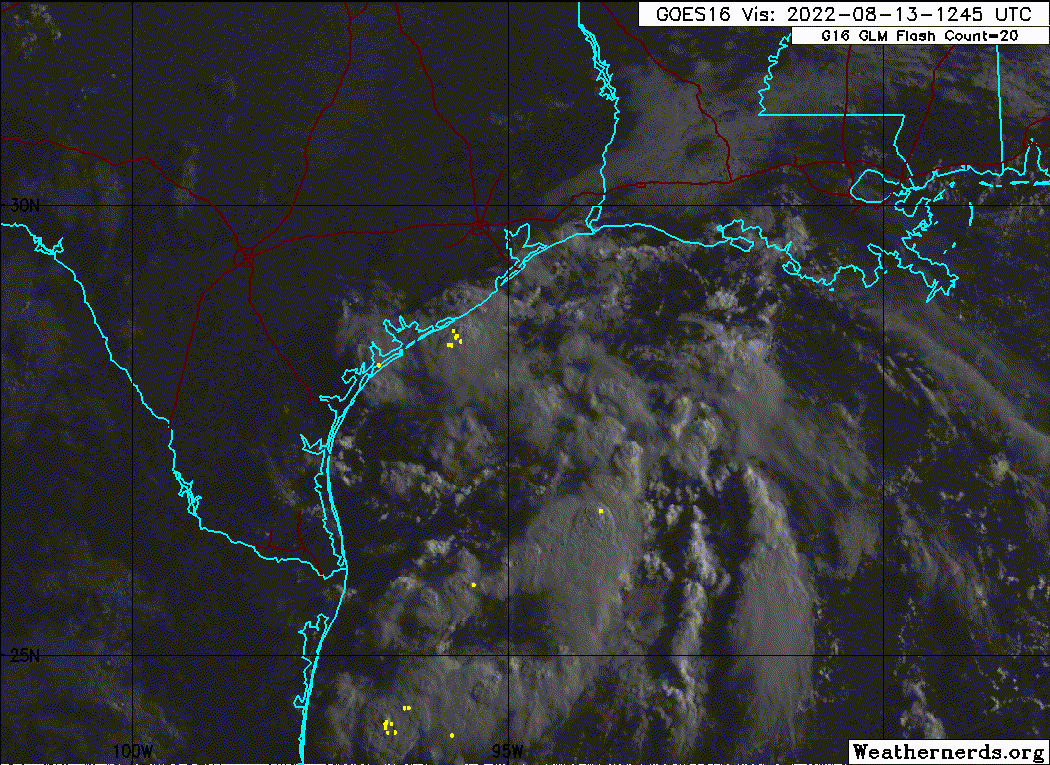
https://imgur.com/CSZmXXc
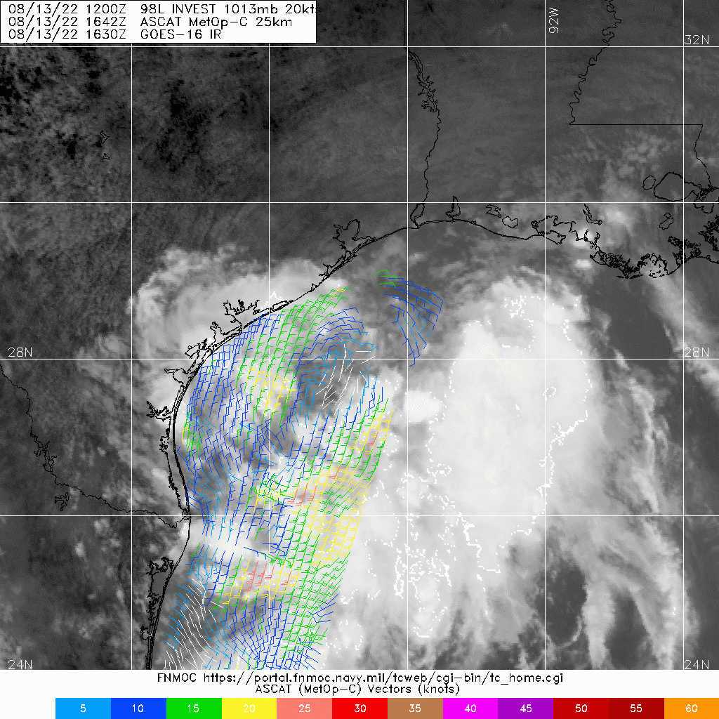
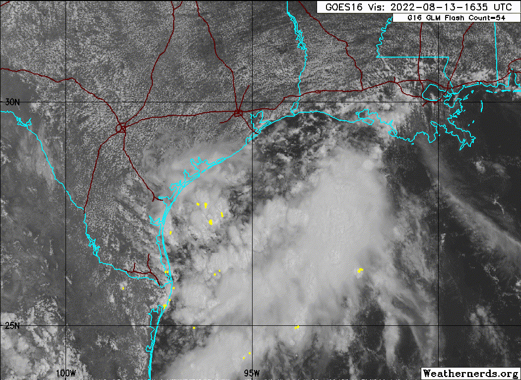
https://imgur.com/5tl7g0g
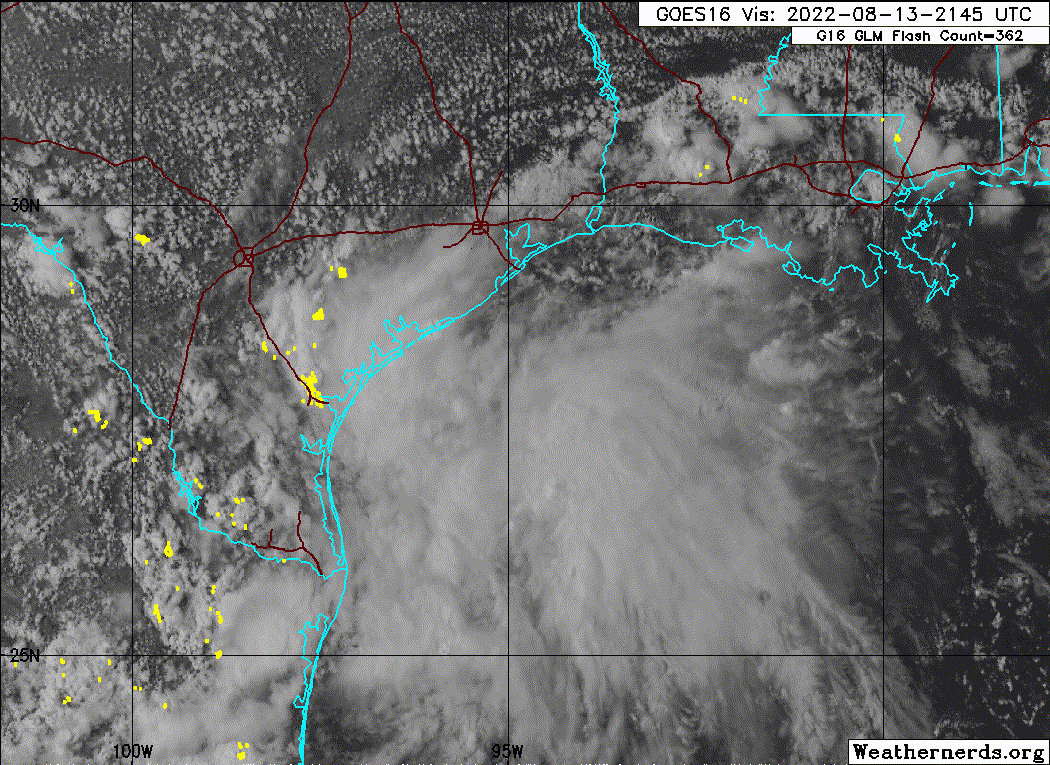
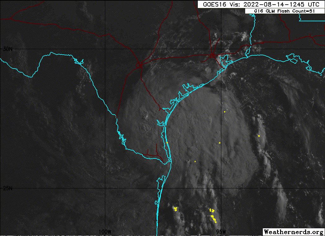

https://twitter.com/BigJoeBastardi/status/1558843250332512257
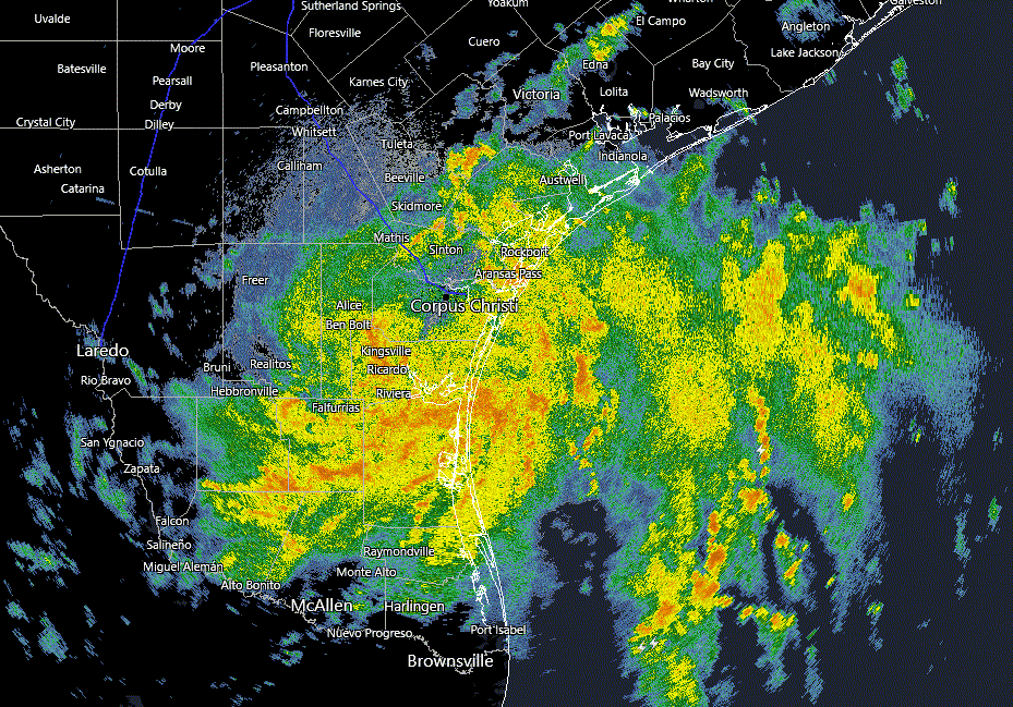
92l -30 knots
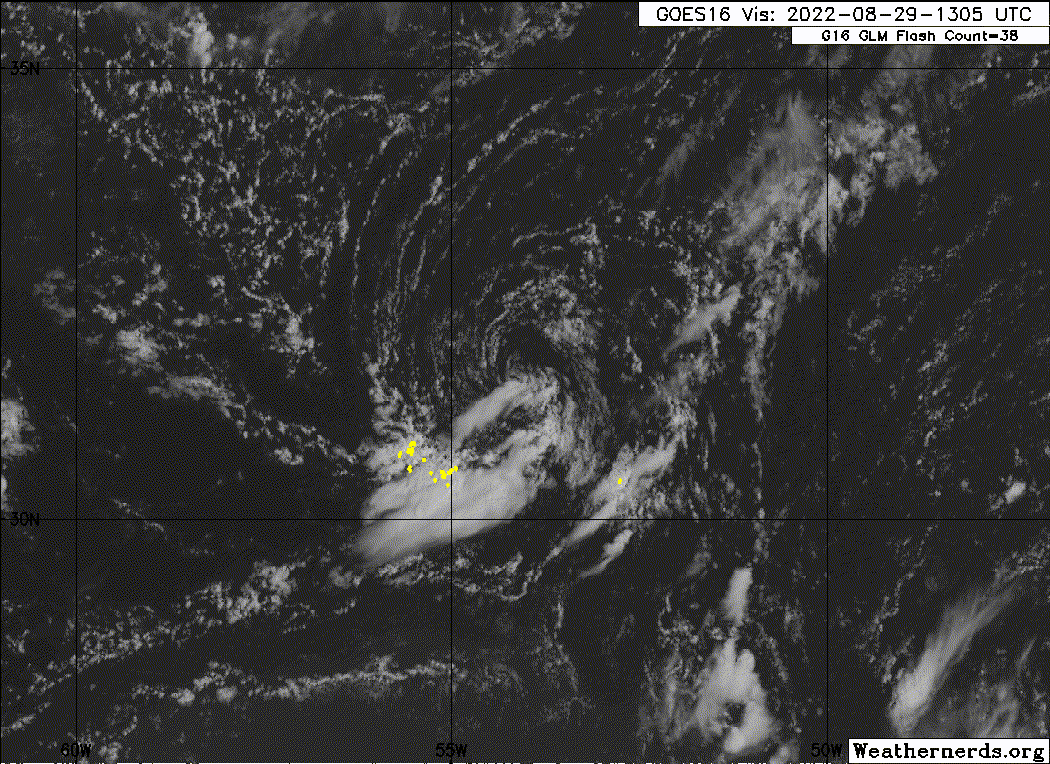
95L-Early Sept-40 knots.
https://imgur.com/LKy12wZ
Central Tropical Atlantic:
Satellite imagery indicates that the area of low pressure located
about a thousand miles west-northwest of the Cabo Verde Islands has
a well-defined center, and earlier satellite wind data indicated
that the system is producing maximum sustained winds up to
40-45 mph to its north
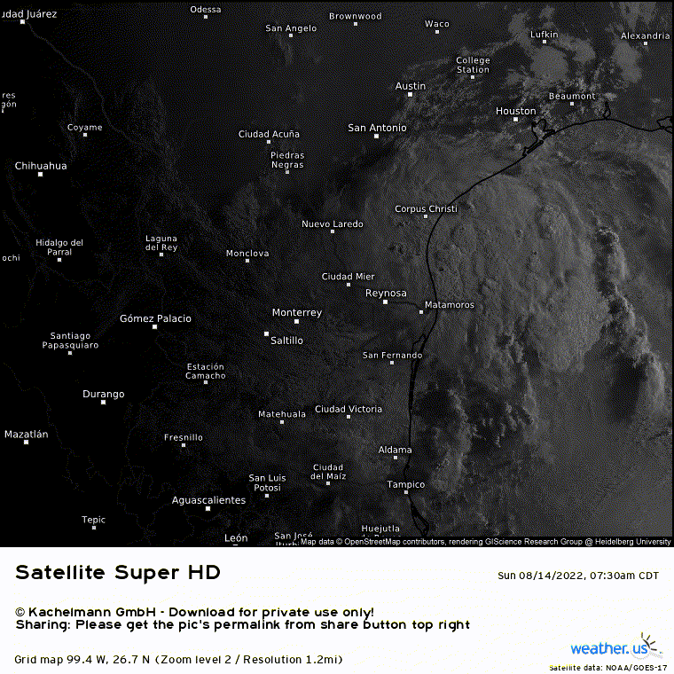
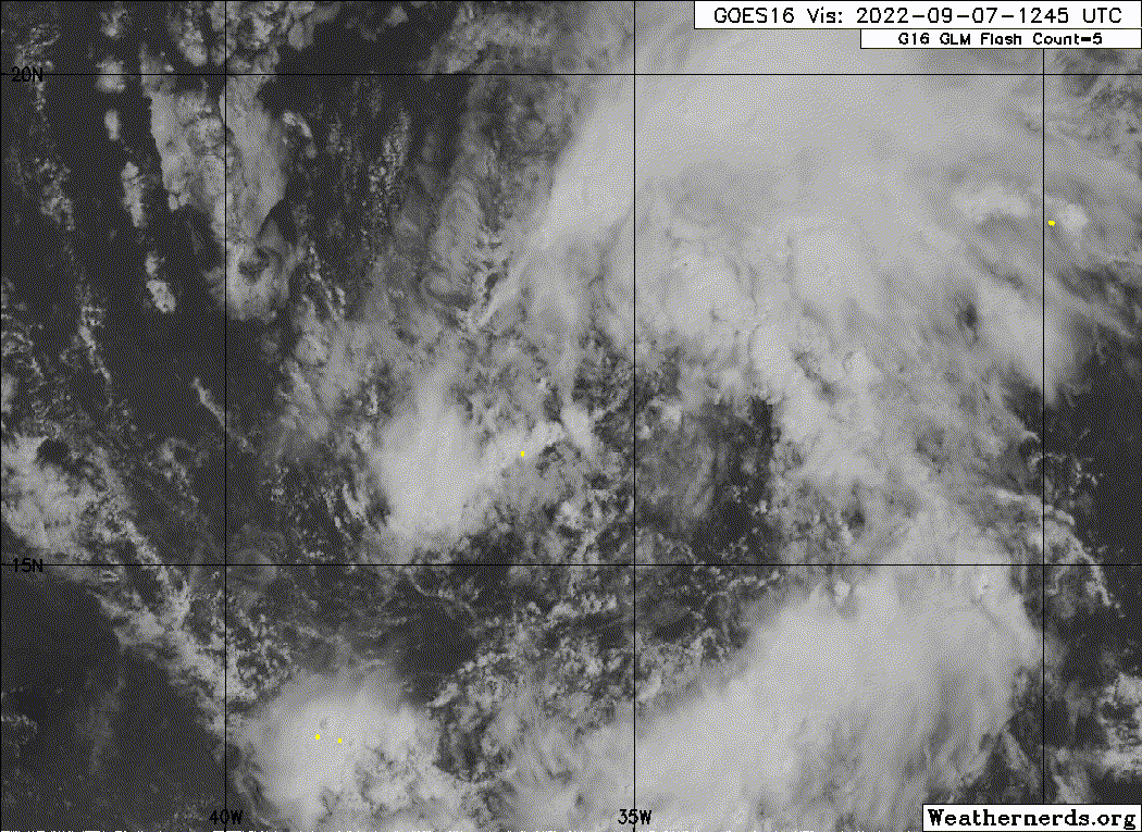
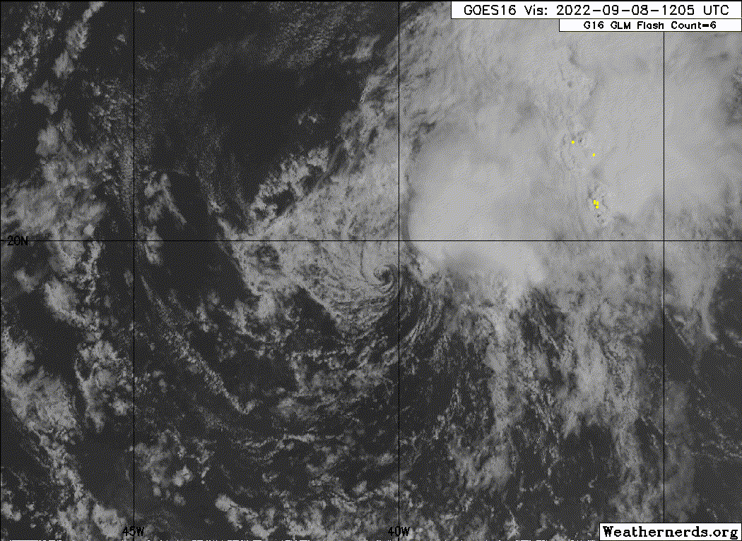
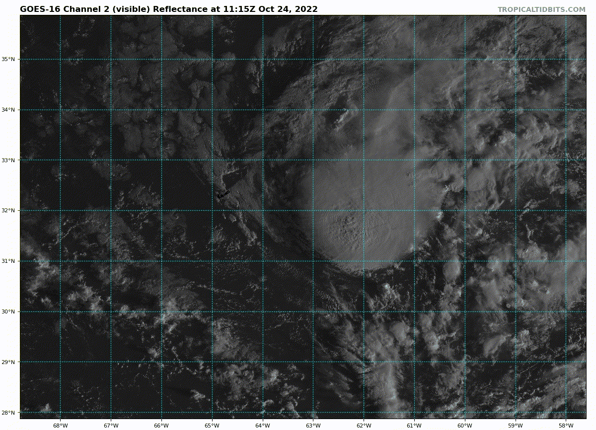
94L: Mid Oct. Probably peaked around 45 knots.
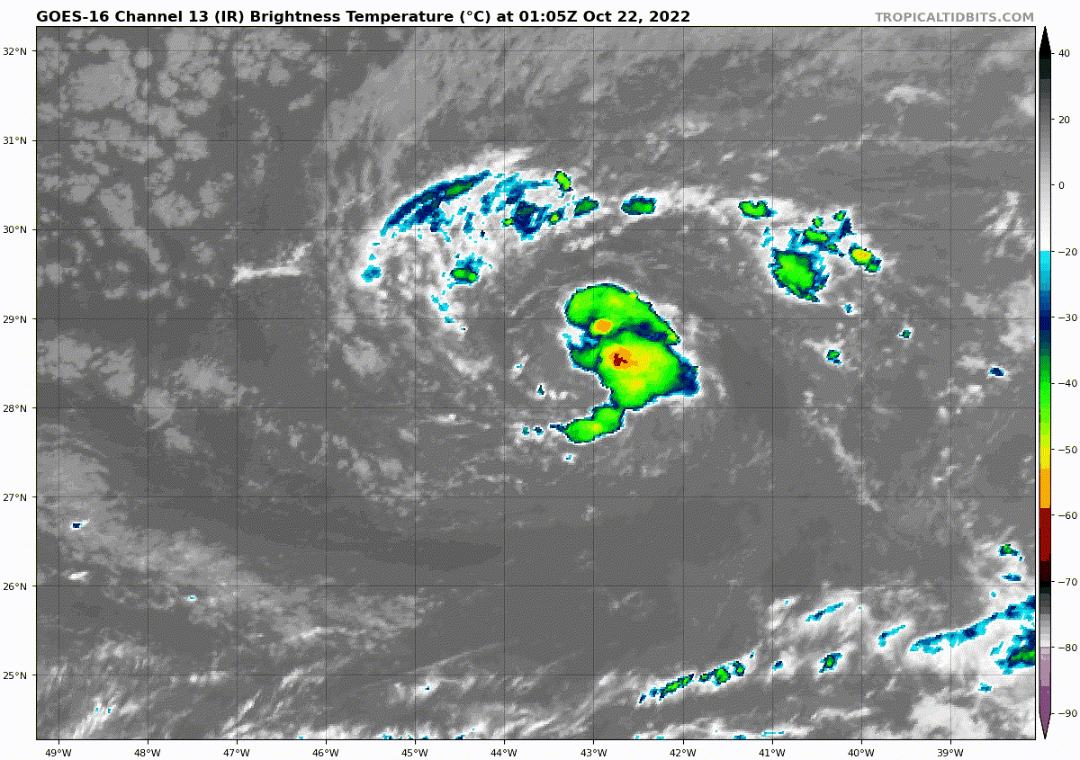
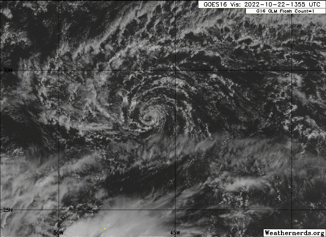
https://twitter.com/WxTca/status/1584605145517592576
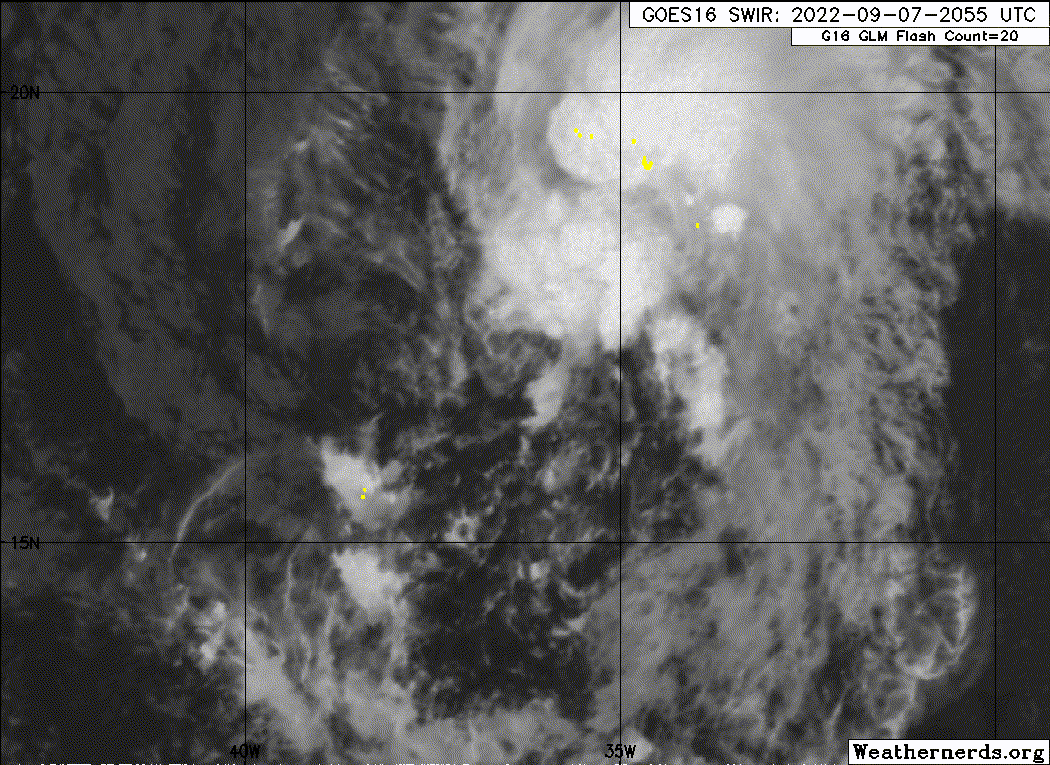
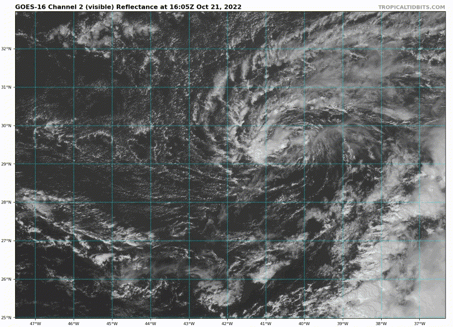
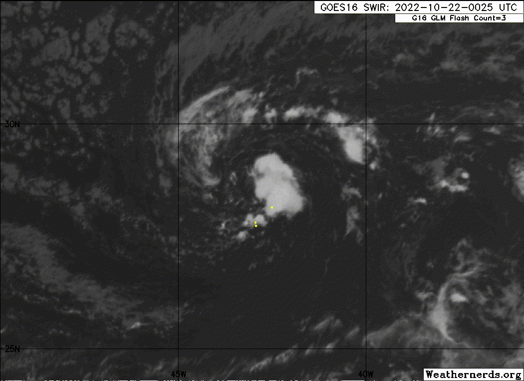
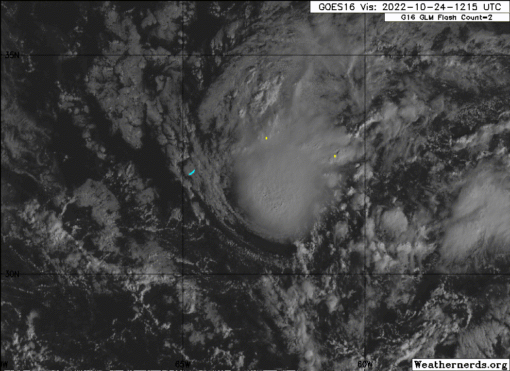
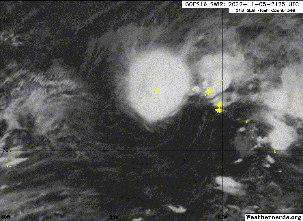
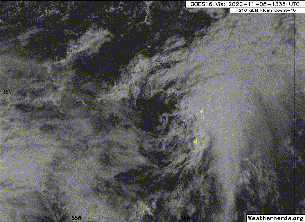
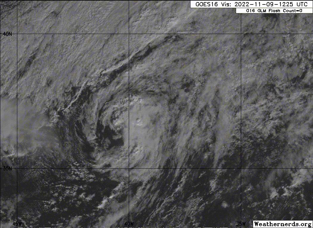
97L-Early Nov: Peak near 50 knots.
https://imgur.com/tRGY6Qy
SHIP
Location: 29.4N 87.5W
05/22/2022 2200 UTC
Winds: E (80°) at 45.1 kts
Atmospheric Pressure: 30.00 in
Air Temperature: 76.1 °F
Dew Point: 70.2 °F
https://twitter.com/webberweather/status/1528577647986499584
https://twitter.com/MichaelSpag/status/1528756815466487808
Our next system is 98L that formed in the middle of August 2022 and made landfall in Texas...Probably peaked around tropical storm strength as it was making landfall.
https://imgur.com/CSZmXXc
https://imgur.com/5tl7g0g
https://twitter.com/BigJoeBastardi/status/1558843250332512257
92l -30 knots
95L-Early Sept-40 knots.
https://imgur.com/LKy12wZ
Central Tropical Atlantic:
Satellite imagery indicates that the area of low pressure located
about a thousand miles west-northwest of the Cabo Verde Islands has
a well-defined center, and earlier satellite wind data indicated
that the system is producing maximum sustained winds up to
40-45 mph to its north
94L: Mid Oct. Probably peaked around 45 knots.
https://twitter.com/WxTca/status/1584605145517592576
97L-Early Nov: Peak near 50 knots.
https://imgur.com/tRGY6Qy
6 likes
Who is online
Users browsing this forum: No registered users and 204 guests