
Otherwise, the three main ensemble models generally show the east MDR storm and the BoC storm. GEPS (CMC ensembles) is still showing some more Caribbean action in the fantasy range.
Moderator: S2k Moderators


USTropics wrote:
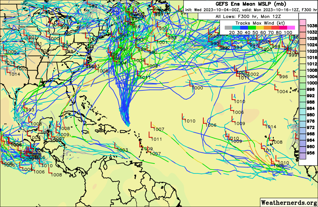
I mentioned there is only marginal ensemble support for development at this time (less than 50%) for good reasons. Before we get to a potential GOM track, we need to see if an actual cross over even occurs. There is some very high terrain a potential system has to cross over, and an equal chance that whatever does try to cross over gets buried in Mexico and dissipates before it can reach the GOM. A blend of the NCEP model ensembles has a 30-40% chance of development for this region.
https://i.imgur.com/hmd1nph.png


REDHurricane wrote:USTropics wrote:
I mentioned there is only marginal ensemble support for development at this time (less than 50%) for good reasons. Before we get to a potential GOM track, we need to see if an actual cross over even occurs. There is some very high terrain a potential system has to cross over, and an equal chance that whatever does try to cross over gets buried in Mexico and dissipates before it can reach the GOM. A blend of the NCEP model ensembles has a 30-40% chance of development for this region.
https://i.imgur.com/hmd1nph.png
What is that big orange 50-60% area located off the coast of Venezuela/Colombia -- some kind of glitch or misclassification I'm guessing? Because I don't see anything resembling tropical development there in any of the models


USTropics wrote:REDHurricane wrote:USTropics wrote:
I mentioned there is only marginal ensemble support for development at this time (less than 50%) for good reasons. Before we get to a potential GOM track, we need to see if an actual cross over even occurs. There is some very high terrain a potential system has to cross over, and an equal chance that whatever does try to cross over gets buried in Mexico and dissipates before it can reach the GOM. A blend of the NCEP model ensembles has a 30-40% chance of development for this region.
https://i.imgur.com/hmd1nph.png
What is that big orange 50-60% area located off the coast of Venezuela/Colombia -- some kind of glitch or misclassification I'm guessing? Because I don't see anything resembling tropical development there in any of the models
That's exactly what it is, spurious vorticity due to how the algorithm handles the sigma coordinates for elevation in that area. It's a consistently false positive in that product (sometimes it's oriented further south near Panama/Columbia). Essentially in that area, due to topography (mountainous + curvature of the coastline), you get these false positive vorticity interactions:
https://i.imgur.com/jtocs4x.png
La Breeze wrote:We'll be in along the MS Gulf Coast at the end of next week through the weekend - is there anything that we would possibly need to be watching in the Gulf at that time?


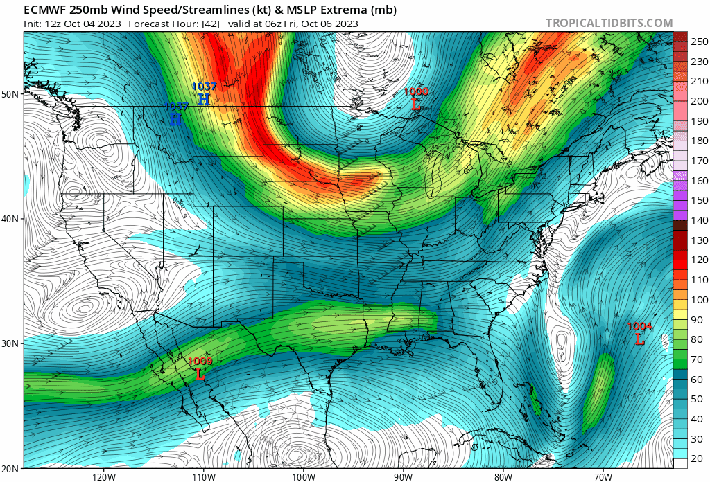
blp wrote:Looks like late October mischief on the horizon. Potential EPAC crossover.
https://i.ibb.co/hWBX4Bz/9f0c1b2159d3222c112d949e8c9cec6b096cb799e9750e63b0a2d2d643474396.png


ronjon wrote:12z GFS and CMC hinting at western Caribbean low pressure development in about 10 days. Climatologically favored area. Long time to watch.

Users browsing this forum: No registered users and 105 guests


