Yes. Bigtime adjustements to the whole file.
AL, 92, 2023100800, , BEST, 0, 87N, 186W, 25, 1010, DB, 0, , 0, 0, 0, 0, 1012, 120, 90, 0, 0, L, 0, , 0, 0, INVEST, S,
AL, 92, 2023100806, , BEST, 0, 84N, 197W, 25, 1010, DB, 0, , 0, 0, 0, 0, 1012, 120, 90, 0, 0, L, 0, , 0, 0, INVEST, S, 0, , 0, 0, 0, 0, genesis-num, 038,
AL, 92, 2023100812, , BEST, 0, 83N, 208W, 25, 1010, DB, 0, , 0, 0, 0, 0, 1013, 220, 110, 0, 0, L, 0, , 0, 0, INVEST, S, 0, , 0, 0, 0, 0, genesis-num, 038,
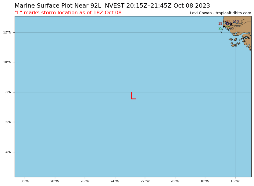
AL, 92, 2023100818, , BEST, 0, 83N, 223W, 25, 1010, DB, 0, , 0, 0, 0, 0, 1013, 200, 120, 0, 0, L, 0, , 0, 0, INVEST, S, 0, , 0, 0, 0, 0, genesis-num, 038,
AL, 92, 2023100900, , BEST, 0, 83N, 238W, 25, 1010, DB, 34, NEQ, 0, 0, 0, 0, 1013, 200, 120, 0, 0, L, 0, , 0, 0, INVEST, S, 0, , 0, 0, 0, 0, genesis-num, 038,