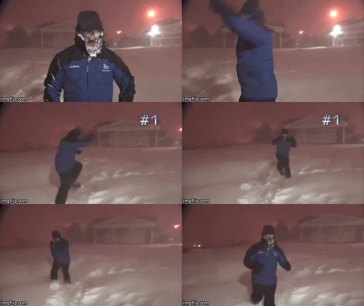
HockeyTx82 wrote:FWD is not sold on precip next week, sorry kiddos.....
.LONG TERM... /Issued 419 AM CST Tue Jan 9 2024/
/Late Week and This Weekend/
Another strong shortwave trough will move east across
Nebraska/Kansas and into the Mid Mississippi Valley Wednesday
night, before another strong trough organizes across the Desert
Southwest on Thursday. This storm system will exit out over the
region Thursday night and early Friday and will support another
strong surface cold front through the forecast area. The front
should clear the area by, or shortly after, daybreak Friday
morning. In advance of the vigorous mid level disturbance and cold
front, a 40-50 kt LLJ will help draw modified surface dew point
temperatures mostly in the 50s across far eastern North Texas into
eastern Central Texas Thursday night. The far southeast counties
may even see dew points briefly hit 60 degrees before the strong
cold front shunts it east and southeast out of these areas. An
axis of more moisture-rich air will be anchored from the Ark-La-
Tex southwest into Southeast Texas with a tight gradient of
convective rain chances as far west as I-35/35W.
Though the fast-moving cold front and dense airmass will undercut
most of the showers and storms making them primarily elevated, a
few surface-based storms are possible across our far eastern
counties. The marginal dew point temperatures combined with
relatively "cool" surface temperatures at night in the upper 50s
and lower 60s will only yield SB/MLCAPE values briefly around 500
J/KG later in the evening through midnight. However, fairly steep
lapse rates between 7-8 deg C/km will coincide with strong,
unidirectional west-southwesterly 65-75 kt deep layer shear.
These values can be attributed to a 100 kt+, jet max at at 500mb
ripping across South-Central Texas to the Upper Texas Coast.
Strong ageostrophic ascent via the left exit region will
juxtapose with the environmental set up to produce a few strong
to severe storm clusters or even a "line echo wave pattern" (or
LEWPs) containing hail and very gusty to damaging winds. The one
saving grace could be the time of day, limited surface-based
instability, and progressive nature of the synoptic features or
kinematics (cold front, shortwave, jet max, etc). Due to the more
straight-line type of hodograph and 0-1km wind fields paralleling
the intense winds aloft, any tornado threat will remain east of
our zones, though certainly a brief meso-low would need to be
monitored for closely.
In wake of this first strong cold front, low temperatures Friday
morning will start off quite chilly and range from the mid to
upper 20s across North Texas to the lower to mid 30s across
Central Texas. These chilly values combined with the very
blustery and gusty northwest winds 20 to 30 mph will yield
morning wind chill values from the single digits in the Red River
Valley, to the teens across the I-20 corridor, to the lower 20s
in eastern Central Texas. High temperatures Friday afternoon will
only reach into the 40s for all but the lower 50s across eastern
Central Texas. A chilly start to next weekend indeed with only a
brief modification with weak southerly flow Saturday and much of
Sunday. Lows will start off crisp in the 20s to mid 30s within the
dry airmass in place, but warm between the mid-upper 40s in North
Texas to the mid-upper 50s across Central Texas each afternoon.
However, the warm up will be short-lived as an even stronger and
colder arctic cold front arrives late Sunday into Monday. Better
lift and precipitation chances (sorry kiddos) should remain north
and east of our area where a strong shortwave and isentropic
ascent lifts from the Central Plains into the Ozarks and Mid
Mississippi Valley Sunday night into early morning next Monday.
Couldn`t rule out a few sprinkles or flurries across the far
eastern counties, but ensembles point to mostly a cold, blustery,
and dry forecast. What is certain is this will be quite the cold
airmass as noted by the 1040mb surface high center across the
Central High Plains. Lows Monday morning will range between the
lower teens to lower 20s across our far southeast counties.
Despite plentiful sunshine and associated insolation, as is always
the case with dense arctic airmasses, this environment will have
little impact on warming up afternoon temperatures with highs
struggling to reach or exceed freezing for all but eastern
Central Texas where lower-mid 30s are possible, but not
necessarily likely.
Just remember to wear layers on those chilly and blustery cold
days, as this is the best way to insulate one`s self. Also,

dripping faucets with warm water may save you the grief of a burst
water main or pipes in your home or building. Covering outdoor
faucets and turning off sprinklers wouldn`t be a bad idea either.
Stay warm North and Central Texas!
05/Marty

 The posts in this forum are NOT official forecast and should not be used as such. They are just the opinion of the poster and may or may not be backed by sound meteorological data. They are NOT endorsed by any professional institution or


