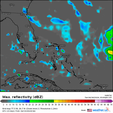
2. Southwestern Atlantic Ocean:
An area of low pressure could form by the middle part of next week
a few hundred miles northeast of the central Bahamas. Some slow
development of this system is possible thereafter while the system
moves westward or west-northwestward.
* Formation chance through 48 hours...low...near 0 percent.
* Formation chance through 7 days...low...20 percent.