WeatherBoy2000 wrote: https://x.com/MikeTFox5/status/1811227807684444356
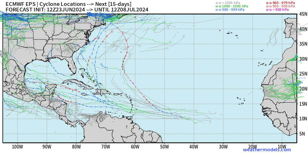
With Beryl and now this, it looks like the theme for this summer is very different from last summer which had very weak ridging in general. Stronger ridging favors suppressed and westward tracks (Beryl) which were non-existent last year. Of course this could change for the peak of the season, but this is foreboding and so far falls in line with climate model predictions.
This not only is one of the strongest Bermuda highs at 500 mb on record based on records back to 1950. It is THE strongest on record! The record strongest is 600 dm. This one is progged to peak way up at ~604 dm tomorrow evening! Bermuda itself is progged to peak at 601-2, which would beat its record of 600 dm. It’s amazing what the warmest oceans on record are causing.
The strongest on record for the entire Atlantic is 603 (just offshore Casablanca, Morocco). So, this looks to be the strongest on record for the entire Atlantic! The strongest on record for entire globe is 605.6 in the NPAC S of the Aleutians.