


ThunderForce wrote:Huh? Are tropical waves really less likely to strengthen if they stall for a time? I haven't heard this before.
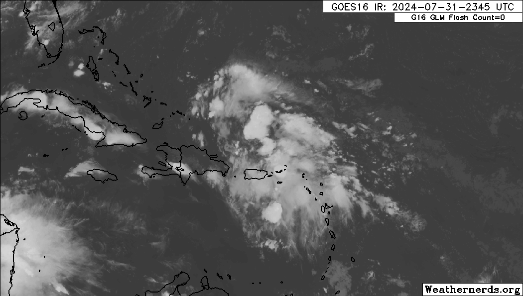
This is related to the current tropical wave that's being monitored in this thread.
https://x.com/bryan_maxw46284/status/1818763674569289753
Yeah this is objectively false. Hurricane Sally in 2020 comes to mind.


