ZCZC MIATWOAT ALL
TTAA00 KNHC DDHHMM
Tropical Weather Outlook
NWS National Hurricane Center Miami FL
200 AM EDT Thu Aug 8 2024
For the North Atlantic...Caribbean Sea and the Gulf of Mexico:
Active Systems:
The National Hurricane Center is issuing advisories on Tropical
Storm Debby, located on the coast of South Carolina.
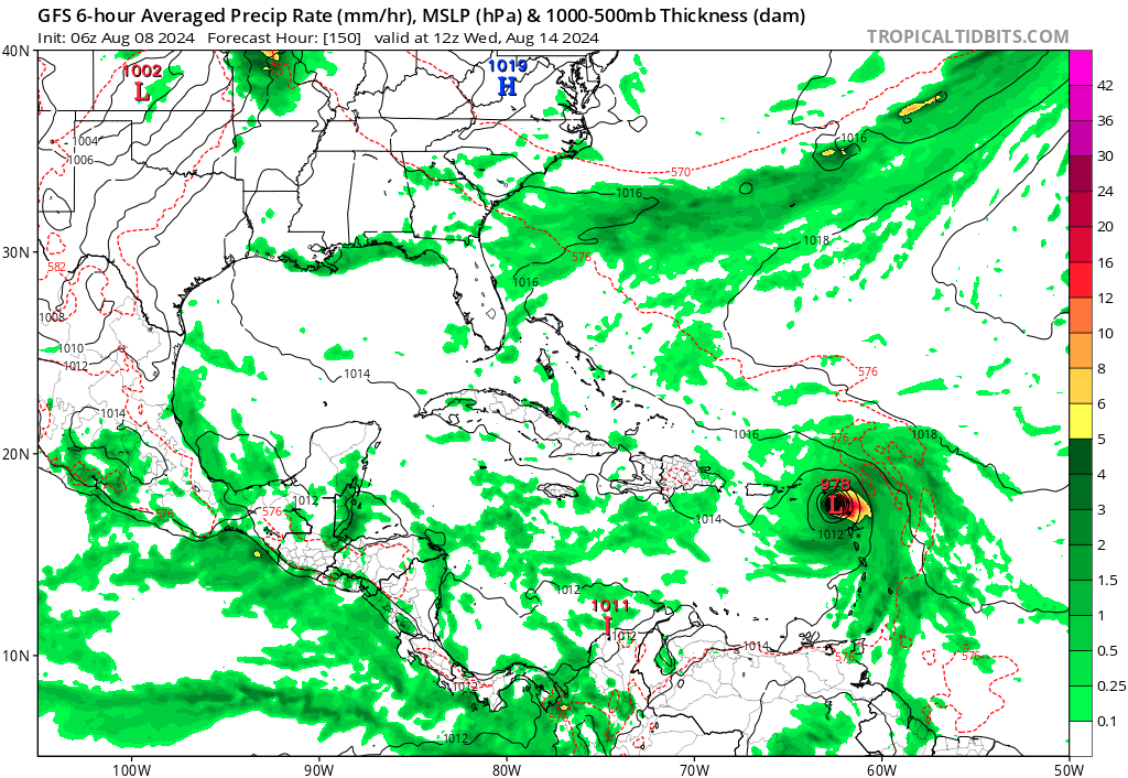
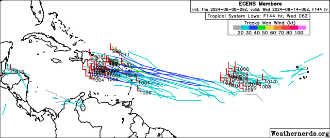
1. Near the Lesser and Greater Antilles:
An area of low pressure could form in the central or western
tropical Atlantic Ocean early next week. Some development of this
system is possible while it approaches the Lesser Antilles during
the early to middle part of next week and moves generally
west-northwestward toward the Greater Antilles thereafter.
* Formation chance through 48 hours...low...near 0 percent.
* Formation chance through 7 days...low...20 percent.
Forecaster Bucci
TTAA00 KNHC DDHHMM
Tropical Weather Outlook
NWS National Hurricane Center Miami FL
200 AM EDT Thu Aug 8 2024
For the North Atlantic...Caribbean Sea and the Gulf of Mexico:
Active Systems:
The National Hurricane Center is issuing advisories on Tropical
Storm Debby, located on the coast of South Carolina.
1. Near the Lesser and Greater Antilles:
An area of low pressure could form in the central or western
tropical Atlantic Ocean early next week. Some development of this
system is possible while it approaches the Lesser Antilles during
the early to middle part of next week and moves generally
west-northwestward toward the Greater Antilles thereafter.
* Formation chance through 48 hours...low...near 0 percent.
* Formation chance through 7 days...low...20 percent.
Forecaster Bucci