2024 Global Model Runs Discussion (Out thru day 16)

This is the general tropical discussion area. Anyone can take their shot at predicting a storms path.

Moderator: S2k Moderators

Forum rules

The posts in this forum are NOT official forecasts and should not be used as such. They are just the opinion of the poster and may or may not be backed by sound meteorological data. They are NOT endorsed by any professional institution or STORM2K. For official information, please refer to products from the National Hurricane Center and National Weather Service.

Help Support Storm2K
Message
Author
User avatar
Teban54
Category 5
Category 5
Posts: 3169
Joined: Sat May 19, 2018 1:19 pm

Re: 2024 Global Model Runs Discussion (Out thru day 16)

#1041 Postby Teban54 » Mon Aug 19, 2024 7:10 pm

DorkyMcDorkface wrote:
toad strangler wrote:


:lol:

August 2023 has nothing to do with this year or any other year probably since the dinosaurs.

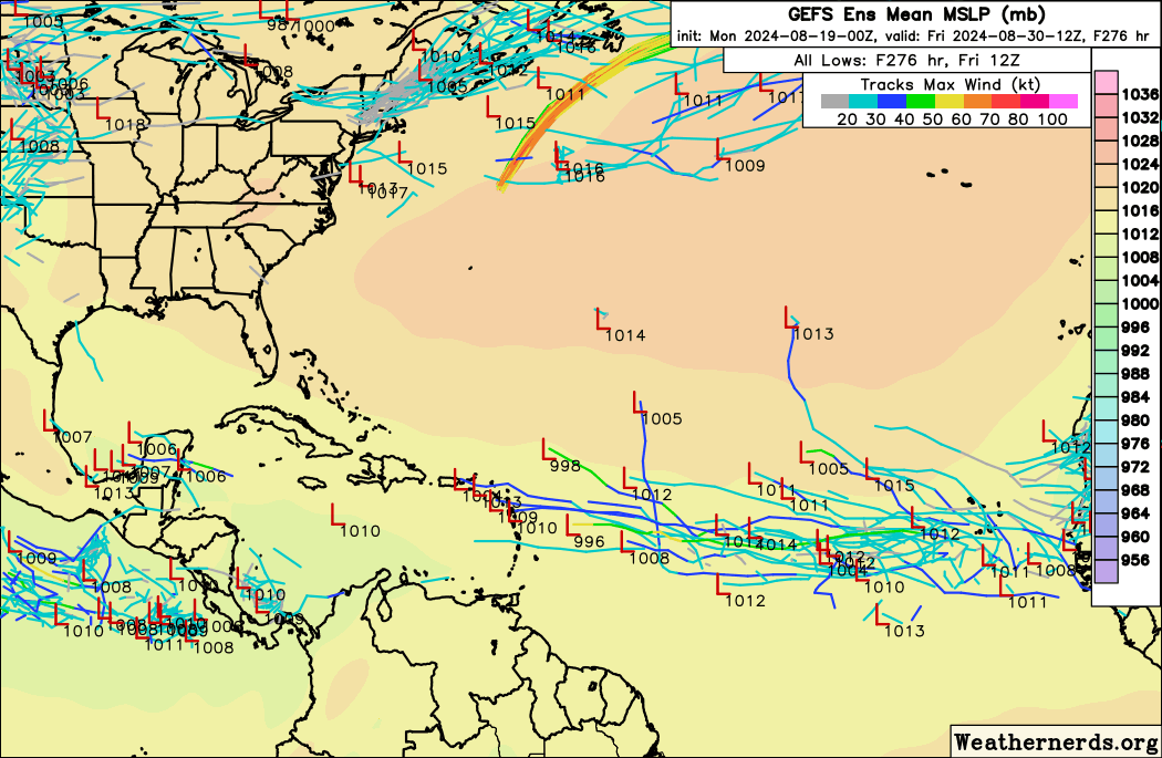
Something else that should probably be mentioned is that it's not like each of those crayons resulted in a parade of hurricanes. Only the Caribbean one ended up becoming a significant system in Franklin
(and even then it was a disorganized TS in the Caribbean proper). Excluding that one, from left to right you had Harold, Gert, Emily and Jose, all of which maxed out at TS intensity, and the only one that actually peaked in the MDR ended up being Emily which was sheared slop. So while yes, the Atlantic was rife with activity around that time most of it was weak and/or short-lived rather than ACE-gobbling long trackers.

Lifespans of the storms shown here:
  • Emily: 1.25 days as TS, peak 45 kt
  • Franklin: 12.5 days as TC, 12.25 days as TS+, 6.25 days as H, 2 days as MH, peak 130 kt
  • Gert Part 1: 3.25 days as TC, 1 day as TS, peak 35 kt (It regenerated later, and spent another 3.75 days as TC and 2.75 days as TS, with peak 50 kt)
  • Harold: 1.75 days as TC, 0.75 days as TS, peak 50 kt
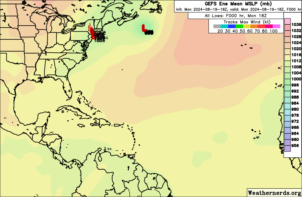
  • Yellow AOI to the east: 0 days
When these storms actually happened in real time, people were complaining they were trash and name-wasters, and did not suggest favorable conditions for the season. Same for many tropical storms in 2019, 2020 and 2021.
5 likes   

User avatar
REDHurricane
Category 1
Category 1
Posts: 395
Age: 27
Joined: Sun Jul 03, 2022 2:36 pm
Location: Northeast Pacific Ocean

Re: 2024 Global Model Runs Discussion (Out thru day 16)

#1042 Postby REDHurricane » Mon Aug 19, 2024 7:14 pm

Blown Away wrote:[url]https://i.postimg.cc/0jnmMm2M/IMG-8187.jpg [/url]

18z GEFS… Looks like possible CV long tracker possible…


Good thing we've never seen a powerful MDR long tracker form/develop just 10-14 days after "season might bust" talk reaches its climatological apex :double:
8 likes   

User avatar
Hammy
Category 5
Category 5
Posts: 5849
Age: 41
Joined: Fri May 25, 2012 5:25 pm
Contact:

Re: 2024 Global Model Runs Discussion (Out thru day 16)

#1043 Postby Hammy » Mon Aug 19, 2024 7:44 pm

Blown Away wrote:[url]https://i.postimg.cc/0jnmMm2M/IMG-8187.jpg [/url]

18z GEFS… Looks like CV long tracker is possible…


Is the Central Gulf signal new? I don't remember if it was there earlier, but I've been largely focused on the MDR
0 likes   
The above post is not official and should not be used as such. It is the opinion of the poster and may or may not be backed by sound meteorological data. It is not endorsed by any professional institution or storm2k.org. For official information, please refer to the NHC and NWS products.

User avatar
Blown Away
S2K Supporter
S2K Supporter
Posts: 10140
Joined: Wed May 26, 2004 6:17 am

Re: 2024 Global Model Runs Discussion (Out thru day 16)

#1044 Postby Blown Away » Mon Aug 19, 2024 7:48 pm

Hammy wrote:
Blown Away wrote:[url]https://i.postimg.cc/0jnmMm2M/IMG-8187.jpg [/url]

18z GEFS… Looks like CV long tracker is possible…


Is the Central Gulf signal new? I don't remember if it was there earlier, but I've been largely focused on the MDR


Looks like it, I have no doubt there will be a MH lurking in the Atlantic Basin come Labor Day… :bored:
0 likes   
Hurricane Eye Experience: David 79, Irene 99, Frances 04, Jeanne 04, Wilma 05... EYE COMING MY WAY IN 2024…
Hurricane Brush Experience: Andrew 92, Erin 95, Floyd 99, Matthew 16, Irma 17, Ian 22, Nicole 22…

WeatherBoy2000
Category 1
Category 1
Posts: 285
Joined: Mon Apr 10, 2023 9:29 am

Re: 2024 Global Model Runs Discussion (Out thru day 16)

#1045 Postby WeatherBoy2000 » Mon Aug 19, 2024 7:50 pm

 https://x.com/flimpct/status/1825670911866941887


Notable uptrend on the gefs for around the 27th, too early to really start doubting things.
0 likes   

tolakram
Admin
Admin
Posts: 19990
Age: 61
Joined: Sun Aug 27, 2006 8:23 pm
Location: Florence, KY (name is Mark)

Re: 2024 Global Model Runs Discussion (Out thru day 16)

#1046 Postby tolakram » Mon Aug 19, 2024 7:56 pm

If you look at the latest GFS vorticity plots you'll notice any organized vorticity gets ripped up. This could change on a dime, of course, but right now something is off.

Image

Euro has a very similar look (not posted)
2 likes   
M a r k
- - - - -
Join us in chat: Storm2K Chatroom Invite. Android and IOS apps also available.

The posts in this forum are NOT official forecasts and should not be used as such. Posts are NOT endorsed by any professional institution or STORM2K.org. For official information and forecasts, please refer to NHC and NWS products.

User avatar
WaveBreaking
Category 2
Category 2
Posts: 566
Joined: Sun Jun 30, 2024 11:33 am
Location: US

Re: 2024 Global Model Runs Discussion (Out thru day 16)

#1047 Postby WaveBreaking » Mon Aug 19, 2024 8:07 pm

Models may be picking up on the start of the anticipated southward shift and breakdown of the monsoon trough within the next 5 days or so.


Both the GEFS and EPS show the belt of strong westerlies in the 700mb level associated with the trough near 10N give way to E and ENE winds after ~120 hours. This will allow tropical waves to actually make it off the coast without getting absorbed into the trough (NOTE: This wind shift is not reflected in the 850mb level winds, but it still is a signal worth noting.):

Image

Image


PWAT Anomalies increase and stay above average after this wind shift as well:

Image

Image


Additionally, the currently-screaming TEJ is modeled by both ensemble groups to weaken and shift southward with the monsoon trough, bringing much less shear and anticyclonic outflow top the general area the waves will be moving through:

Image

Image


Reminder that this is very far out in the runs, but the main reason I'm posting about this is because the main models are agreeing on something (even the Canadian ensembles show this), and they are usually more correct than usual in these circumstances, especially if they pick up on it pretty early (i.e., Lee's insane run at C5 during an El Niño).
4 likes   
I am NOT a professional meteorologist, so take all of my posts with a grain of salt. My opinions are mine and mine alone.

User avatar
Teban54
Category 5
Category 5
Posts: 3169
Joined: Sat May 19, 2018 1:19 pm

Re: 2024 Global Model Runs Discussion (Out thru day 16)

#1048 Postby Teban54 » Mon Aug 19, 2024 9:15 pm

18z GEFS seems to continue with the trend of "6z and 18z further NE, 0z and 12z further SW". I'm not sure why that's the case, but IF we take it as given, it should theoretically suggest that 6z and 18z would be less active due to proximity to SAL. In that case, it's notable that 18z seems at least comparable to 12z in the number of members with MDR development, while trending upward in intensity (though that could also be due to less land interaction).

Image

What I myself see (that may or may not be correct) are two trends: Greater separation of the two waves that depart Africa around 8/24 and 8/27 respectively; The 8/24 wave moving faster; Or both. On earlier runs, it was often hard to tell which wave actually developed. The 18z run seems to favor the 8/24 wave, with 10-15 members developing at any point (30-50%) according to my best guess, while the 8/27 wave is either more anemic or develops further west. The trend GIF below shows it pretty well.

Also, the 18z run seems enthusiastic about some subsequent waves that splash off near the end of the run, at least in terms of showing lows.

Image
2 likes   

User avatar
Teban54
Category 5
Category 5
Posts: 3169
Joined: Sat May 19, 2018 1:19 pm

Re: 2024 Global Model Runs Discussion (Out thru day 16)

#1049 Postby Teban54 » Mon Aug 19, 2024 9:23 pm

tolakram wrote:If you look at the latest GFS vorticity plots you'll notice any organized vorticity gets ripped up. This could change on a dime, of course, but right now something is off.

https://i.imgur.com/JbShzfG.gif

Euro has a very similar look (not posted)

Comparing the PWAT outputs of several models' 12z to 18z runs (as shown below), I have to wonder if GFS is sending the waves too far north relative to other models. Waves on the CMC (at the end of this run, 12z 8/29) are by far the most organized, and they seem a lot more south compared to the GFS. (That doesn't explain the Euro, so idk.)

Image
0 likes   

Stratton23
Category 5
Category 5
Posts: 2374
Joined: Fri Jul 21, 2023 10:59 pm
Location: Katy, Tx

Re: 2024 Global Model Runs Discussion (Out thru day 16)

#1050 Postby Stratton23 » Tue Aug 20, 2024 12:00 am

00z GFS is showing a lot of these waves holding togther more now instead of getting strung out, multiple AEW’s through the caribbean and MDR, its definitely trending toward pretty active
0 likes   

User avatar
Ubuntwo
Category 5
Category 5
Posts: 1401
Age: 31
Joined: Thu Oct 05, 2017 10:41 pm

Re: 2024 Global Model Runs Discussion (Out thru day 16)

#1051 Postby Ubuntwo » Tue Aug 20, 2024 12:01 am

0z GFS feels like a switch has been flipped vs. all prior runs. Five waves give it a go at development with strong vorticity signatures.
1 likes   
Kendall -> SLO -> PBC

Memorable Storms: Katrina (for its Florida landfall...) Wilma Matthew Irma

User avatar
cheezyWXguy
Category 5
Category 5
Posts: 6092
Joined: Mon Feb 13, 2006 12:29 am
Location: Dallas, TX

Re: 2024 Global Model Runs Discussion (Out thru day 16)

#1052 Postby cheezyWXguy » Tue Aug 20, 2024 12:09 am

Everyone can come back now guys, the models are doing the thing
9 likes   

Stratton23
Category 5
Category 5
Posts: 2374
Joined: Fri Jul 21, 2023 10:59 pm
Location: Katy, Tx

Re: 2024 Global Model Runs Discussion (Out thru day 16)

#1053 Postby Stratton23 » Tue Aug 20, 2024 12:12 am

yeah the 00z GFS completely flipped on the switch, 5 areas of interest on that run
1 likes   

User avatar
Teban54
Category 5
Category 5
Posts: 3169
Joined: Sat May 19, 2018 1:19 pm

Re: 2024 Global Model Runs Discussion (Out thru day 16)

#1054 Postby Teban54 » Tue Aug 20, 2024 12:15 am

0z AUGUST 20.

Works like magic, right?

Image
6 likes   

User avatar
skyline385
Category 5
Category 5
Posts: 2728
Age: 34
Joined: Wed Aug 26, 2020 11:15 pm
Location: Houston TX

Re: 2024 Global Model Runs Discussion (Out thru day 16)

#1055 Postby skyline385 » Tue Aug 20, 2024 12:18 am

Keep an eye on the Caribbean storm on the GFS, it was on the CMC as well and its from a TW leaving Africa in 2-3 days. It is not your typical GFS fantasy cane and could be our next system.

Image

Image
1 likes   

User avatar
Teban54
Category 5
Category 5
Posts: 3169
Joined: Sat May 19, 2018 1:19 pm

Re: 2024 Global Model Runs Discussion (Out thru day 16)

#1056 Postby Teban54 » Tue Aug 20, 2024 12:23 am

skyline385 wrote:Keep an eye on the Caribbean storm on the GFS, it was on the CMC as well and its from a TW leaving Africa in 2-3 days. It is not your typical GFS fantasy cane and could be our next system.

https://i.imgur.com/dhxvH09.png

https://i.imgur.com/SOTS4Kv.png

962 mb in the Gulf... This is the 384 hr GFS that we knew and loved :lol:
Image
1 likes   

MarioProtVI
Category 4
Category 4
Posts: 932
Age: 23
Joined: Sun Sep 29, 2019 7:33 pm
Location: New Jersey

Re: 2024 Global Model Runs Discussion (Out thru day 16)

#1057 Postby MarioProtVI » Tue Aug 20, 2024 12:35 am

Teban54 wrote:
skyline385 wrote:Keep an eye on the Caribbean storm on the GFS, it was on the CMC as well and its from a TW leaving Africa in 2-3 days. It is not your typical GFS fantasy cane and could be our next system.

https://i.imgur.com/dhxvH09.png

https://i.imgur.com/SOTS4Kv.png

962 mb in the Gulf... This is the 384 hr GFS that we knew and loved :lol:
https://i.postimg.cc/cJMMLWTq/image.png

Featuring the classic South American ghost genesis too
0 likes   

User avatar
chaser1
S2K Supporter
S2K Supporter
Posts: 5412
Age: 64
Joined: Sat Oct 15, 2005 5:59 pm
Location: Longwood, Fl

Re: 2024 Global Model Runs Discussion (Out thru day 16)

#1058 Postby chaser1 » Tue Aug 20, 2024 12:40 am

It's a humidity thing. I just put in a call to Mother Nature Ventilation. They've already diagnosed the problem and attributed the dust build-up to an overactive Easterly air handler. A part has ordered to be shipped to W. Africa where air duct cleaning is already underway. Mother Nature suggested that normalized conditions should be realized on or before August 27.
1 likes   
Andy D

(For official information, please refer to the NHC and NWS products.)

User avatar
Hammy
Category 5
Category 5
Posts: 5849
Age: 41
Joined: Fri May 25, 2012 5:25 pm
Contact:

Re: 2024 Global Model Runs Discussion (Out thru day 16)

#1059 Postby Hammy » Tue Aug 20, 2024 12:43 am

IT'S ALIIIIIIVE

Image
2 likes   
The above post is not official and should not be used as such. It is the opinion of the poster and may or may not be backed by sound meteorological data. It is not endorsed by any professional institution or storm2k.org. For official information, please refer to the NHC and NWS products.

IcyTundra
Category 5
Category 5
Posts: 1205
Joined: Mon Jun 07, 2021 9:32 pm
Location: Dickinson, Texas

Re: 2024 Global Model Runs Discussion (Out thru day 16)

#1060 Postby IcyTundra » Tue Aug 20, 2024 12:43 am

Finally the GFS decided to wake up.
1 likes   


Return to “Talkin' Tropics”

Who is online

Users browsing this forum: JtSmarts, ncforecaster89, RomP, tolakram and 228 guests