Moderator: S2k Moderators


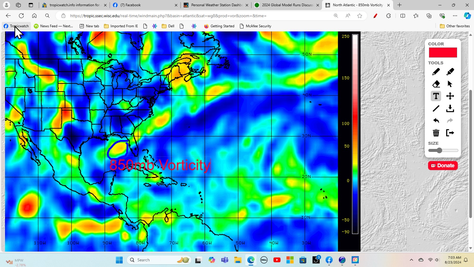
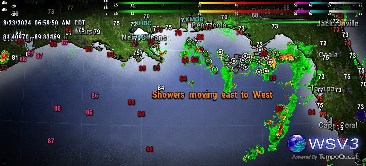
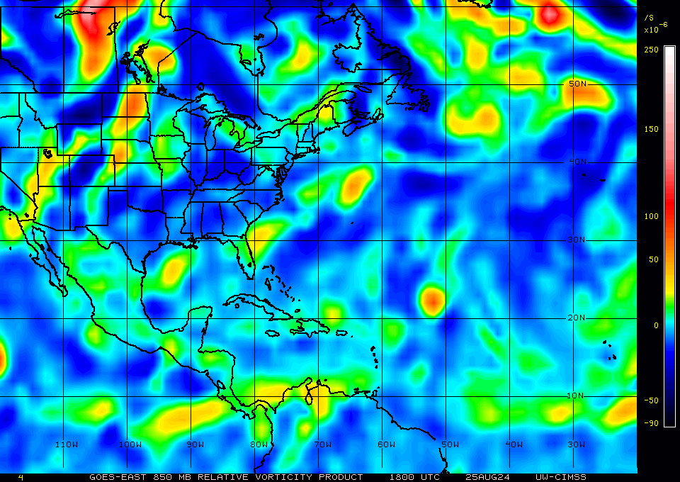
ChrisH-UK wrote:Still rolling along in the gulf. It has a broad rotation with some convective development and will end up bring a bit of rain fall to northern Texas
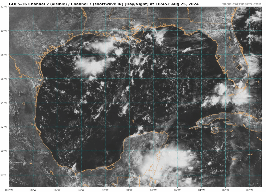
A radar loop out of Lake Charles and a 2 hour sat lopp.
[url]https://imagizer.imageshack.com/img922/48/Kq0Den.gif [/url]
[url]https://imagizer.imageshack.com/img922/1732/XahMGC.gif [/url]
Users browsing this forum: mixedDanilo.E and 86 guests


