


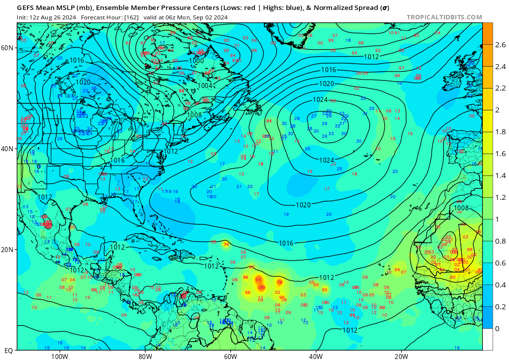
(Edit: Revised the number to 17, but it can also be as low as 15 as two other lows may be from a subsequent wave. Also, just for fun, one of the ensemble members show Beryl 2.0. This is the furthest south I've seen in a reasonably close-in time frame.)
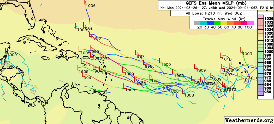
12z GFS has 4 AOIs:
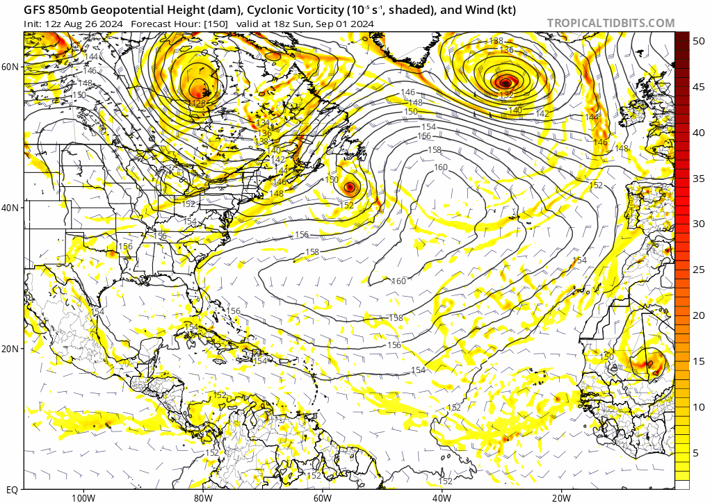
1. A weak vort during 72-96 hrs in the central Atlantic, that dissipates soon after. I believe it's the same wave that its ensembles are showing.
2. A TS just offshore Africa in 8 days (9/3). This has one of the wildest evolutions I've seen: Develops quickly after splashdown and gets down to 1005 mb, only to do a Fujiwhara with another wave inside Africa and gets pulled southeast. The system (or its remnants) even make landfall in Africa, before moving N near the coastline and NW again. I can't recall many storms moving SE, and certainly not this far east!
3. A weak vort/TC in the central Atlantic starting at around 276 hrs, ending the run NE of the Lesser Antilles.
4. A Gulf hurricane from the same wave as #1. Usual caveats that GFS's South American vorticity may be involved.


