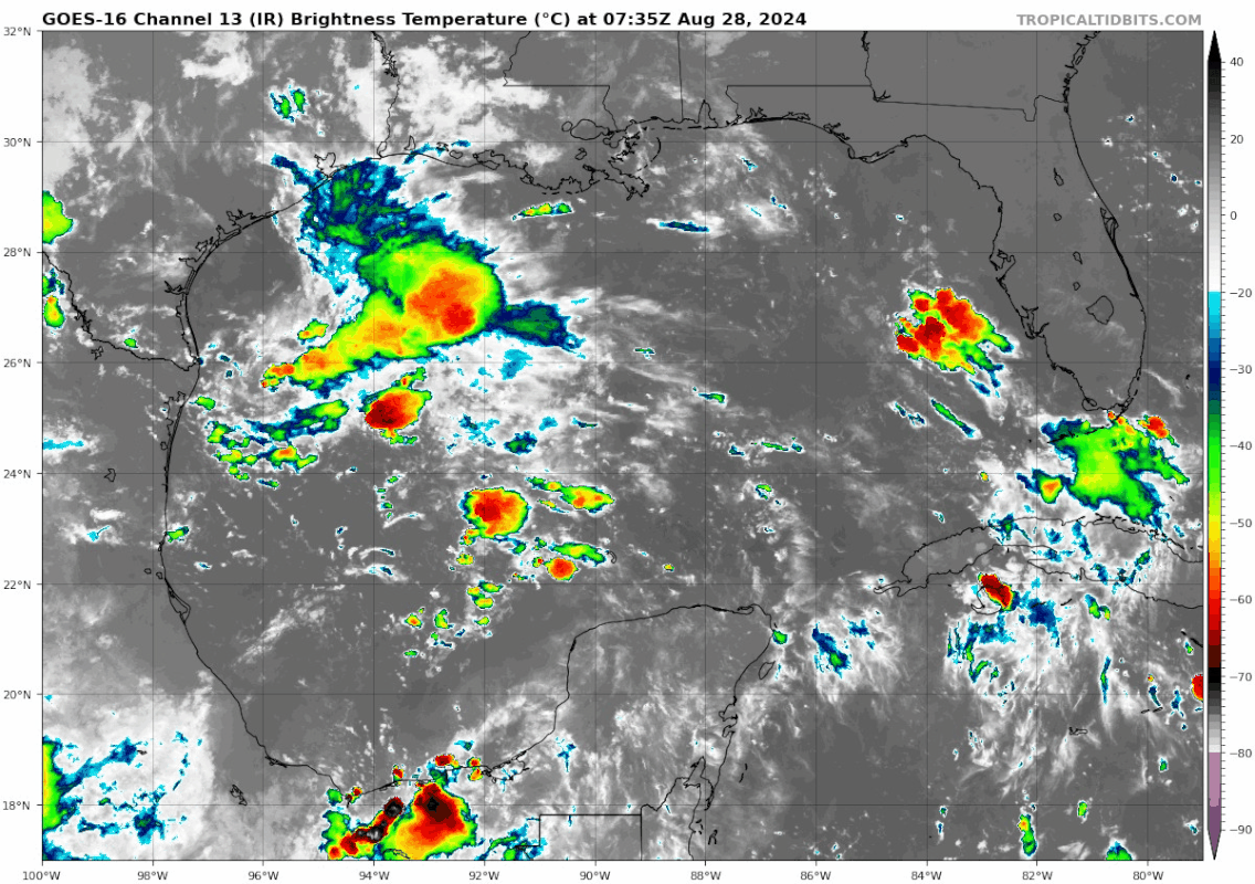
underthwx wrote:Teban54 wrote:The western Gulf has been convectively active since yesterday, and remains so this morning while being a bit stronger (could be due to DMAX). Shear is visibly strong that inhibits development for now, but there's nevertheless been a small build-up of vorticity in that region.
To me, it seems like the current convective build-up is outperforming GFS expectations from the 6z run (as seen from the run's IR Satellite forecasts). Both GFS and ECMWF also show shear in this region dropping in the next 2 days and remaining low for about a week. Could be something to watch.
https://i.postimg.cc/HnwXHYHL/goes16-ir-gom.gif https://i.postimg.cc/8kMhLHWV/image.png
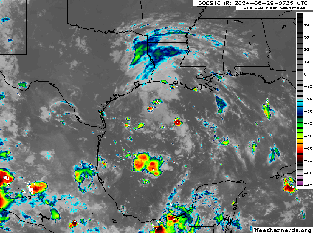
Yeah Teban....I looked at satellite of the gulf....it caught my eye....do you think this will become an NHC area of interest?...
The posts in this forum are NOT official forecasts and should not be used as such. They are just the opinion of the poster and may or may not be backed by sound meteorological data. They are NOT endorsed by any professional institution or
STORM2K. For official information, please refer to products from the
NHC and
NWS.
I probably don't know any more than you do, but the system currently has little to no model support. If there are signs of development, we'll need to catch up in real time, and even that may be unlikely as most models seem to send the vorticity inland soon. In the event that it develops, it will probably be akin to Imelda 2019 in terms of genesis (not impact), while having a much shorter notice from the NHC. (Imelda at least got a lemon for 3 days, but jumped from 30/30 to a named storm just hours before it made landfall and weakened to a TD.)
I still think it's unlikely to do much, but we'll see.