

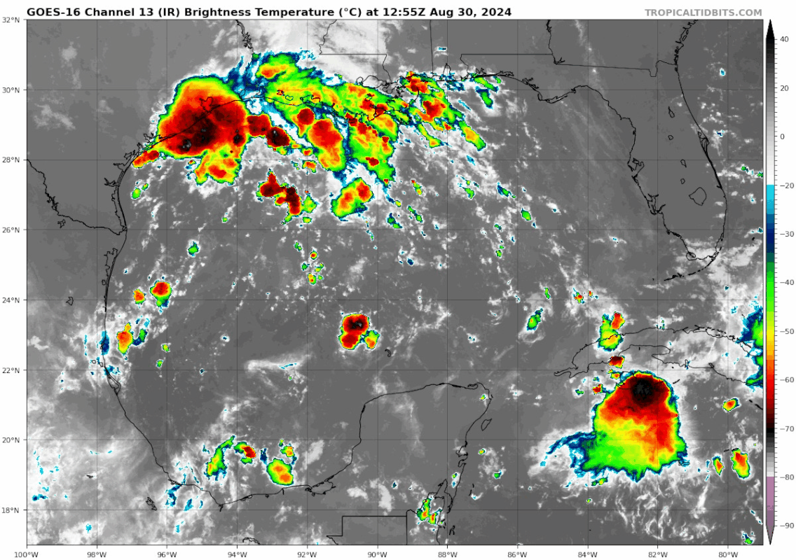
Teban54 wrote:cycloneye wrote:Northwestern Gulf of Mexico:
A surface trough of low pressure over the northwestern Gulf of
Mexico is producing a large area of disorganized showers and
thunderstorms along and just offshore the coasts of Texas and
Louisiana. This system is expected to meander near the coast
through much of next week, and some slow development is possible if
it remains offshore. Regardless of development, heavy rains could
cause some flash flooding across portions of coastal Louisiana and
the upper Texas coast during the next few days.
* Formation chance through 48 hours...low...10 percent.
* Formation chance through 7 days...low...20 percent.
https://i.imgur.com/kl5ngnx.png
The recent blowup in convection likely contributed to the newly highlighted lemon:
https://i.postimg.cc/G3ypV6zN/goes16-ir-gom.gif
This could be one of those cases when the NHC is behind when they then up the %s quickly with each TWO and before you know it is a cherry. But it obviously still remains to be seen if this is going to develop. It wouldn’t surprise me if it did. They’re probably too low with 10%/20%.


