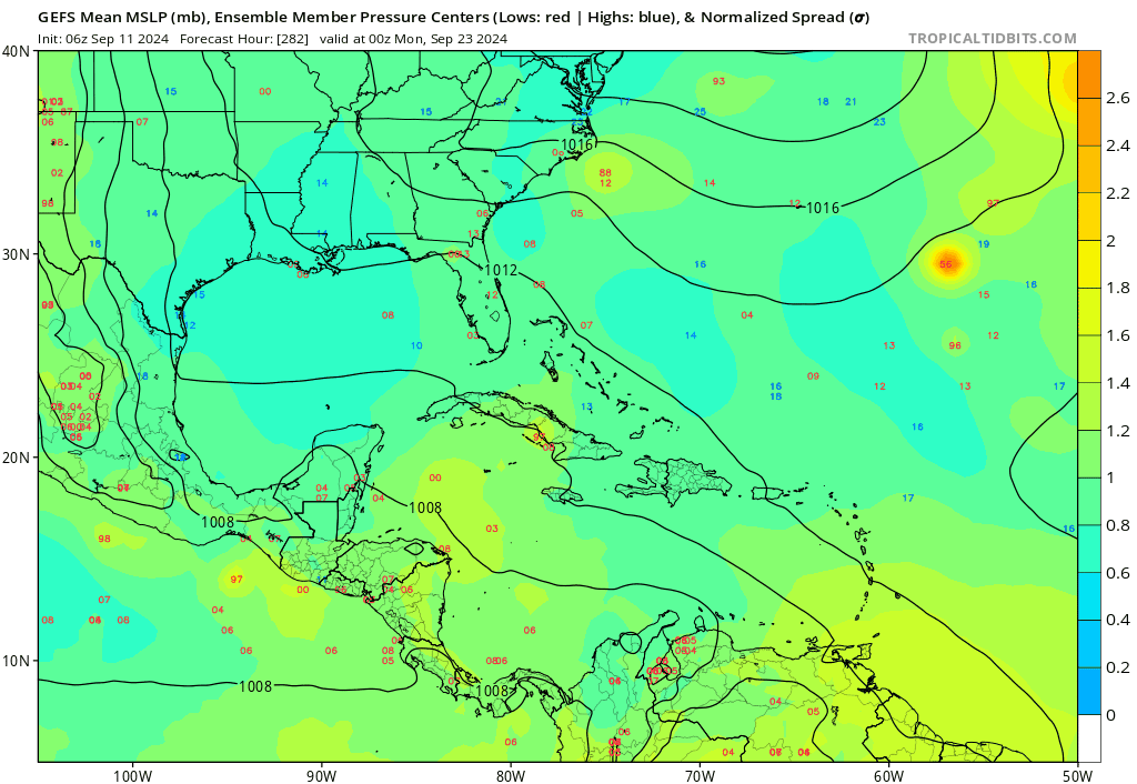
USTropics wrote:al78 wrote:Given the very quiet Pacific, little activity on the horizon for the Atlantic over the next few days apart from TD7 which will likely generate minimal amounts of ACE, and the Atlantic basin has now dropped below the 1991-2020 climatology to-date, I'm thinking this year could be close to a record low for tropical cyclone activity across the northern hemisphere this year assuming we only include the satellite era.
Thanks for continuing to post here, gives us a unique opportunity to pick the brain of one of our better mets/seasonal forecasters

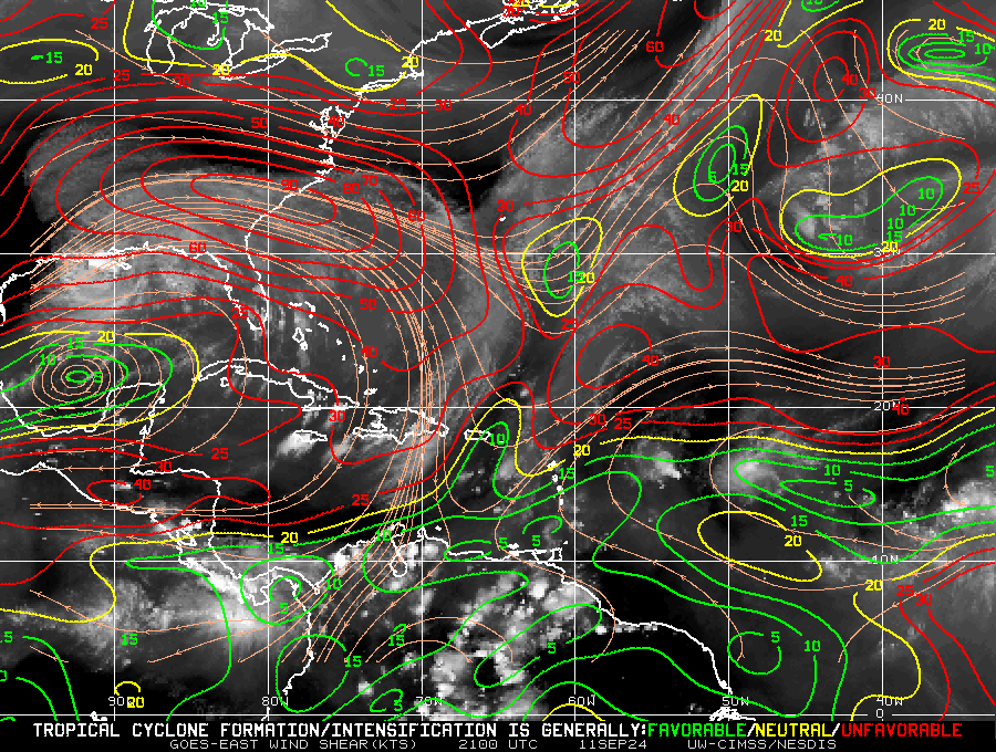
. Have you had any time to preliminary look at what type of 'fail mechanics' are disrupting activity in the NH and/or Atlantic? There have been quite a few different reasonings (mostly localized to the Atlantic), like (1) ITF position in the August/September months was anomalously higher in latitude due to displaced northern temp gradient,(2) overactive WAM also displaced north with weak vort maxes in the southern axis, (3) NAO+ being too extreme impacting dry air intrusions through regional atmospheric circulations, (4) destabilization of tropical troposphere with increasing upper tropospheric temps (relative to SSTA+) with decreased lapse rates, or (5) intraseasonal variability that can't be accurately forecasted at monthly lead times. If we're talking a hemispheric slowdown, would we want to look more at (4) and (5)? I know this answer is multifaceted with multiple/compounding issues, but which fail mechanic would you give more weight towards (or any other parameters/fail mechanics you're looking at adding to future seasonal forecasts)?
"Better mets" Thanks, but I'm not sure I qualify. When I read the discussion on individual storms on here it makes me realise how little I know about tropical cyclones beyond the fundamentals, so I view this forum as a good learning tool. I suspect contributors on here who live in regions vulnerable to tropical cyclones will have very good local meteorological knowledge which helps to give a perspective on an ongoing situation that someone living remote from the tropics like me doesn't have.
I haven't gone into detail looking at reasons for the huge under-performance of the Atlantic basin this year beyond following the discussion on here and brief communication with Phil Klotzbach. It is something I would like to spend some time doing, as when there is a forecast failure like this, I feel it is important to understand why, rather than brush it under the intra-seasonal variability carpet. The TSR model uses a statistical linear regression model to give an initial prediction of the seasonal numbers, followed by adjustments based on other factors not included in the regression and/or judgement. An understanding of some of the physical mechanisms in place over-riding a normally highly favourable pre-season setup will help improve judgement in the future.
Since I no longer work for a university and now work for EuroTempest, I cannot spend too much time in office hours looking into this given I am encouraged to prioritise work which is likely to contribute to revenue, but I will use at least some of my out-of-office hours to look into this.