#476 Postby TomballEd » Thu Sep 19, 2024 6:53 pm
People are acting surprised that a complex CAG set up, possible destructive interference from a Pacific storm from the same CAG, and formation location not known since there aren't even thunderstorms in the Gulf excluding daytime storms firing over land. And the mid and upper heights that will effect steering will be affected by systems over the Pacific with no sounding data. There is remote sensing and some aircraft (the air freight companies are good about this) data, so it isn't a complete unknown.
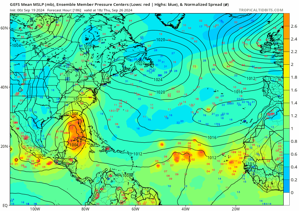
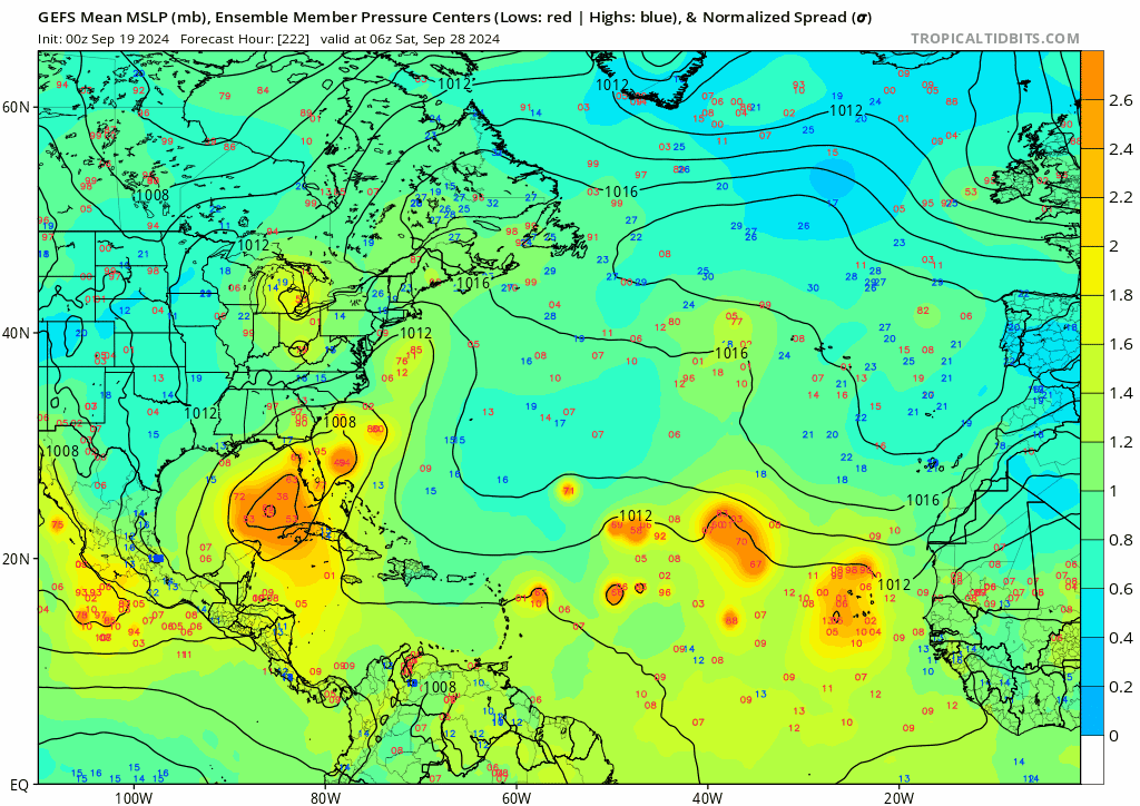
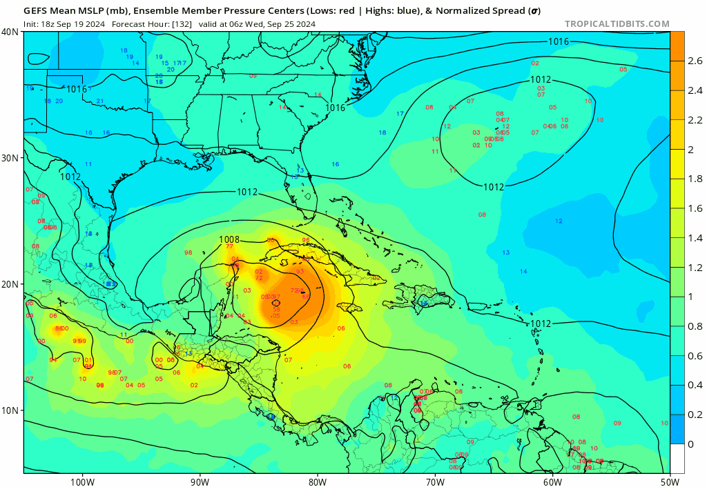
A sign of a GFS phantom cane in the W. Caribbean is often each days runs have the system the same number of days away. The other models have this, so a phantom cane is less likely, but if we're still talking about a storm forming 5 or 7 days away this time week, I'm going to start to lose faith in the whole thing. I still think, only because various models are seeing a similar scenario. Climatology at the end of September (or maybe early October as the model delays continue) says if it makes it to the Gulf, Central Louisiana to the Gulf coast of Florida will be the most likely landfall target. Strength can't be predicted this early, because shear can't be predicted this long off, and the time over the Gulf with very high OHC, which is a product of the steering.
I still think there is better than 50% chance of TC development, and it likely gets to the Florida Gulf coast, one way or the other.
1 likes