

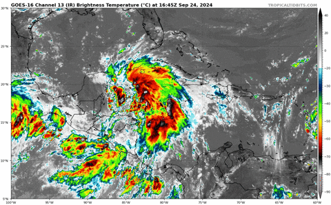
TomballEd wrote:Not many hints of banding features or rotation in the wider view infrared. Big system, yes, looks like a healthy TC, not at all. This probably isn't in a hurry to organize.
https://i.giphy.com/media/v1.Y2lkPTc5MGI3NjExZzI5Z3l6azVmNjE4dHkzYmt4NTAzbHRnZXN5dTBseXJ5a21xZnRqMSZlcD12MV9pbnRlcm5hbF9naWZfYnlfaWQmY3Q9Zw/LEaBkR5vuANd0nPYBy/giphy.gif
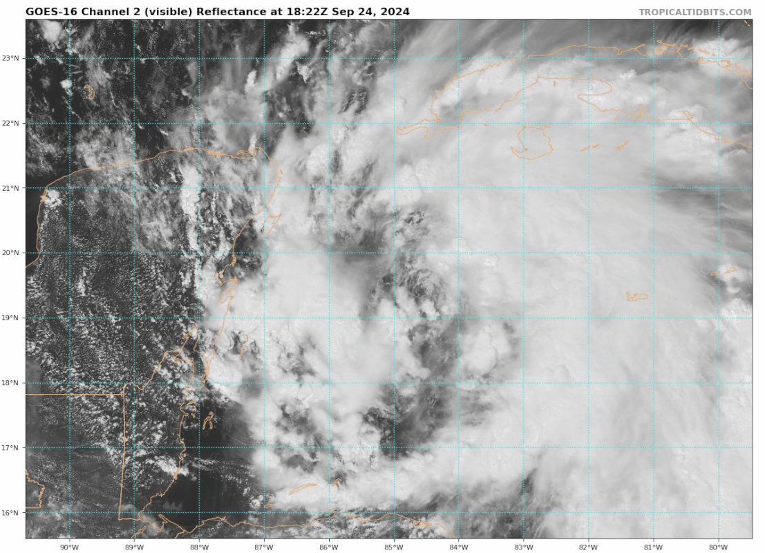
Where do you see a lack of banding? I see plenty of banding, along with little evidence of shear. It seems to be quite the impressive system so far with banding around the entire system. There is excellent outflow as well. Especially in the northeast quadrant.


