ATL: HELENE - Models

Moderator: S2k Moderators

Message
Author
User avatar
AnnularCane
S2K Supporter
S2K Supporter
Posts: 2859
Joined: Thu Jun 08, 2006 9:18 am
Location: Wytheville, VA

Re: ATL: HELENE - Models

#741 Postby AnnularCane » Wed Sep 25, 2024 1:20 pm

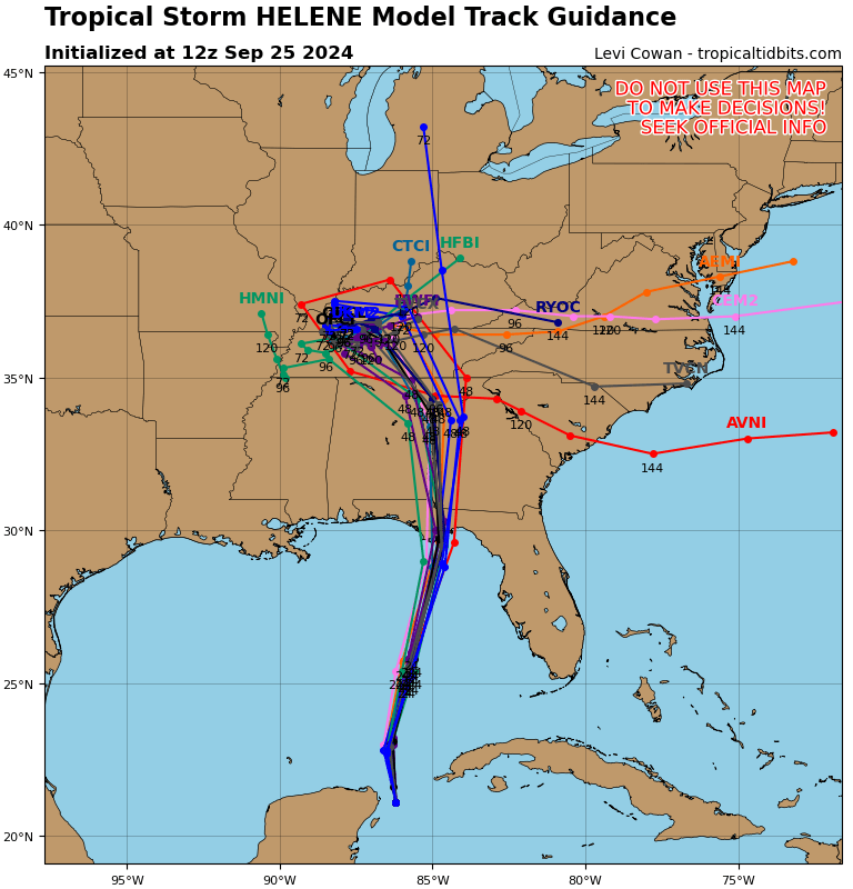
ThunderForce wrote:So, this is a weird question, but does anyone know why the NHC's cone and the model track guidance on Tropical Tidbits are so much further west in comparison to the actual models? The latter shows many of the models (and therefore TVCN) to the left of their operational runs, which is pretty confusing.
https://i.postimg.cc/VNf0ydSb/09-L-tracks-latest.png


I'm wondering more about those tracks that appear to be heading back east.
0 likes   
"But it never rained rain. It never snowed snow. And it never blew just wind. It rained things like soup and juice. It snowed mashed potatoes and green peas. And sometimes the wind blew in storms of hamburgers." -- Judi Barrett, Cloudy with a Chance of Meatballs

Powellrm
Tropical Storm
Tropical Storm
Posts: 102
Joined: Sun Sep 03, 2017 1:40 pm

Re: ATL: HELENE - Models

#742 Postby Powellrm » Wed Sep 25, 2024 1:39 pm

12z icon appears to be more aligned with GFS. Not that they were super dissimilar. ICON now seems a little more west, but shows a 941 near landfall.
0 likes   

Beachside
Tropical Low
Tropical Low
Posts: 45
Joined: Sat Aug 31, 2019 4:47 am
Location: Brevard County, FL

Re: ATL: HELENE - Models

#743 Postby Beachside » Wed Sep 25, 2024 2:12 pm

While the models seem to be trending east, the NHC forecast track seems to have ticked slightly west. Or do my eyes deceive me?
0 likes   

User avatar
Bocadude85
Category 5
Category 5
Posts: 2991
Age: 38
Joined: Mon Apr 18, 2005 2:20 pm
Location: Honolulu,Hi

Re: ATL: HELENE - Models

#744 Postby Bocadude85 » Wed Sep 25, 2024 2:17 pm

12z Euro is a hair east of the 6z.. man oh man Perry can’t seem to catch a break.
0 likes   

caneman
Category 5
Category 5
Posts: 1447
Joined: Fri Sep 05, 2014 5:44 am
Location: Clearwater Beach, Fl

Re: ATL: HELENE - Models

#745 Postby caneman » Wed Sep 25, 2024 2:19 pm

Bocadude85 wrote:12z Euro is a hair east of the 6z.. man oh man Perry can’t seem to catch a break.


Where is it showing landfall?
0 likes   

User avatar
ThunderForce
Tropical Storm
Tropical Storm
Posts: 208
Age: 25
Joined: Tue Sep 27, 2022 6:20 pm
Location: Calhoun County, Florida

Re: ATL: HELENE - Models

#746 Postby ThunderForce » Wed Sep 25, 2024 2:29 pm

What is OFCI? Tropical Tidbits shows it on the 18Z consensus as being way west of the current track, pretty much over the far western side of Gulf County and close to Bay. I can't really see it but TVCN seems a fair bit east of it. In any case I'm probably going to have to evacuate if this keeps shifting westward.

On a side note, it's getting really weird how far left these consensus models are compared to the operational models and ensembles.
1 likes   
Please refer to the NWS, NHC, SPC or a professional meteorologist for information and decision making during storms.

User avatar
HurricaneBelle
S2K Supporter
S2K Supporter
Posts: 1177
Joined: Sun Aug 27, 2006 6:12 pm
Location: Clearwater, FL

Re: ATL: HELENE - Models

#747 Postby HurricaneBelle » Wed Sep 25, 2024 2:31 pm

ThunderForce wrote:What is OFCI? Tropical Tidbits shows it on the 18Z consensus as being way west of the current track, pretty much over the far western side of Gulf County and close to Bay. I can't really see it but TVCN seems a fair bit east of it. In any case I'm probably going to have to evacuate if this keeps shifting westward.

On a side note, it's getting really weird how far left these consensus models are compared to the operational models and ensembles.


OFCI = Official NHC track
0 likes   

User avatar
ThunderForce
Tropical Storm
Tropical Storm
Posts: 208
Age: 25
Joined: Tue Sep 27, 2022 6:20 pm
Location: Calhoun County, Florida

Re: ATL: HELENE - Models

#748 Postby ThunderForce » Wed Sep 25, 2024 2:34 pm

HurricaneBelle wrote:
ThunderForce wrote:What is OFCI? Tropical Tidbits shows it on the 18Z consensus as being way west of the current track, pretty much over the far western side of Gulf County and close to Bay. I can't really see it but TVCN seems a fair bit east of it. In any case I'm probably going to have to evacuate if this keeps shifting westward.

On a side note, it's getting really weird how far left these consensus models are compared to the operational models and ensembles.


OFCI = Official NHC track

Thanks. I guess I'm going to likely have to evacuate somewhere and hope my house remains intact.

Sigh... First Michael, and now this.
3 likes   
Please refer to the NWS, NHC, SPC or a professional meteorologist for information and decision making during storms.

User avatar
Bocadude85
Category 5
Category 5
Posts: 2991
Age: 38
Joined: Mon Apr 18, 2005 2:20 pm
Location: Honolulu,Hi

Re: ATL: HELENE - Models

#749 Postby Bocadude85 » Wed Sep 25, 2024 2:38 pm

caneman wrote:
Bocadude85 wrote:12z Euro is a hair east of the 6z.. man oh man Perry can’t seem to catch a break.


Where is it showing landfall?


Eyeballing it looks like Taylor county, maybe a touch southwest of Perry.
0 likes   

typhoonty
Tropical Storm
Tropical Storm
Posts: 121
Age: 30
Joined: Wed May 31, 2017 10:37 pm
Location: Fort Myers / Tallahassee, FL
Contact:

Re: ATL: HELENE - Models

#750 Postby typhoonty » Wed Sep 25, 2024 2:40 pm

BIFF_THE_UNRULY wrote:breathing much easier in Tampa right now. Looks like our winning streak will continue.


Let’s please not declare Tampa as winning until after the storm. Projected surge values suggest the highest surge since Elena at least, and it could be the worst in living memory if it takes the eastern edge of the cone.

It doesn’t need to be a city ender to be a loss.
5 likes   
FSU Meteorology student, opinions are mine, 20 years experience covering TC's, consult NHC/Local officials when making decisions.

Gabrielle '01, Michelle '01, Charley '04, Frances '04, Dennis '05, Katrina '05, Rita '05, Wilma '05, Fay '08, Isaac '12 Hermine '16, Irma '17, Michael '18, Eta '20, Elsa '21, IAN '22, Idalia '23, Debby '24, Helene '24

BIFF_THE_UNRULY
Tropical Storm
Tropical Storm
Posts: 143
Joined: Fri Jun 28, 2024 2:12 pm

Re: ATL: HELENE - Models

#751 Postby BIFF_THE_UNRULY » Wed Sep 25, 2024 2:50 pm

typhoonty wrote:
BIFF_THE_UNRULY wrote:breathing much easier in Tampa right now. Looks like our winning streak will continue.


Let’s please not declare Tampa as winning until after the storm. Projected surge values suggest the highest surge since Elena at least, and it could be the worst in living memory if it takes the eastern edge of the cone.

It doesn’t need to be a city ender to be a loss.


true. But As a Tampa area resident, I am relieved the models did not go this way. This area has built up so much, it would be a mind-boggling catastrophe.
0 likes   

User avatar
Bocadude85
Category 5
Category 5
Posts: 2991
Age: 38
Joined: Mon Apr 18, 2005 2:20 pm
Location: Honolulu,Hi

Re: ATL: HELENE - Models

#752 Postby Bocadude85 » Wed Sep 25, 2024 2:53 pm

ThunderForce wrote:
HurricaneBelle wrote:
ThunderForce wrote:What is OFCI? Tropical Tidbits shows it on the 18Z consensus as being way west of the current track, pretty much over the far western side of Gulf County and close to Bay. I can't really see it but TVCN seems a fair bit east of it. In any case I'm probably going to have to evacuate if this keeps shifting westward.

On a side note, it's getting really weird how far left these consensus models are compared to the operational models and ensembles.


OFCI = Official NHC track

Thanks. I guess I'm going to likely have to evacuate somewhere and hope my house remains intact.

Sigh... First Michael, and now this.


That is not the official NHC track, OFCL is the official track. I haven’t seen anything in the 12z models to indicate a track shift that far west.
0 likes   

User avatar
Steve
S2K Supporter
S2K Supporter
Posts: 9617
Joined: Sat Apr 05, 2003 11:41 pm
Location: Not a state-caster

Re: ATL: HELENE - Models

#753 Postby Steve » Wed Sep 25, 2024 3:21 pm

I know yesterday when I posted the link to every model output ever seems like a really long time ago. But since I like you guys, I'll post the link again after telling you that

OFCI is the Official NHC Track interpolated out 6 hours ahead.

I believe I recall reading that any model ending with an "I" is interpolated 6 hours. 12 hours ends with a U or something like that but I can't specifically recall outside of the 6 hour interpolations.

For future reference, here are the abbreviations and descriptions of almost every model ever:

https://tropicalatlantic.com/models/mod ... age=models
1 likes   

tolakram
Admin
Admin
Posts: 20009
Age: 62
Joined: Sun Aug 27, 2006 8:23 pm
Location: Florence, KY (name is Mark)

Re: ATL: HELENE - Models

#754 Postby tolakram » Wed Sep 25, 2024 3:26 pm

Steve wrote:I know yesterday when I posted the link to every model output ever seems like a really long time ago. But since I like you guys, I'll post the link again after telling you that

OFCI is the Official NHC Track interpolated out 6 hours ahead.

I believe I recall reading that any model ending with an "I" is interpolated 6 hours. 12 hours ends with a U or something like that but I can't specifically recall outside of the 6 hour interpolations.

For future reference, here are the abbreviations and descriptions of almost every model ever:

https://tropicalatlantic.com/models/mod ... age=models


NHC Provisional Forecast (from ATCF Database)

OFCP - National Hurricane Center (NHC) provisional forecast (in ATCF system) (more)
OFPI - National Hurricane Center (NHC) provisional forecast in ATCF system (Interpolated 6 hours)
OFP2 - National Hurricane Center (NHC) provisional forecast in ATCF system (Interpolated 12 hours)
1 likes   
M a r k
- - - - -
Join us in chat: Storm2K Chatroom Invite. Android and IOS apps also available.

The posts in this forum are NOT official forecasts and should not be used as such. Posts are NOT endorsed by any professional institution or STORM2K.org. For official information and forecasts, please refer to NHC and NWS products.

StormPyrate
Category 1
Category 1
Posts: 279
Joined: Sun May 27, 2018 8:41 pm
Location: Clearwater, FL

Re: ATL: HELENE - Models

#755 Postby StormPyrate » Wed Sep 25, 2024 3:36 pm

not much of a east adjustment for NHC track
https://www.nhc.noaa.gov/archive/2024/H ... _with_line
1 likes   
St Petersburg Florida

User avatar
Travorum
Category 1
Category 1
Posts: 406
Joined: Tue Sep 05, 2023 9:36 am
Location: Dunedin, FL

Re: ATL: HELENE - Models

#756 Postby Travorum » Wed Sep 25, 2024 4:09 pm

18z ICON comes in slightly east and a hair slower than 12z, about 8mb higher pressure as well:

Image
1 likes   

caneman
Category 5
Category 5
Posts: 1447
Joined: Fri Sep 05, 2014 5:44 am
Location: Clearwater Beach, Fl

Re: ATL: HELENE - Models

#757 Postby caneman » Wed Sep 25, 2024 4:17 pm

Please delete
Last edited by caneman on Wed Sep 25, 2024 4:23 pm, edited 1 time in total.
0 likes   

caneman
Category 5
Category 5
Posts: 1447
Joined: Fri Sep 05, 2014 5:44 am
Location: Clearwater Beach, Fl

Re: ATL: HELENE - Models

#758 Postby caneman » Wed Sep 25, 2024 4:17 pm

Travorum wrote:18z ICON comes in slightly east and a hair slower than 12z, about 8mb higher pressure as well:

https://i.imgur.com/sw7auaO.png


That looks more than slight. 20 or 30 miles east I think. Maybe Steinhatchee.

Edit: more like 60 miles give or take.
Last edited by caneman on Wed Sep 25, 2024 4:22 pm, edited 1 time in total.
1 likes   

User avatar
Travorum
Category 1
Category 1
Posts: 406
Joined: Tue Sep 05, 2023 9:36 am
Location: Dunedin, FL

Re: ATL: HELENE - Models

#759 Postby Travorum » Wed Sep 25, 2024 4:20 pm

caneman wrote:
Travorum wrote:18z ICON comes in slightly east and a hair slower than 12z, about 8mb higher pressure as well:

https://i.imgur.com/sw7auaO.png


That looks more than slight. 20 or 30 miles east I think. Maybe Steinhatchee


Yeah you're right, I didn't see the next frame but extrapolating from where it is inland looks like right into Steinhatchee.
0 likes   

Poonwalker
Category 1
Category 1
Posts: 270
Joined: Tue Sep 20, 2022 11:12 am

Re: ATL: HELENE - Models

#760 Postby Poonwalker » Wed Sep 25, 2024 4:24 pm

Bloody Icon. That hair shift east is putting some core effects into the west coast surge. That’s the problem with this track angle and also the intensity which is likely going to be higher than 947 mb. Can’t let your guard down on this one.
1 likes   


Return to “2024”

Who is online

Users browsing this forum: No registered users and 8 guests