Yea, called it.

But recently,
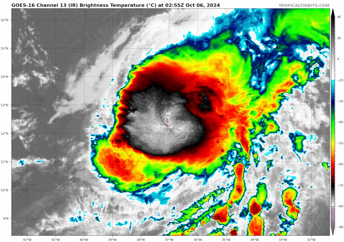
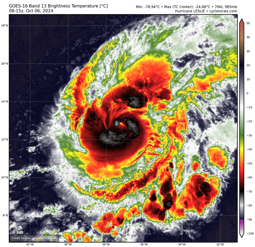
geostationary satellite images indicate an eye feature is trying to
emerge, with a warm spot in infrared imagery surrounded by a ring of
deep, cold convection. Based on these satellite trends, the initial
intensity is raised to 75 kt, in best agreement with T4.5 Dvorak
estimates from TAFB and SAB.
Some near-term intensity fluctuations are possible today, depending
on whether Leslie is able to fully clear out an eye this morning.
INIT 06/0900Z 12.9N 37.3W 75 KT 85 MPH
12H 06/1800Z 13.7N 38.4W 80 KT 90 MPH
24H 07/0600Z 14.9N 39.9W 75 KT 85 MPH
36H 07/1800Z 16.2N 41.5W 65 KT 75 MPH
48H 08/0600Z 17.5N 43.2W 55 KT 65 MPH
60H 08/1800Z 18.9N 45.0W 50 KT 60 MPH
72H 09/0600Z 20.2N 46.6W 50 KT 60 MPH
96H 10/0600Z 22.2N 49.1W 50 KT 60 MPH
120H 11/0600Z 24.0N 50.5W 50 KT 60 MPH
Right.. best looking 75 kt system I've ever seen. I'll say that much


