

MEANINGLESS_NUMBERS wrote:kevin wrote:Recon descending to operational altitude and about to enter Milton. Very curious what they will find, not only Milton's intensity but especially the status of the eye(wall).
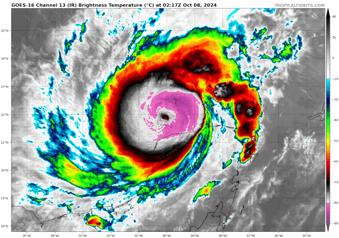
Satellite presentation continues to degrade. Can’t imagine they will find the re-strengthening that NHC predicted.
Not sure I agree with either your observation or conclusion. Maybe IR it's not as pretty as it looked yesterday, but if you look under-the-hood the structure is very sound still. Eye obscuration could be remnants from the original inner eyewall still holding on somewhere, or another structural evolution.

The HAFS called for this as far back as yesterday morning; an EWRC overnight into the morning, pressures and winds staying steady until about 00z where Milton begins intensifying for a secondary peak. It has done well so far.


