ATL: NADINE - Remnants - Discussion

Moderator: S2k Moderators

Message
Author
User avatar
TheEuropean
Professional-Met
Professional-Met
Posts: 1796
Age: 59
Joined: Tue Sep 20, 2005 3:17 pm
Location: Voerde, Germany
Contact:

Re: ATL: T.S . Nadine- Discussion

#21 Postby TheEuropean » Sat Oct 19, 2024 3:10 am

This is from yesterday. I think that would be a bit too late...

WEATHER RECONNAISSANCE FLIGHTS
CARCAH, NATIONAL HURRICANE CENTER, MIAMI, FL.
1115 AM EDT FRI 18 OCTOBER 2024
SUBJECT: TROPICAL CYCLONE PLAN OF THE DAY (TCPOD)
VALID 19/1100Z TO 20/1100Z OCTOBER 2024
TCPOD NUMBER.....24-140

I. ATLANTIC REQUIREMENTS
1. SUSPECT AREA (NORTHWEST CARIBBEAN - AL95)
FLIGHT ONE - TEAL 71
A. 19/1500Z
B. AFXXX 01IIA INVEST
C. 19/1200Z
D. 17.5N 87.5W
E. 19/1430Z TO 19/1930Z
F. SFC TO 10,000 FT
G. FIX
H. NO WRA ACTIVATION
0 likes   
The above post is not official and should not be used as such. It is the opinion of the poster and may or may not be backed by sound meteorological data. It is not endorsed by any professional institution or storm2k.org. For official information, please refer to the NHC and NWS products.

ChrisH-UK
Category 2
Category 2
Posts: 611
Joined: Sat May 29, 2021 8:22 am

Re: ATL: FIFTEEN - Potential Tropical Cyclone - Discussion

#22 Postby ChrisH-UK » Sat Oct 19, 2024 4:32 am

Here's the radar our of Belize - https://nms.gov.bz/sensors/radar-imagery/

Image
0 likes   

ChrisH-UK
Category 2
Category 2
Posts: 611
Joined: Sat May 29, 2021 8:22 am

Re: ATL: FIFTEEN - Potential Tropical Cyclone - Discussion

#23 Postby ChrisH-UK » Sat Oct 19, 2024 4:39 am

TS Nadine has blown up over night, it has a lot of convection and it looks like the center of rotation is much further north than the models have and given how it looks it could have implications like moving over into the Bay of Campeche and rapid intensification that often happens there.

Image
0 likes   

Sciencerocks
Category 5
Category 5
Posts: 8903
Age: 39
Joined: Thu Jul 06, 2017 1:51 am

Re: ATL: NADINE - Tropical Storm - Discussion

#24 Postby Sciencerocks » Sat Oct 19, 2024 6:29 am

Image
0 likes   

USTropics
Category 5
Category 5
Posts: 2635
Joined: Sun Aug 12, 2007 3:45 am
Location: Florida State University

Re: ATL: FIFTEEN - Potential Tropical Cyclone - Discussion

#25 Postby USTropics » Sat Oct 19, 2024 6:54 am

ChrisH-UK wrote:TS Nadine has blown up over night, it has a lot of convection and it looks like the center of rotation is much further north than the models have and given how it looks it could have implications like moving over into the Bay of Campeche and rapid intensification that often happens there.

[url]https://imagizer.imageshack.com/img924/640/fsGBic.gif [/url]


I don't anticipate this getting into the BOC, in fact there should be some southerly component to motion later today. The cold front that pushed down into the GOM has not only given us a 'false' fall here in Florida (it's going to warm back up, sorry guys) but behind it we have subsidence dump/high pressure extending all the way into the BOC:
Image

ECMWF ensembles:
Image
3 likes   

Sciencerocks
Category 5
Category 5
Posts: 8903
Age: 39
Joined: Thu Jul 06, 2017 1:51 am

Re: ATL: NADINE - Tropical Storm - Discussion

#26 Postby Sciencerocks » Sat Oct 19, 2024 7:30 am

0 likes   

User avatar
WaveBreaking
Category 2
Category 2
Posts: 562
Joined: Sun Jun 30, 2024 11:33 am
Location: US

Re: ATL: NADINE - Tropical Storm - Discussion

#27 Postby WaveBreaking » Sat Oct 19, 2024 8:07 am


Glad this was a Julia ‘22-type situation where it ran out of time to RI instead of something like ETA or Iota. But the flooding from this storm will probably be horrible regardless.
0 likes   
I am NOT a professional meteorologist, so take all of my posts with a grain of salt. My opinions are mine and mine alone.

User avatar
HurricaneAndre2008
Category 1
Category 1
Posts: 327
Age: 27
Joined: Wed Jul 31, 2019 9:51 pm
Contact:

Re: ATL: NADINE - Tropical Storm - Discussion

#28 Postby HurricaneAndre2008 » Sat Oct 19, 2024 8:45 am

Thinking this a 50 to 65mph storm right now.
2 likes   
Cindy(2005), Katrina(2005), Rita(2005), Erin(2007), Isaac(2012)

User avatar
HurricaneAndre2008
Category 1
Category 1
Posts: 327
Age: 27
Joined: Wed Jul 31, 2019 9:51 pm
Contact:

Re: ATL: NADINE - Tropical Storm - Discussion

#29 Postby HurricaneAndre2008 » Sat Oct 19, 2024 8:46 am

Current Intensity Analysis


UW - CIMSS
ADVANCED DVORAK TECHNIQUE
ADT-Version 9.1
Tropical Cyclone Intensity Algorithm

----- Current Analysis -----
Date : 19 OCT 2024 Time : 131020 UTC
Lat : 17:19:54 N Lon : 87:51:24 W


CI# /Pressure/ Vmax
3.4 / 991.0mb/ 53.0kt


Final T# Adj T# Raw T#
3.4 3.7 4.0
0 likes   
Cindy(2005), Katrina(2005), Rita(2005), Erin(2007), Isaac(2012)

Sciencerocks
Category 5
Category 5
Posts: 8903
Age: 39
Joined: Thu Jul 06, 2017 1:51 am

Re: ATL: NADINE - Tropical Storm - Discussion

#30 Postby Sciencerocks » Sat Oct 19, 2024 9:22 am

Image
1 likes   

Pasmorade
Tropical Storm
Tropical Storm
Posts: 137
Joined: Mon Jul 01, 2024 7:44 am
Location: Florida

Re: ATL: NADINE - Tropical Storm - Discussion

#31 Postby Pasmorade » Sat Oct 19, 2024 10:07 am

NWS National Hurricane Center Miami FL AL152024
1000 AM CDT Sat Oct 19 2024

Nadine is very close to making landfall in Belize, near Belize City.
The center is currently moving across the country's barrier islands
of Turneffe Atoll and landfall on the mainland will likely occur
within the next hour. The sprawling tropical storm continues to
slowly intensify, and a combination of objective and subjective
satellite intensity estimates support increasing the maximum winds
to 45 kt. Furthermore, radar data indicate that the structure of
Nadine has improved and there are curved bands surrounding the
center. The Air Force Hurricane Hunters are currently in the
northern portion of the storm, and they will likely reach the center
soon. A Tropical Cyclone Update will be provided when the storm
makes landfall.

The storm is moving due westward at 7 kt, and the system is expected
to continue accelerating in that direction during the next day or
so. This motion should take Nadine across Belize, northern
Guatemala, and southern Mexico later today through Sunday.

Nadine is expected to weaken after the core moves inland, and it
will likely dissipate over southern Mexico by late Sunday. The
remnants have a high chance of reforming in the eastern Pacific
basin during the early to middle part of next week.


Key Messages:

1. Localized areas of flash flooding are possible along the track
of Nadine across southern Mexico, northern Guatemala, and northern
Belize.

2. Tropical storm conditions are expected along portions of the
coasts of Belize and the Yucatan Peninsula of Mexico within the
warning area through this afternoon.


FORECAST POSITIONS AND MAX WINDS

INIT 19/1500Z 17.3N 87.9W 45 KT 50 MPH
12H 20/0000Z 17.3N 89.5W 30 KT 35 MPH...INLAND
24H 20/1200Z 16.8N 92.3W 30 KT 35 MPH...INLAND
36H 21/0000Z...DISSIPATED

$$
Forecaster Cangialosi/Torres-Vazquez
0 likes   

User avatar
cycloneye
Admin
Admin
Posts: 143863
Age: 68
Joined: Thu Oct 10, 2002 10:54 am
Location: San Juan, Puerto Rico

Re: ATL: NADINE - Tropical Storm - Discussion

#32 Postby cycloneye » Sat Oct 19, 2024 11:06 am

Tropical Storm Nadine Tropical Cyclone Update
NWS National Hurricane Center Miami FL AL152024
1100 AM CDT Sat Oct 19 2024

...NADINE MAKES LANDFALL IN BELIZE...

Satellite and radar images indicate that Nadine has made landfall
in Belize, near Belize City around 1100 am CDT (1600 UTC). The
maximum sustained winds are near 60 mph (95 km/h) based on data
from the Air Force Hurricane Hunters and surface observations.

A weather station in San Pedro in the southern Yucatan Peninsula
recently reported a sustained wind of 55 mph (89 km/h) and a gust
to 67 mph (107 km/h).

Tropical-storm-conditions are expected across Belize and the Yucatan
Peninsula through the afternoon.

SUMMARY OF 1100 AM CDT...1600 UTC...INFORMATION
-----------------------------------------------
LOCATION...17.4N 88.3W
ABOUT 10 MI...15 KM SW OF BELIZE CITY
ABOUT 75 MI...120 KM S OF CHETUMAL MEXICO
MAXIMUM SUSTAINED WINDS...60 MPH...95 KM/H
PRESENT MOVEMENT...W OR 270 DEGREES AT 8 MPH...13 KM/H
MINIMUM CENTRAL PRESSURE...1002 MB...29.59 INCHES

$$
Forecaster Cangialosi/Torres-Vazquez/Delgado
1 likes   
Visit the Caribbean-Central America Weather Thread where you can find at first post web cams,radars
and observations from Caribbean basin members Click Here

User avatar
cycloneye
Admin
Admin
Posts: 143863
Age: 68
Joined: Thu Oct 10, 2002 10:54 am
Location: San Juan, Puerto Rico

Re: ATL: NADINE - Tropical Storm - Discussion: Made landfall in Belize at 50kt.

#33 Postby cycloneye » Sat Oct 19, 2024 11:13 am

Anyone agrees that if Nadine would have more time in the water, it would be a hurricane? I say yes.
7 likes   
Visit the Caribbean-Central America Weather Thread where you can find at first post web cams,radars
and observations from Caribbean basin members Click Here

User avatar
Teban54
Category 5
Category 5
Posts: 3168
Joined: Sat May 19, 2018 1:19 pm

Re: ATL: NADINE - Tropical Storm - Discussion: Made landfall in Belize at 50kt.

#34 Postby Teban54 » Sat Oct 19, 2024 11:38 am

cycloneye wrote:Anyone agrees that if Nadine would have more time in the water, it would be a hurricane? I say yes.

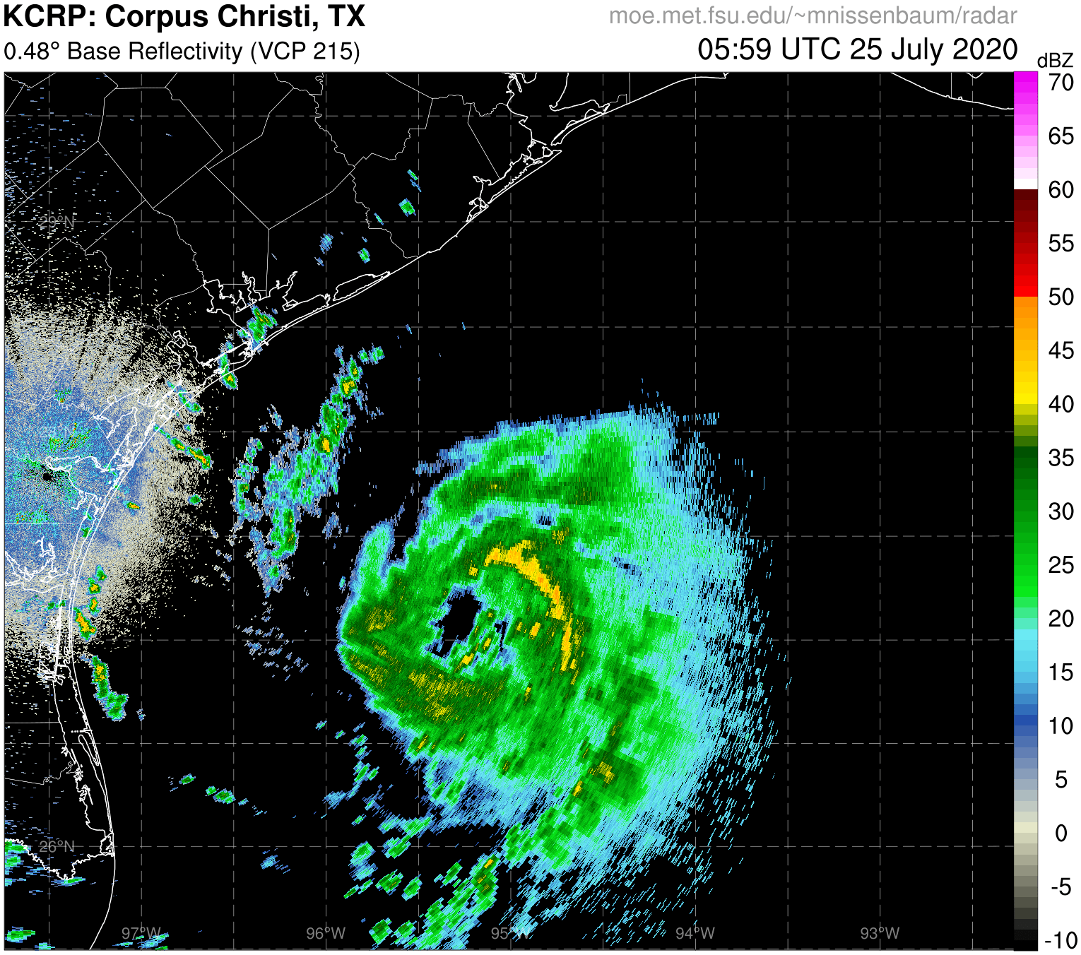
Looks like a weaker version of Gamma 2020, as Nadine had even less time than Gamma did. The jump to 50 kt at landfall out of nowhere in such a short span of time is still very impressive, though.
1 likes   

User avatar
wwizard
Tropical Depression
Tropical Depression
Posts: 57
Joined: Tue Oct 27, 2020 11:28 pm
Location: TEXAS

Re: ATL: NADINE - Tropical Storm - Discussion: Made landfall in Belize at 50kt.

#35 Postby wwizard » Sat Oct 19, 2024 12:03 pm

cycloneye wrote:Anyone agrees that if Nadine would have more time in the water, it would be a hurricane? I say yes.


No doubt. The way it shot up to 60mph before landfall, and then there’s the chance Oscar might be a hurricane already, once the engines to these systems finally get put together, the jet fuel warm waters are making these storms blow up.
1 likes   
Alicia, Allison, Ike, Harvey, Beryl

User avatar
galaxy401
Category 5
Category 5
Posts: 2410
Age: 29
Joined: Sat Aug 25, 2012 9:04 pm
Location: Casa Grande, Arizona

Re: ATL: NADINE - Tropical Storm - Discussion

#36 Postby galaxy401 » Sat Oct 19, 2024 12:52 pm

Nadine came and went unlike her 2012 counterpart. These weaker storms usually organize right at landfall probably due to the friction tightening the systems up.
4 likes   
Got my eyes on moving right into Hurricane Alley: Florida.

User avatar
AnnularCane
S2K Supporter
S2K Supporter
Posts: 2836
Joined: Thu Jun 08, 2006 9:18 am
Location: Wytheville, VA

Re: ATL: NADINE - Tropical Storm - Discussion

#37 Postby AnnularCane » Sat Oct 19, 2024 4:56 pm

She's still looking pretty healthy considering she's been inland for hours.
1 likes   
"But it never rained rain. It never snowed snow. And it never blew just wind. It rained things like soup and juice. It snowed mashed potatoes and green peas. And sometimes the wind blew in storms of hamburgers." -- Judi Barrett, Cloudy with a Chance of Meatballs

CrazyC83
Professional-Met
Professional-Met
Posts: 34001
Joined: Tue Mar 07, 2006 11:57 pm
Location: Deep South, for the first time!

Re: ATL: NADINE - Tropical Depression - Discussion

#38 Postby CrazyC83 » Sat Oct 19, 2024 9:47 pm

Any chance that this could survive intact into the EPAC? I know it is 80% for development once there.
0 likes   

MEANINGLESS_NUMBERS
Category 1
Category 1
Posts: 325
Joined: Mon Nov 02, 2020 1:43 pm

Re: ATL: NADINE - Tropical Depression - Discussion

#39 Postby MEANINGLESS_NUMBERS » Sun Oct 20, 2024 5:49 am

Final forecast point is back over water in the EPac; looks like we’ll have a basin-crosser:

Image
1 likes   
Emily '87, Felix '95, Gert '99, Fabian '03, Humberto '19, Paulette '20, Teddy '20, Fiona '22, Lee '23, Ernesto '24

User avatar
Ptarmigan
Category 5
Category 5
Posts: 5313
Joined: Wed Aug 16, 2006 9:06 pm

Re: ATL: NADINE - Tropical Storm - Discussion: Made landfall in Belize at 50kt.

#40 Postby Ptarmigan » Sun Oct 20, 2024 8:51 am

cycloneye wrote:Anyone agrees that if Nadine would have more time in the water, it would be a hurricane? I say yes.


I think if Nadine had been over water longer, it would of been a hurricane. The satellite presentations show a more circular pattern.
1 likes   


Return to “2024”

Who is online

Users browsing this forum: No registered users and 8 guests