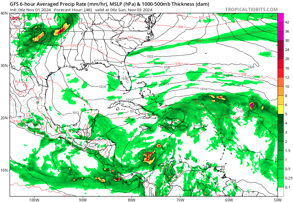
Southwestern Caribbean Sea:
A broad area of low pressure is likely to develop over the
southwestern Caribbean Sea during the next day or so. Gradual
development is possible thereafter, and a tropical depression could
form over the weekend or early next week while the system drifts
generally northward or northwestward over the central or western
Caribbean Sea. Regardless of development, locally heavy rains are
possible over portions of the adjacent land areas of the western
Caribbean.
* Formation chance through 48 hours...low...10 percent.
* Formation chance through 7 days...medium...60 percent.