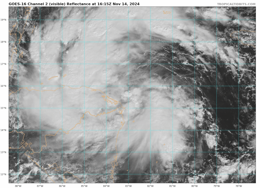
Sanibel wrote:Could be trouble for Ambergris Cay...
Hopefully NOT a destination wedding spot that was chosen in advance for this particular weekend! Best case scenario for the residents there will still mean miserable, blustery & soaking weather conditions