Texas Snow wrote:Ntxw wrote:at the end of the day it is just weather.
How dare you
Right? I'm offended

Moderator: S2k Moderators
 The posts in this forum are NOT official forecast and should not be used as such. They are just the opinion of the poster and may or may not be backed by sound meteorological data. They are NOT endorsed by any professional institution or STORM2K.

Texas Snow wrote:Ntxw wrote:at the end of the day it is just weather.
How dare you


cheezyWXguy wrote:0z HRRR 2m temps at 0z Thu are 5-6 degrees colder than the gfs, 4-5 degrees colder than the icon, and 2-3 degrees colder than the euro.


txtwister78 wrote:cheezyWXguy wrote:0z HRRR 2m temps at 0z Thu are 5-6 degrees colder than the gfs, 4-5 degrees colder than the icon, and 2-3 degrees colder than the euro.
This is the bigger trend you want to watch really. 850 temps HRRR vs GFS at 6pm Wednesday evening. Surface temps not really as critical for this particular event other than where freezing rain may be an issue. Still no precipitation on the HRRR at this range which you sort of want to start seeing soon show up if this is going to go more snow across areas further north.
https://images.weatherbell.com/model/gfs-deterministic/tx/t850/1736186400/1736380800-CuwGoqM4KBU.png
https://images.weatherbell.com/model/hrrr/tx/t850/1736208000/1736380800-PYrELIoEJuc.png

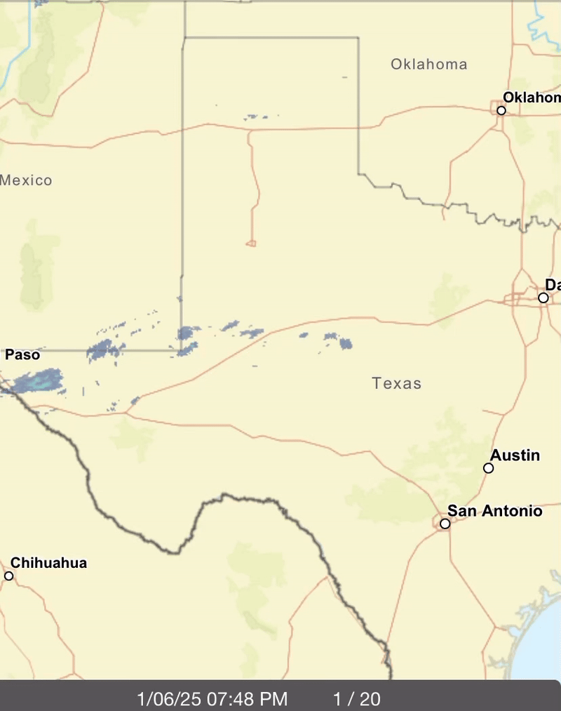
TropicalTundra wrote:Not on other radars yet but on NWS Radar there are slight bands of some sort of precip slightly SW of Abilene and NNE of Midland.


bubba hotep wrote:DFW getting NAM'ed!
https://m1o.pivotalweather.com/maps/models/nam/2025010700/078/sn10_acc-imp.us_sc.png
bubba hotep wrote:Also, a crippling ice storm
https://m1o.pivotalweather.com/maps/models/nam/2025010700/084/zr_acc-imp.us_sc.png


Texas Snow wrote:850 freezing line on ICON Thursday moves NW from its 18z. I may go to bed and try again tomorrow with hi res.
Users browsing this forum: No registered users and 41 guests


