
This station waaay southeast Louisiana near the mouth of the Mississippi river had a 33-40knot sustained winds for a bit with a 50kt gusts and a few, probably the highest I've seen for 93
https://www.ndbc.noaa.gov/station_page. ... tion=pstl1
ATL: INVEST 93L - Discussion
Moderator: S2k Moderators
Re: ATL: INVEST 93L - Discussion
3 likes
-
cycloneye

- Admin

- Posts: 149721
- Age: 69
- Joined: Thu Oct 10, 2002 10:54 am
- Location: San Juan, Puerto Rico
Re: ATL: INVEST 93L - Discussion
Tropical Weather Outlook
NWS National Hurricane Center Miami FL
800 PM EDT Thu Jul 17 2025
For the North Atlantic...Caribbean Sea and the Gulf of America:
Southeastern Louisiana (AL93):
Satellite, surface, and radar data indicate that the broad low
pressure area that had been moving westward along the northern Gulf
coast is now centered over southeastern Louisiana. This system is
forecast to move farther inland tonight and on Friday, and
development is therefore not expected. Nonetheless, heavy rainfall
could still produce localized flash flooding over portions of the
north-central Gulf Coast through Friday.
This will be the last update on this system from the National
Hurricane Center. For additional information on the ongoing
potential for heavy rainfall and flooding, please refer to products
issued by the Weather Prediction Center and your local National
Weather Service office.
* Formation chance through 48 hours...low...near 0 percent.
* Formation chance through 7 days...low...near 0 percent.
$$
Forecaster Berg
0 likes
Visit the Caribbean-Central America Weather Thread where you can find at first post web cams,radars
and observations from Caribbean basin members Click Here
and observations from Caribbean basin members Click Here
Re: ATL: INVEST 93L - Discussion
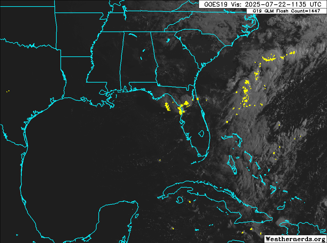
The former 93L is going to bring quite a bit of rain to Florida again tonight/tomorrow (you can follow 93L's old area to the NE of Florida in the 850 vorticity charts all the way here). Models (GFS/Euro/CMC and Icon) are showing it getting all the way to Texas this time, but not developing.
0 likes

Re: ATL: INVEST 93L - Discussion
This thread continues on in https://www.storm2k.org/phpbb2/viewtopi ... 1&t=124798
--
Last visible loop of the day on the area and a radar image
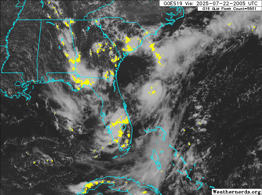

Maybe the area due east of Daytona?
--
Last visible loop of the day on the area and a radar image
Maybe the area due east of Daytona?
0 likes
Who is online
Users browsing this forum: No registered users and 86 guests