Moderator: S2k Moderators
MGC wrote:Getting close to being named. Still looks to be attached to the front though.....MGC


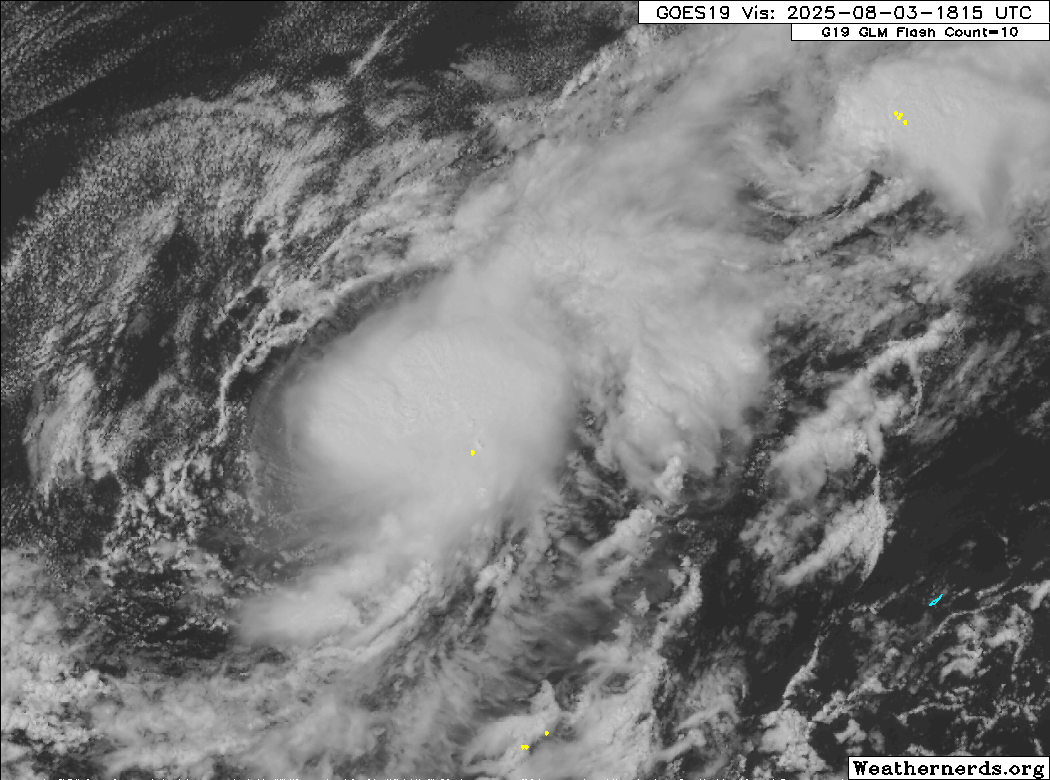
Sciencerocks wrote:I'll just say that a duck is a duck and a chicken is a chicken. And frankly this is what it is. Sure it won't effect land but that doesn't change the reality that it is a closed LLC with sustained convection for the past 12+ hours with tropical storm force winds.
Sciencerocks wrote:I'll just say that a duck is a duck and a chicken is a chicken. And frankly it is what it is. Sure it won't effect land but that doesn't change the reality that it has a closed LLC with sustained convection for the past 12+ hours with tropical storm force winds.
Of course it is up to the nhc to make the move but one is allowed to hold such opinions.

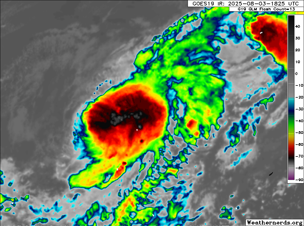
zzzh wrote:AL, 04, 2025080400, , BEST, 0, 340N, 699W, 35, 1006, TS, 34, NEQ, 0, 40, 0, 0, 1014, 150, 40, 0, 0, L, 0, , 0, 0, DEXTER, M, 0, , 0, 0, 0, 0, genesis-num, 012, TRANSITIONED, alA52025 to al042025,
BobHarlem wrote:zzzh wrote:AL, 04, 2025080400, , BEST, 0, 340N, 699W, 35, 1006, TS, 34, NEQ, 0, 40, 0, 0, 1014, 150, 40, 0, 0, L, 0, , 0, 0, DEXTER, M, 0, , 0, 0, 0, 0, genesis-num, 012, TRANSITIONED, alA52025 to al042025,
I'm not seeing that on https://ftp.nhc.noaa.gov/atcf/btk/?C=M;O=D ? where did you get that one


Users browsing this forum: No registered users and 36 guests


