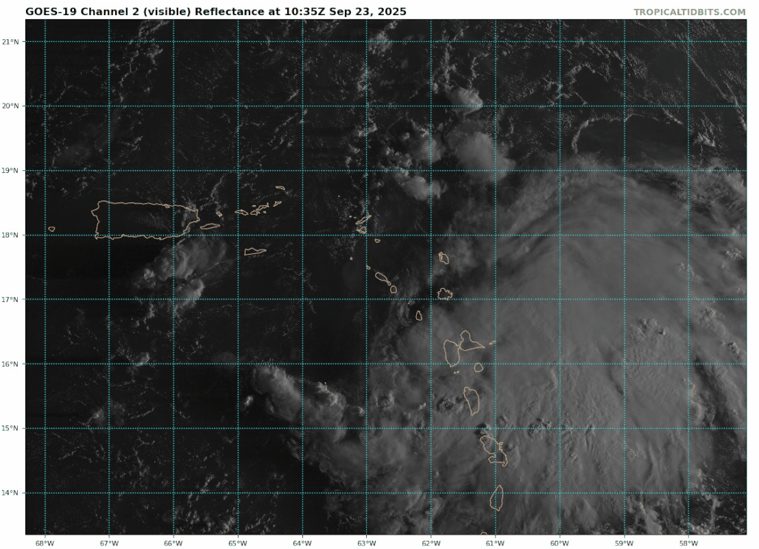
AL, 94, 2025092306, , BEST, 0, 172N, 607W, 25, 1010, DB, 34, NEQ, 0, 0, 0, 0, 1012, 180, 150, 0, 0, L, 0, , 0, 0, INVEST, S, 0, , 0, 0, 0, 0, genesis-num, 024, SPAWNINVEST, al752025 to al942025,
https://ftp.nhc.noaa.gov/atcf/btk/bal942025.dat