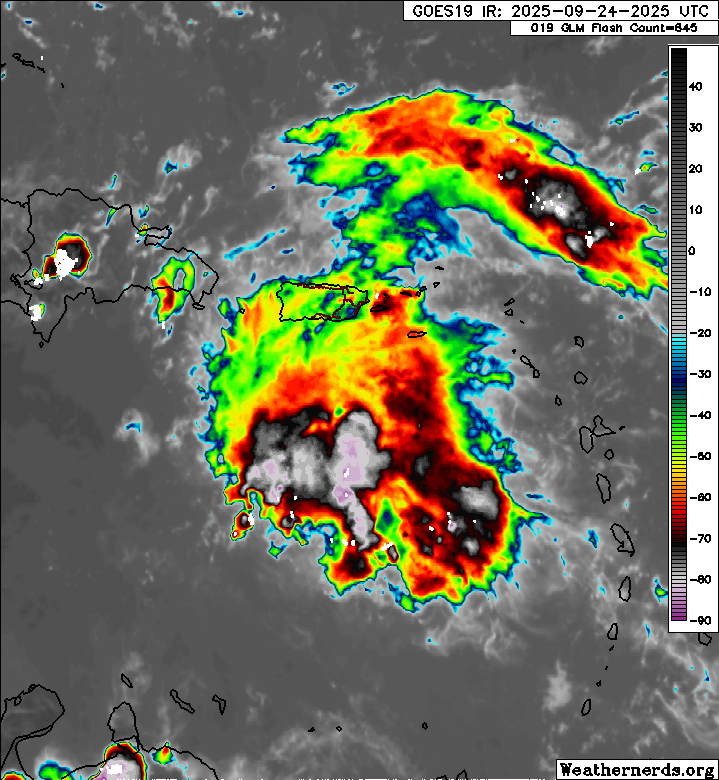
chaser1 wrote:Boy, the upper level winds are ripping! Given it's overall appearance, upper level conditions, near term land interaction, and GFS suggesting that 94L will become absorbed by 93L.... I'd reconsider the odds for development to be "a generous" 10/50.
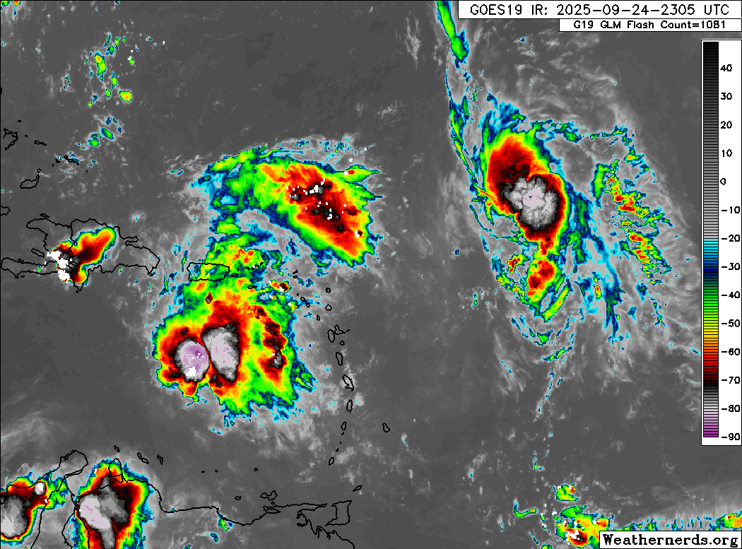
Keep in mind this not expected to develop until at least this weekend and the nhc only has it at a 30% for the next couple days. This could bust completely but the gfs has so far been on island in showing absolutely no development at all. With that said, it looks like 94l should be the dominant system.