
NATL: IMELDA - Post-Tropical - Discussion
Moderator: S2k Moderators
-
tolakram
- Admin

- Posts: 20179
- Age: 62
- Joined: Sun Aug 27, 2006 8:23 pm
- Location: Florence, KY (name is Mark)
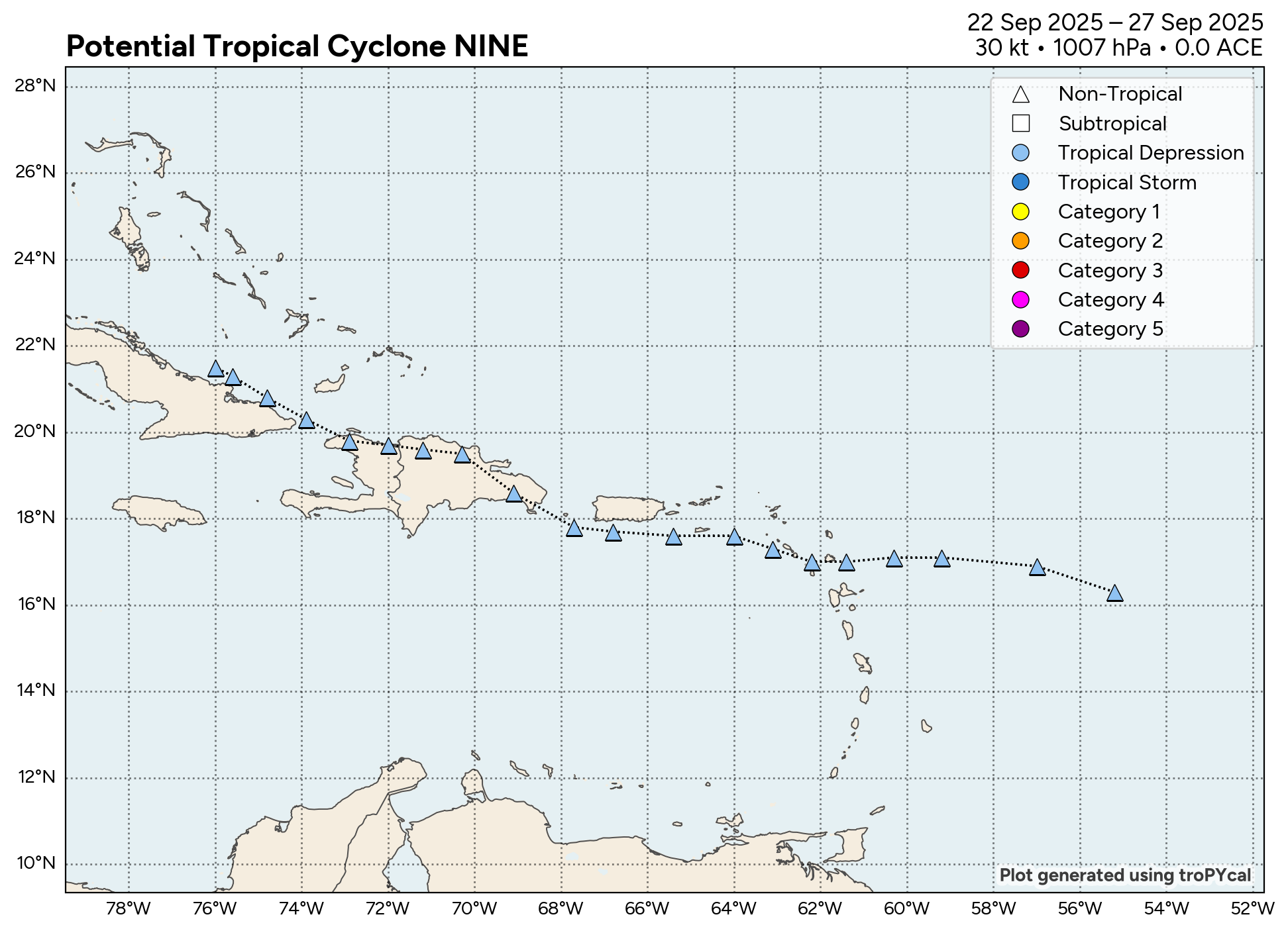
Re: NATL: NINE - Tropical Depression - Discussion
0 likes
M a r k
- - - - -
Join us in chat: Storm2K Chatroom Invite. Android and IOS apps also available.
The posts in this forum are NOT official forecasts and should not be used as such. Posts are NOT endorsed by any professional institution or STORM2K.org. For official information and forecasts, please refer to NHC and NWS products.
-
wxman57

- Moderator-Pro Met

- Posts: 23172
- Age: 68
- Joined: Sat Jun 21, 2003 8:06 pm
- Location: Houston, TX (southwest)
Re: NATL: NINE - Tropical Depression - Discussion
boca wrote:GCANE wrote:Afternoon popups already firing across Florida.
Will reduce shear ahead of the storm.
Gcane do you see 9 moving more west towards S Florida than the forecast shows?
I see no indication of a track farther west toward Florida. It's running into the SSW flow aloft now.
2 likes
-
Coolcruiseman
- Tropical Depression

- Posts: 97
- Age: 51
- Joined: Wed Sep 21, 2022 8:10 pm
- Location: Melbourne, FL
Re: NATL: NINE - Tropical Depression - Discussion
Weathertracker96 wrote:skillz305 wrote:I am officially in a tropical storm watch here in Vero Beach, FL
I’m Vero beach myself. Been watching this as these systems are unpredictable.
Suspected I’d be under a watch here in Melbourne at some point with unpredictability and all the factors in play with this one.
0 likes


Re: NATL: NINE - Tropical Depression - Discussion
boca wrote:GCANE wrote:Afternoon popups already firing across Florida.
Will reduce shear ahead of the storm.
Gcane do you see 9 moving more west towards S Florida than the forecast shows?
Maybe 50/50
Watching that front closely in the GOM, and somewhat Humberto as well.
This will be a last minute thing if it makes landfall.
Are you in Florida?
1 likes
Re: NATL: NINE - Tropical Depression - Discussion
AF303 is running at 850mb altitude.
Hard time fixing a center.
Maybe TD9 is going more west than thought.
Hard time fixing a center.
Maybe TD9 is going more west than thought.
1 likes
-
skillz305
- Category 1

- Posts: 312
- Joined: Sat Sep 08, 2018 11:10 am
- Location: Miami, Florida --> Vero Beach, Florida
Re: NATL: NINE - Tropical Depression - Discussion
GCANE wrote:boca wrote:GCANE wrote:Afternoon popups already firing across Florida.
Will reduce shear ahead of the storm.
Gcane do you see 9 moving more west towards S Florida than the forecast shows?
Maybe 50/50
Watching that front closely in the GOM, and somewhat Humberto as well.
This will be a last minute thing if it makes landfall.
Are you in Florida?
Yes, us on east coast Florida, south and Central are glued to this system. We know how the uncertainty goes. We also like to ask questions to individuals, which do great work on here, their expert opinions on stuff we can’t grasp. We are all on different levels of knowledge. Thanks for all your info you put out. You actually gave us the heads up on tornadic activity from Hurricane Milton last year (I’m not too far from the devastating tornados that landed in central Florida)
0 likes
 Hurricanes: Andrew 1992 - Irene 1999 - Frances 2004 - Jeanne 2004 - Katrina 2005 - Wilma 2005 - Matthew 2016 - Irma 2017 - Ian 2022 - Nicole 2022 - Milton 2024
Re: NATL: NINE - Tropical Depression - Discussion
Just lit up a 7" cigar.
Going to watching and scratching my head for sometime.
Going to watching and scratching my head for sometime.
3 likes
-
floridasun
- Tropical Storm

- Posts: 245
- Joined: Tue Sep 14, 2021 3:59 pm
Re: NATL: NINE - Tropical Depression - Discussion
storm tracker issue by nhc have it se of Andros island getting close south of island if do mean moving wnw to west we see what hurricane hunter show
1 likes
Re: NATL: NINE - Tropical Depression - Discussion
skillz305 wrote:GCANE wrote:boca wrote:
Gcane do you see 9 moving more west towards S Florida than the forecast shows?
Maybe 50/50
Watching that front closely in the GOM, and somewhat Humberto as well.
This will be a last minute thing if it makes landfall.
Are you in Florida?
Yes, us on east coast Florida, south and Central are glued to this system. We know how the uncertainty goes. We also like to ask questions to individuals, which do great work on here, their expert opinions on stuff we can’t grasp. We are all on different levels of knowledge. Thanks for all your info you put out. You actually gave us the heads up on tornadic activity from Hurricane Milton last year (I’m not too far from the devastating tornados that landed in central Florida)
Stay safe my friend.
I'll keep the posts going.
My wife is in Europe and I got plenty of cigars.
Pizza is a few minutes away.
6 likes
Re: NATL: NINE - Tropical Depression - Discussion
4500 CAPE in the Bahamas
5500 CAPE over the Gulf Stream
5500 CAPE over the Gulf Stream
2 likes
-
floridasun
- Tropical Storm
- Posts: 245
- Joined: Tue Sep 14, 2021 3:59 pm
Re: NATL: NINE - Tropical Depression - Discussion
https://www.polarwx.com/tropical/data/r ... /track.png this show nhc have td 9 at
0 likes
Re: NATL: NINE - Tropical Depression - Discussion
That faint tail in the GOM is digging deeper,
Not sure what to make of the big PV Streamer west of Humberto
https://tropic.ssec.wisc.edu/real-time/ ... g8vor1.GIF
Not sure what to make of the big PV Streamer west of Humberto
https://tropic.ssec.wisc.edu/real-time/ ... g8vor1.GIF
1 likes
-
floridasun
- Tropical Storm
- Posts: 245
- Joined: Tue Sep 14, 2021 3:59 pm
Re: NATL: NINE - Tropical Depression - Discussion
what that old front over florida suppose pull td9 out to sea?GCANE wrote:That faint tail in the GOM is digging deeper,
Not sure what to make of the big PV Streamer west of Humberto
https://tropic.ssec.wisc.edu/real-time/ ... g8vor1.GIF
0 likes
-
tolakram
- Admin
- Posts: 20179
- Age: 62
- Joined: Sun Aug 27, 2006 8:23 pm
- Location: Florence, KY (name is Mark)
Re: NATL: NINE - Tropical Depression - Discussion
3 likes
M a r k
- - - - -
Join us in chat: Storm2K Chatroom Invite. Android and IOS apps also available.
The posts in this forum are NOT official forecasts and should not be used as such. Posts are NOT endorsed by any professional institution or STORM2K.org. For official information and forecasts, please refer to NHC and NWS products.
- - - - -
Join us in chat: Storm2K Chatroom Invite. Android and IOS apps also available.
The posts in this forum are NOT official forecasts and should not be used as such. Posts are NOT endorsed by any professional institution or STORM2K.org. For official information and forecasts, please refer to NHC and NWS products.
Re: NATL: NINE - Tropical Depression - Discussion
floridasun wrote:what that old front over florida suppose pull td9 out to sea?GCANE wrote:That faint tail in the GOM is digging deeper,
Not sure what to make of the big PV Streamer west of Humberto
https://tropic.ssec.wisc.edu/real-time/ ... g8vor1.GIF
Its history.
Main driver is the trof in the GoM and somewhat Humberto
1 likes
Re: NATL: NINE - Tropical Depression - Discussion
Recon is finding a really pathetic closed low, if in fact there is one.
No really significant hot towers to light this,
This going to keep moving slowly along the coast of Cuba
Archer hasn't come up yet to compare against the forecast track.
When that comes up, we'll see where we are at.
No really significant hot towers to light this,
This going to keep moving slowly along the coast of Cuba
Archer hasn't come up yet to compare against the forecast track.
When that comes up, we'll see where we are at.
1 likes
Re: NATL: NINE - Tropical Depression - Discussion
That trof is digging way deeper into the BoC and air is drying out more.
https://weather.cod.edu/satrad/?parms=r ... =undefined
https://weather.cod.edu/satrad/?parms=r ... =undefined
1 likes
-
TomballEd
- Category 5

- Posts: 1267
- Age: 62
- Joined: Wed Aug 16, 2023 4:52 pm
- Location: Spring/Klein area, not Tomball
Re: NATL: NINE - Tropical Depression - Discussion
GCANE wrote:AF303 is running at 850mb altitude.
Hard time fixing a center.
Maybe TD9 is going more west than thought.
A lot of this is absorbed knowledge from the board and the Cowan videos. The delay turning N is increasing the odds Humberto gets past its latitude and as the much stronger system will increase the odds of being slung out to see. Ensembles seem to be showing this, I guesstimated 85% OTS. I think the watch is an abundance of caution and since the lack of a defined center reduces predictability, I have no issues. Normally farther W increases the risk of a landfall but in this case it increases the chance of being hooked. I do think EC Florida now has a better chance, even if slight, of TS conditions on the beaches than the Carolinas. When I say that, I am reminded of the old S2K boilerplate no longer required, but good to remember, I'm an amateur and do what the professionals tell you to do. Better safe than sorry.
Imgur isn't working for me, I may come edit a satellite loop of how disorganized the TD is.
0 likes

Re: NATL: NINE - Tropical Depression - Discussion
Watch Levi's video he explained the different model scenarios very well.
If dry air doesn't undercut the circulation the Fujiwara effect will determine the stall outcome.

If dry air doesn't undercut the circulation the Fujiwara effect will determine the stall outcome.
0 likes
-
ObsessedMiami

- Category 1
- Posts: 432
- Joined: Tue Aug 31, 2004 8:08 pm
- Location: West Kendall, Fl
Re: NATL: NINE - Tropical Depression - Discussion
Any chance TS watches will be moved father south along the SE Florida coast?
0 likes
Who is online
Users browsing this forum: No registered users and 16 guests