2. Southwestern Atlantic:
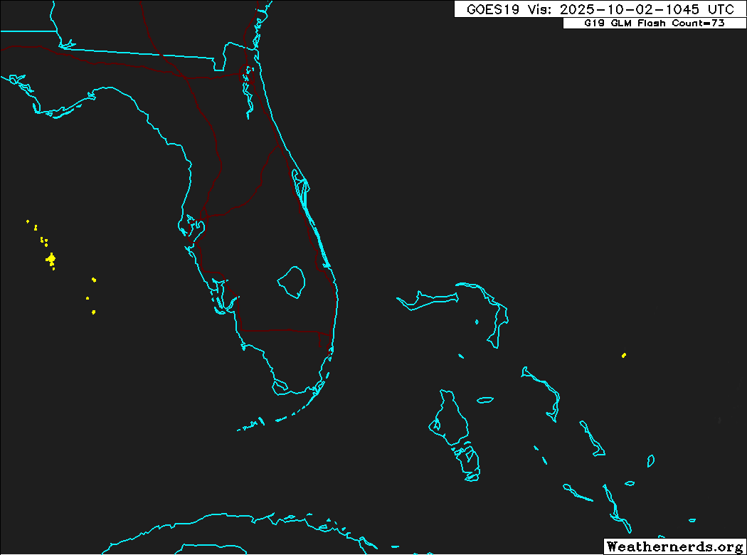
An area of low pressure may form near the northwestern Bahamas and
southern Florida by Saturday. Any additional development is
expected to be slow to occur as the system moves northwestward
across the Florida Peninsula into the Gulf of America.
* Formation chance through 48 hours...low...10 percent.
* Formation chance through 7 days...low...10 percent.