

Josh, book the flight
NATL: JERRY - Remnants - Discussion
Moderator: S2k Moderators
Re: NATL: JERRY - Tropical Storm - Discussion
1 likes
Andy D
(For official information, please refer to the NHC and NWS products.)
(For official information, please refer to the NHC and NWS products.)

Re: NATL: JERRY - Tropical Storm - Discussion
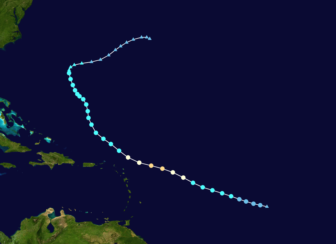
Teban54 wrote:Jerry 2025's projected track and intensity (officially) are both eerily similar to the last Jerry, in 2019.
This is not the first time that it happened this season: Humberto 2025 also had similarities in track with Humberto 2019, but it eventually overperformed by 2 categories. Will Jerry do the same?
https://i.postimg.cc/Tw448tqF/Jerry-2019-path.png
Would be really funny if Jerry somehow becomes the third non-landfalling Cat 5 of the season.
Only 10 named storms with a completely dead first half of September, yet about one-third of them become Cat 5s.
2 likes
Irene '11 Sandy '12 Hermine '16 5/15/2018 Derecho Fay '20 Isaias '20 Elsa '21 Henri '21 Ida '21
I am only a meteorology enthusiast who knows a decent amount about tropical cyclones. Look to the professional mets, the NHC, or your local weather office for the best information.
I am only a meteorology enthusiast who knows a decent amount about tropical cyclones. Look to the professional mets, the NHC, or your local weather office for the best information.

Re: NATL: JERRY - Tropical Storm - Discussion
aspen wrote:Teban54 wrote:Jerry 2025's projected track and intensity (officially) are both eerily similar to the last Jerry, in 2019.
This is not the first time that it happened this season: Humberto 2025 also had similarities in track with Humberto 2019, but it eventually overperformed by 2 categories. Will Jerry do the same?
https://i.postimg.cc/Tw448tqF/Jerry-2019-path.png
Would be really funny if Jerry somehow becomes the third non-landfalling Cat 5 of the season.
Only 10 named storms with a completely dead first half of September, yet about one-third of them become Cat 5s.
Even just hitting Cat 3 would give the season a completely bizarre ratio of 10/5/4.
2 likes
TC naming lists: retirements and intensity
Most aggressive Advisory #1's in North Atlantic (cr. kevin for starting the list)
Most aggressive Advisory #1's in North Atlantic (cr. kevin for starting the list)
Re: NATL: JERRY - Tropical Storm - Discussion
Teban54 wrote:aspen wrote:Teban54 wrote:Jerry 2025's projected track and intensity (officially) are both eerily similar to the last Jerry, in 2019.
This is not the first time that it happened this season: Humberto 2025 also had similarities in track with Humberto 2019, but it eventually overperformed by 2 categories. Will Jerry do the same?
https://i.postimg.cc/Tw448tqF/Jerry-2019-path.png
Would be really funny if Jerry somehow becomes the third non-landfalling Cat 5 of the season.
Only 10 named storms with a completely dead first half of September, yet about one-third of them become Cat 5s.
Even just hitting Cat 3 would give the season a completely bizarre ratio of 10/5/4.
And probably around 110-115 ACE too. That’s higher than 2022 despite 4 less storms.
1 likes
Irene '11 Sandy '12 Hermine '16 5/15/2018 Derecho Fay '20 Isaias '20 Elsa '21 Henri '21 Ida '21
I am only a meteorology enthusiast who knows a decent amount about tropical cyclones. Look to the professional mets, the NHC, or your local weather office for the best information.
I am only a meteorology enthusiast who knows a decent amount about tropical cyclones. Look to the professional mets, the NHC, or your local weather office for the best information.
Re: NATL: JERRY - Tropical Storm - Discussion
Conditions seem to be working in its favor but I would think Jerry's large size might be its biggest obstacle for achieving RI in the nearer term especially as it's inner core is still becoming better developed. I could see it making a run at MH but another Cat 5 would be something!
1 likes
Andy D
(For official information, please refer to the NHC and NWS products.)
(For official information, please refer to the NHC and NWS products.)
-
MEANINGLESS_NUMBERS
- Category 2

- Posts: 502
- Joined: Mon Nov 02, 2020 1:43 pm
Re: NATL: JERRY - Tropical Storm - Discussion
Teban54 wrote:aspen wrote:Teban54 wrote:Jerry 2025's projected track and intensity (officially) are both eerily similar to the last Jerry, in 2019.
This is not the first time that it happened this season: Humberto 2025 also had similarities in track with Humberto 2019, but it eventually overperformed by 2 categories. Will Jerry do the same?
https://i.postimg.cc/Tw448tqF/Jerry-2019-path.png
Would be really funny if Jerry somehow becomes the third non-landfalling Cat 5 of the season.
Only 10 named storms with a completely dead first half of September, yet about one-third of them become Cat 5s.
Even just hitting Cat 3 would give the season a completely bizarre ratio of 10/5/4.
And the only non-major hurricane has a shot at the post-season upgrade.
0 likes
Emily '87, Felix '95, Gert '99, Fabian '03, Humberto '19, Paulette '20, Teddy '20, Fiona '22, Lee '23, Ernesto '24, Humberto/Imelda '25
-
MarioProtVI
- Category 5

- Posts: 1032
- Age: 24
- Joined: Sun Sep 29, 2019 7:33 pm
- Location: New Jersey
Re: NATL: JERRY - Tropical Storm - Discussion
https://x.com/andyhazelton/status/1975594210494750920
Speed shear from the intensifying trades in the MDR might be an issue for Jerry the NHC kind of glossed over so I would be very wary of high expectations for Jerry. A hurricane is still likely but probably not until maybe Thursday night/Friday. Just not a major - at least not unto the subtropics but chances of that there are still low IMO.
Speed shear from the intensifying trades in the MDR might be an issue for Jerry the NHC kind of glossed over so I would be very wary of high expectations for Jerry. A hurricane is still likely but probably not until maybe Thursday night/Friday. Just not a major - at least not unto the subtropics but chances of that there are still low IMO.
0 likes
-
cycloneye

- Admin

- Posts: 148831
- Age: 69
- Joined: Thu Oct 10, 2002 10:54 am
- Location: San Juan, Puerto Rico
Re: NATL: JERRY - Tropical Storm - Discussion
Up to 50 mph.
AL, 10, 2025100718, , BEST, 0, 118N, 454W, 45, 1003, TS
3 likes
Visit the Caribbean-Central America Weather Thread where you can find at first post web cams,radars
and observations from Caribbean basin members Click Here
and observations from Caribbean basin members Click Here
Re: NATL: JERRY - Tropical Storm - Discussion
MarioProtVI wrote: https://x.com/andyhazelton/status/1975594210494750920
Speed shear from the intensifying trades in the MDR might be an issue for Jerry the NHC kind of glossed over so I would be very wary of high expectations for Jerry. A hurricane is still likely but probably not until maybe Thursday night/Friday. Just not a major - at least not unto the subtropics but chances of that there are still low IMO.
I can see the center outrunning the convective shield a bit on visible.
The HWRF has been showing Jerry to eventually align itself within the next 24-36 hours. While the HWRF has a historical bias of over-intensifying systems in this region within strong trades, it’s done a good job with Jerry’s rapid genesis and general convective structure over the last 1-2 days, so it’s worth keeping an eye on.
2 likes
Irene '11 Sandy '12 Hermine '16 5/15/2018 Derecho Fay '20 Isaias '20 Elsa '21 Henri '21 Ida '21
I am only a meteorology enthusiast who knows a decent amount about tropical cyclones. Look to the professional mets, the NHC, or your local weather office for the best information.
I am only a meteorology enthusiast who knows a decent amount about tropical cyclones. Look to the professional mets, the NHC, or your local weather office for the best information.
-
AJC3

- Admin
- Posts: 4152
- Age: 62
- Joined: Tue Aug 31, 2004 7:04 pm
- Location: Ballston Spa, New York
- Contact:
Re: NATL: JERRY - Tropical Storm - Discussion
zzzh wrote:zzzh wrote:https://i.imgur.com/FT9itG4.png
ASCAT does not show a closed circulation
https://i.imgur.com/w3UY82f.png
A more detailed version.
For the record, here's the stitched METOP-B/C passes from that time. Still looked like an open wave with a cusp that was just about there, although there are a few WNW winds on the SW side. Any closed LLC at that time would have been tiny.

2 likes
-
cycloneye
- Admin
- Posts: 148831
- Age: 69
- Joined: Thu Oct 10, 2002 10:54 am
- Location: San Juan, Puerto Rico
Re: NATL: JERRY - Tropical Storm - Discussion: TS Watch issued for Northern Leewards
Msbee and Patti, you have a Tropical Storm Watch issued.

5 likes
Visit the Caribbean-Central America Weather Thread where you can find at first post web cams,radars
and observations from Caribbean basin members Click Here
and observations from Caribbean basin members Click Here
Re: NATL: JERRY - Tropical Storm - Discussion: TS Watch issued for Northern Leewards
NHC's intensity forecast trended slightly stronger, now maintaining at 85 kt (Cat 2) in the 3-5 day range.
Interestingly, they seem to trust the models showing shear north of the islands, rather than both HAFS models that bomb out only past the islands.
Interestingly, they seem to trust the models showing shear north of the islands, rather than both HAFS models that bomb out only past the islands.
The storm is forecast to continue to strengthen during the next
couple of days as it remains in conducive environmental conditions
of light winds aloft, abundant moisture, and over warm waters. Given
the favorable conditions, the GFS- and ECMWF-based SHIPS model show
that there is about 20 percent chance of rapid intensification
occurring during the next day or two. The NHC intensity forecast
continues to show Jerry becoming a hurricane in a day or so, with
additional intensification expected after that. After the system
passes by the islands, most of the models show some increase in
shear, which should end the strengthening trend. The NHC intensity
forecast is slightly higher than the previous one and in general
agreement with HCCA and IVCN.
0 likes
TC naming lists: retirements and intensity
Most aggressive Advisory #1's in North Atlantic (cr. kevin for starting the list)
Most aggressive Advisory #1's in North Atlantic (cr. kevin for starting the list)
-
MarioProtVI
- Category 5
- Posts: 1032
- Age: 24
- Joined: Sun Sep 29, 2019 7:33 pm
- Location: New Jersey
Re: NATL: JERRY - Tropical Storm - Discussion: TS Watch issued for Northern Leewards
I still think NHC is going too high given the westerlies are already apparent with the LLC running ahead of convection. SHIPS also does not take this into account, so the chances of a hurricane by tomorrow night which is what they’re expecting is very slim.
0 likes

Re: NATL: JERRY - Tropical Storm - Discussion
AJC3 wrote:zzzh wrote:zzzh wrote:https://i.imgur.com/FT9itG4.png
ASCAT does not show a closed circulation
https://i.imgur.com/w3UY82f.png
A more detailed version.
For the record, here's the stitched METOP-B/C passes from that time. Still looked like an open wave with a cusp that was just about there, although there are a few WNW winds on the SW side. Any closed LLC at that time would have been tiny.
FWIW, ambiguities from that METOP-B pass appeared to depict a closed circulation as one valid solution.

Papin also has a series of tweets on the limitations of ASCAT. There have been several TCs where a recon-confirmed LLC popped up as an open wave on the instrument. We can't say for sure if that's the case here, but the level of organization suggests it may be.
5 likes
Kendall -> SLO -> PBC
Memorable Storms: Katrina (for its Florida landfall...) Wilma Matthew Irma
Memorable Storms: Katrina (for its Florida landfall...) Wilma Matthew Irma
-
AJC3
- Admin
- Posts: 4152
- Age: 62
- Joined: Tue Aug 31, 2004 7:04 pm
- Location: Ballston Spa, New York
- Contact:
Re: NATL: JERRY - Tropical Storm - Discussion
Ubuntwo wrote:AJC3 wrote: For the record, here's the stitched METOP-B/C passes from that time. Still looked like an open wave with a cusp that was just about there, although there are a few WNW winds on the SW side. Any closed LLC at that time would have been tiny.
FWIW, ambiguities from that METOP-B pass appeared to depict a closed circulation as one valid solution.
https://i.imgur.com/W9Xfv9G.png
Papin also has a series of tweets on the limitations of ASCAT. There have been several TCs where a recon-confirmed LLC popped up as an open wave on the instrument. We can't say for sure if that's the case here, but the level of organization suggests it may be.
Agreed. At worst, it was almost there by that time. However, the few WSW winds on the SW side of the LLC suggest that there indeed was a small (tiny, even) closed LLC that the instrument couldn't quite resolve.
1 likes
-
cycloneye
- Admin
- Posts: 148831
- Age: 69
- Joined: Thu Oct 10, 2002 10:54 am
- Location: San Juan, Puerto Rico
Re: NATL: JERRY - Tropical Storm - Discussion
A. 10L (JERRY)
B. 08/0000Z
C. 12.2N
D. 47.0W
E. THREE/GOES-E
F. T2.0/2.0
G. IR/EIR/PRXY/VIS
H. REMARKS...5/10 BANDING RESULTS IN A DT OF 2.5. MET=1.5 AND PT=2.0. FT
BASED ON PT DUE TO PULSING CONVECTION AND BANDING NOT CLR-CUT. SYSTEM
LIKELY A BIT STRONGER THAN FT INDICATES.
I. ADDL POSITIONS
NIL
...KONON
B. 08/0000Z
C. 12.2N
D. 47.0W
E. THREE/GOES-E
F. T2.0/2.0
G. IR/EIR/PRXY/VIS
H. REMARKS...5/10 BANDING RESULTS IN A DT OF 2.5. MET=1.5 AND PT=2.0. FT
BASED ON PT DUE TO PULSING CONVECTION AND BANDING NOT CLR-CUT. SYSTEM
LIKELY A BIT STRONGER THAN FT INDICATES.
I. ADDL POSITIONS
NIL
...KONON
1 likes
Visit the Caribbean-Central America Weather Thread where you can find at first post web cams,radars
and observations from Caribbean basin members Click Here
and observations from Caribbean basin members Click Here


Re: NATL: JERRY - Tropical Storm - Discussion
Exposed LLC is more than a degree NW of that MLC, yikes.
1 likes
-
cycloneye
- Admin
- Posts: 148831
- Age: 69
- Joined: Thu Oct 10, 2002 10:54 am
- Location: San Juan, Puerto Rico
Re: NATL: JERRY - Tropical Storm - Discussion
0 likes
Visit the Caribbean-Central America Weather Thread where you can find at first post web cams,radars
and observations from Caribbean basin members Click Here
and observations from Caribbean basin members Click Here

-
Sciencerocks
- Category 5
- Posts: 10180
- Age: 39
- Joined: Thu Jul 06, 2017 1:51 am
Re: NATL: JERRY - Tropical Storm - Discussion

Strong northwesterly shear..Probably 25 knts. I don't see this becoming a hurricane until it turns northwestward after 84-96 hours north of the windwards. Models have also trended downwards even then.
1 likes
Who is online
Users browsing this forum: No registered users and 7 guests