Using a standard 0.9 adjustment factor to surface winds yields an
intensity of 60 kt, but Melissa could become a hurricane at any
time, as other satellite intensity estimates already support a
higher value.
Moderator: S2k Moderators


 |  |


Travorum wrote:My guess on the steady pressure is dry air entrainment disrupting development of the NE eyewall. Based on the last VDM reporting a closed eyewall and the convection wrapping up that way it should be worked out pretty quickly.
https://i.imgur.com/VGzbyay.jpeg https://i.imgur.com/rW54EOk.png
Edit: also cyan ring in the 37ghz scan.


ronjon wrote:NHC is projecting a high end CAT 4 at 150 mph winds for the Jamaican landfall. Only 5 mph lower than a CAT 5. And really what's the practical difference at those high winds. Like a large tornado hitting the island.

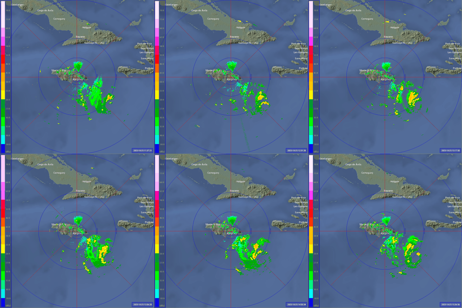
BobHarlem wrote:Jamaica radar since the eye was visible on both sides on it.
https://i.postimg.cc/fbfhkfVp/Jamaica-Radar-Melissa-7.gif


mrbagyo wrote:https://s12.gifyu.com/images/b3n2T.gif
explosive burst of convection on the NorthEast Quadrant.

Users browsing this forum: No registered users and 6 guests