 The posts in this forum are NOT official forecast and should not be used as such. They are just the opinion of the poster and may or may not be backed by sound meteorological data. They are NOT endorsed by any professional institution or

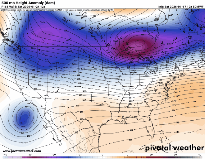
Check out how more dense the models are picking up on the cold air (which isn't a surprise as we've seen these shallow arctic airmasses come in faster than modeled). This is from 12z GFS Saturday
vs 12z GFS today (Monday)
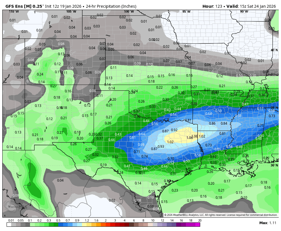
That is almost a 250 mile difference where the freezing line is come 6AM CT Friday morning from northern Kansas to TX/OK border.


 a warm nose at 5 degrees!


