Temperatures continue to hold steady or drop slowly as the wedge and the moisture have met up in a little unorthodox setup ... Usually with cold air damming events, the cold air is already locked into place well in advance of moisture overrunning ... not so this time, as the moisture arrived just after the wedge was beginning to take shape ... significant icing could occur (as much as ½" overnight ... )
As the SFC low takes shape (IMHO, offshore of the Carolina coast by about 50 miles), CAA takes over and breaks the wedge as the temperature inversion breaks...
http://www.rap.ucar.edu/weather/model/d ... typ&loop=1
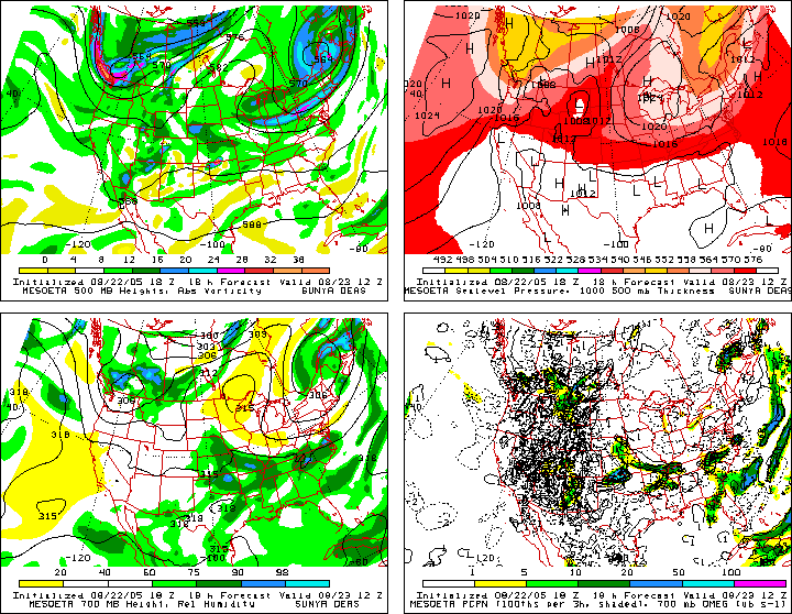
RUC at 0000z locks the wintry mix/mess in Western NC ...
Moderator: S2k Moderators
Forum rules
 The posts in this forum are NOT official forecast and should not be used as such. They are just the opinion of the poster and may or may not be backed by sound meteorological data. They are NOT endorsed by any professional institution or STORM2K.

The posts in this forum are NOT official forecast and should not be used as such. They are just the opinion of the poster and may or may not be backed by sound meteorological data. They are NOT endorsed by any professional institution or STORM2K.
-
Stormsfury

- Category 5

- Posts: 10549
- Age: 53
- Joined: Wed Feb 05, 2003 6:27 pm
- Location: Summerville, SC
-
Stormsfury
- Category 5
- Posts: 10549
- Age: 53
- Joined: Wed Feb 05, 2003 6:27 pm
- Location: Summerville, SC
Furthermore, the deeper moisture departs as a dry slot begins to punch in and the best (and very impressive UVV's) move north and east of the region ...
http://weather.cod.edu/forecast/loop.rucus700vv.html

http://weather.cod.edu/forecast/loop.rucus700vv.html
0 likes
Who is online
Users browsing this forum: No registered users and 203 guests