
Invest 94E...
Moderator: S2k Moderators
Forum rules

The posts in this forum are NOT official forecasts and should not be used as such. They are just the opinion of the poster and may or may not be backed by sound meteorological data. They are NOT endorsed by any professional institution or STORM2K. For official information, please refer to products from the National Hurricane Center and National Weather Service.
-
senorpepr

- Military Met/Moderator

- Posts: 12542
- Age: 43
- Joined: Fri Aug 22, 2003 9:22 pm
- Location: Mackenbach, Germany
- Contact:
-
cycloneye

- Admin

- Posts: 148755
- Age: 69
- Joined: Thu Oct 10, 2002 10:54 am
- Location: San Juan, Puerto Rico
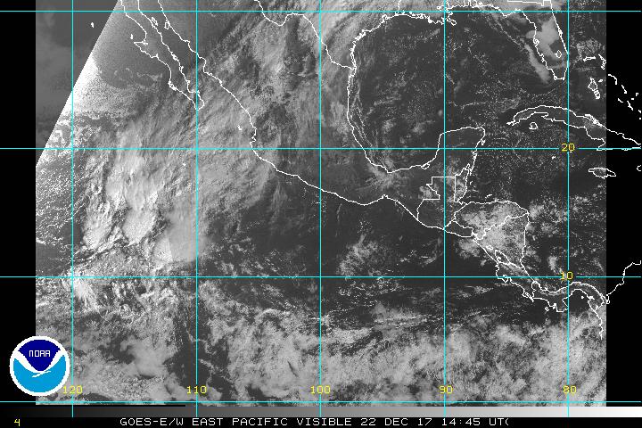
Mike this one is more close to the coast than Agatha which moved away so flooding will be a concern here.
0 likes
Visit the Caribbean-Central America Weather Thread where you can find at first post web cams,radars
and observations from Caribbean basin members Click Here
and observations from Caribbean basin members Click Here
-
wx247

- S2K Supporter

- Posts: 14279
- Age: 42
- Joined: Wed Feb 05, 2003 10:35 pm
- Location: Monett, Missouri
- Contact:
0 likes
Personal Forecast Disclaimer:
The posts in this forum are NOT official forecast and should not be used as such. They are just the opinion of the poster and may or may not be backed by sound meteorological data. They are NOT endorsed by any professional institution or storm2k.org. For official information, please refer to the NHC and NWS products.
The posts in this forum are NOT official forecast and should not be used as such. They are just the opinion of the poster and may or may not be backed by sound meteorological data. They are NOT endorsed by any professional institution or storm2k.org. For official information, please refer to the NHC and NWS products.


Who is online
Users browsing this forum: ljmac75 and 75 guests