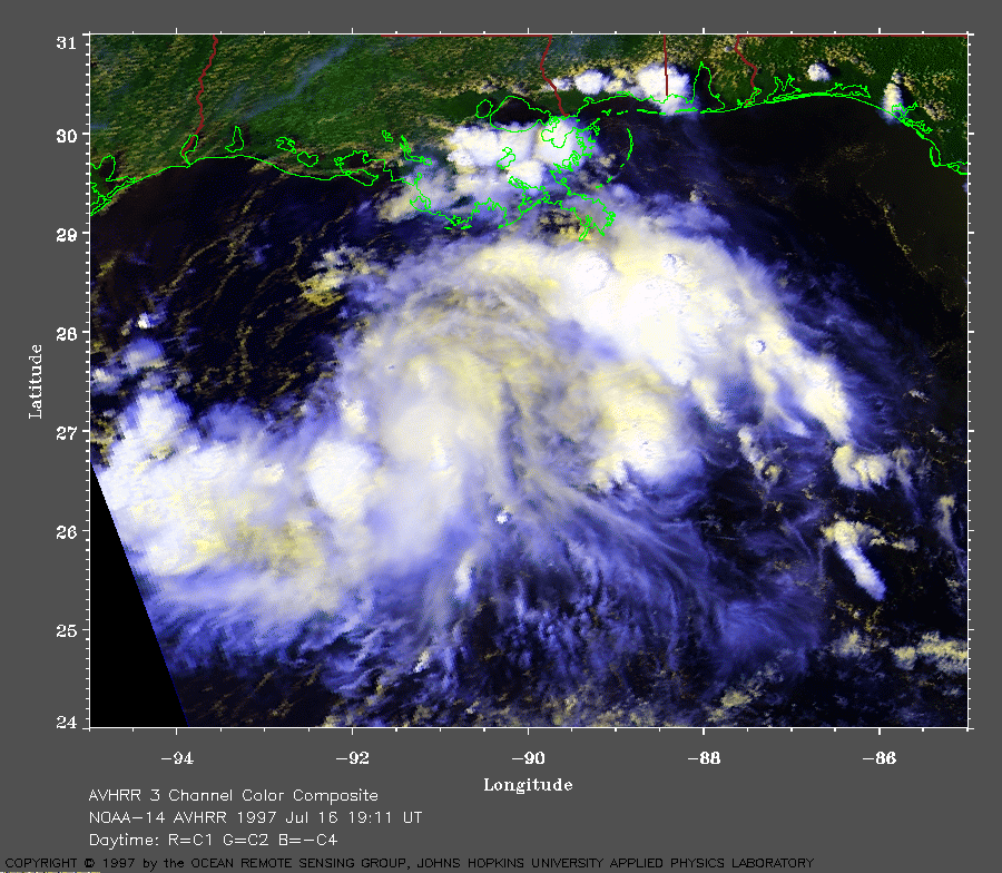
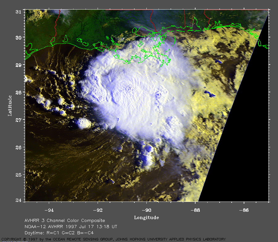
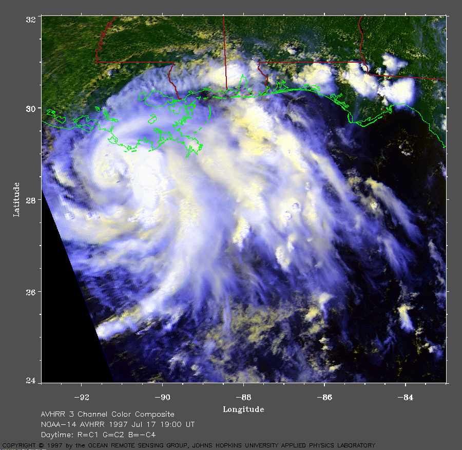
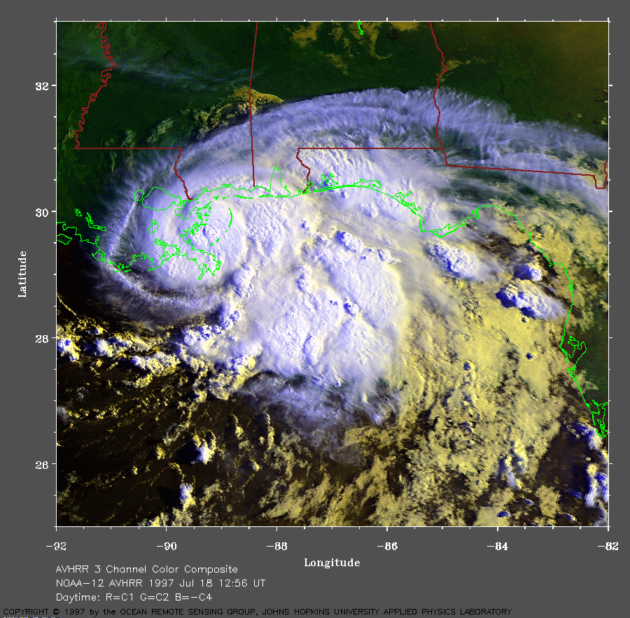
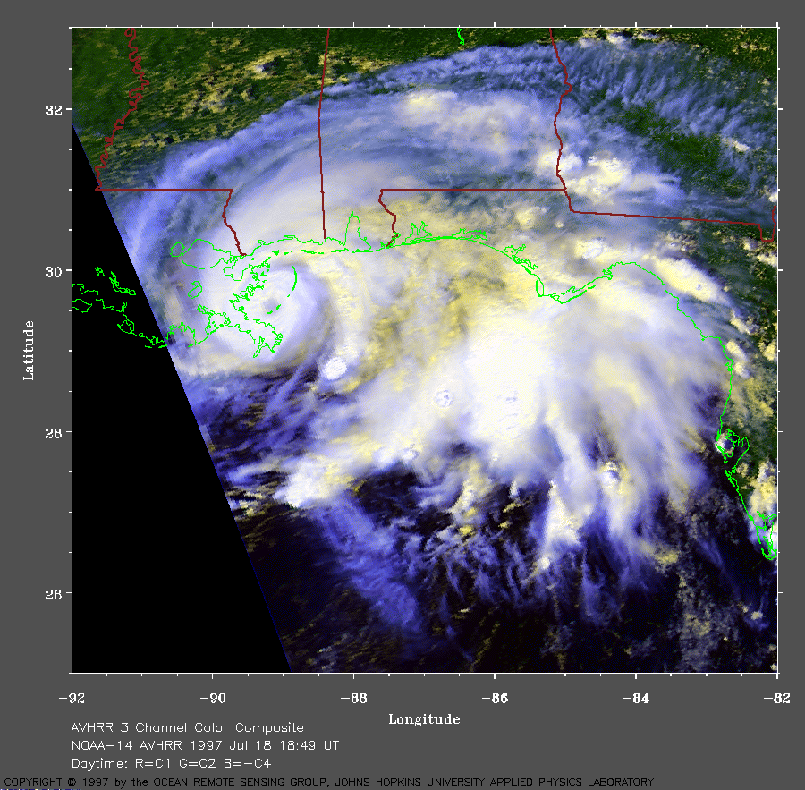
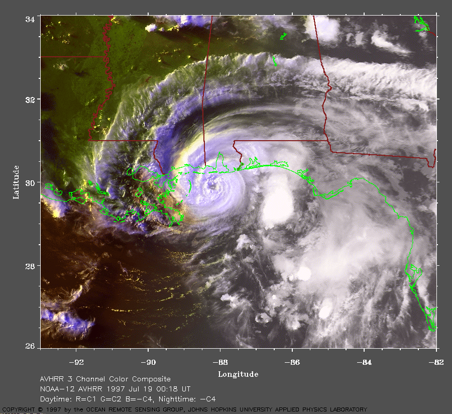
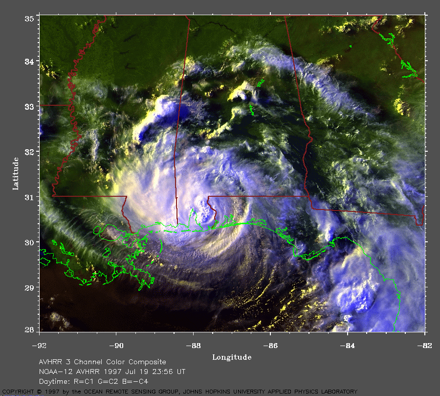
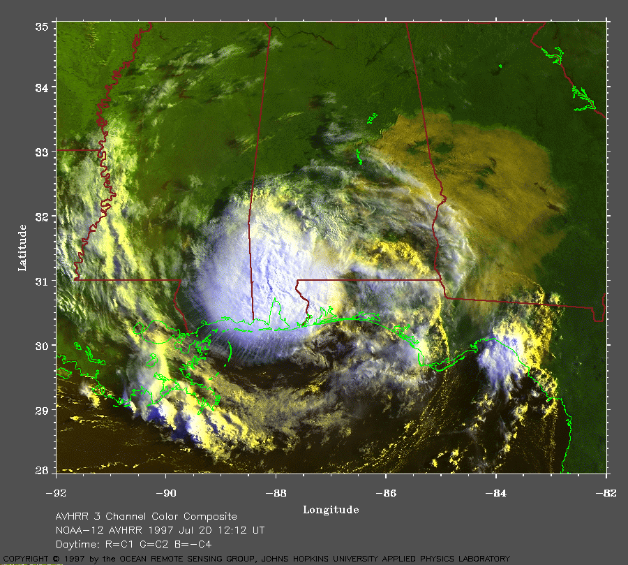
Take a look at this radar out of Texas. The whole area seems to be spinning. If memory serves me, didn't "Danny" in 1997 form from a MCS that made it into the GOM?
Neat to see- I wonder what it's like under this thing.
http://radar.weather.gov/radar/loop/DS. ... kfws.shtml
TIME SENSITIVE SO LOOK QUICKLY
Moderator: S2k Moderators
Forum rules

The posts in this forum are NOT official forecasts and should not be used as such. They are just the opinion of the poster and may or may not be backed by sound meteorological data. They are NOT endorsed by any professional institution or STORM2K. For official information, please refer to products from the National Hurricane Center and National Weather Service.
-
hurricanetrack

- HurricaneTrack.com

- Posts: 1781
- Joined: Tue Dec 02, 2003 10:46 pm
- Location: Wilmington, NC
- Contact:
TIME SENSITIVE SO LOOK QUICKLY
0 likes
-
jlauderdal
- S2K Supporter

- Posts: 7240
- Joined: Wed May 19, 2004 5:46 am
- Location: NE Fort Lauderdale
- Contact:
Re: TIME SENSITIVE SO LOOK QUICKLY
hurricanetrack wrote:Take a look at this radar out of Texas. The whole area seems to be spinning. If memory serves me, didn't "Danny" in 1997 form from a MCS that made it into the GOM?
Neat to see- I wonder what it's like under this thing.
http://radar.weather.gov/radar/loop/DS. ... kfws.shtml
wish that would park itself over my house in ne fll...had plenty of rain in miami lkaes at the office today but zero at the house for 28 straight days
0 likes


Those are what we call MCV's or Mesoscale convective Vorticies.
MCV's are directly related to MCS's (Mesoscale convective systems), where the UVM (vertical motion) within the stratiform region of the MCS provides the vortex stretching required in order to create cyclonic rotation within the MCS, (ie... the spin). at times these systems can even develop an eye-like signature, giving it the appearence of a "land Hurricane"
When looking for MCV formation -- you would want to look for an environment which is characterized by rather weak shear.
The life of an MCV depends a great deal on the relationship between the vorticies and ambient vertical shear (Davis et al. (2001), and the strength of the MCV it's self. IF the MCV has a maximum RELATIVE VORTICITY (which is the sum of the rotation of a parcel about the axis of the pressure system, and the rotation of the parcel about its own axis) that is less than the planetary vorticity, the MCV doesnt have much chance to survive aftrer the diurnal cycle/.
However, longer lived MCV's were associated w/ convection which was CONSTANTLY re-developing, which helped contribute to the re-forming of vertical vorticity.
Furthermore, UVM is favored along the downshear side of MCV's and sinking m,otions upshear. thus, convection is supressed along the upshear side of the vortex and favored downshear from it, all in relationship to the vortex flow along the isentropic surfaces, in an environemnt in which the vertical shear is thermally balenced.
Thus since UVM is favored downshear and descent upshear from the vortex -- vertical parcel displacements associated with the UVM along the downshear side of the vortex favor further convective initiation. Upshear from the vortex, where descent is favored, convection is suppressed.
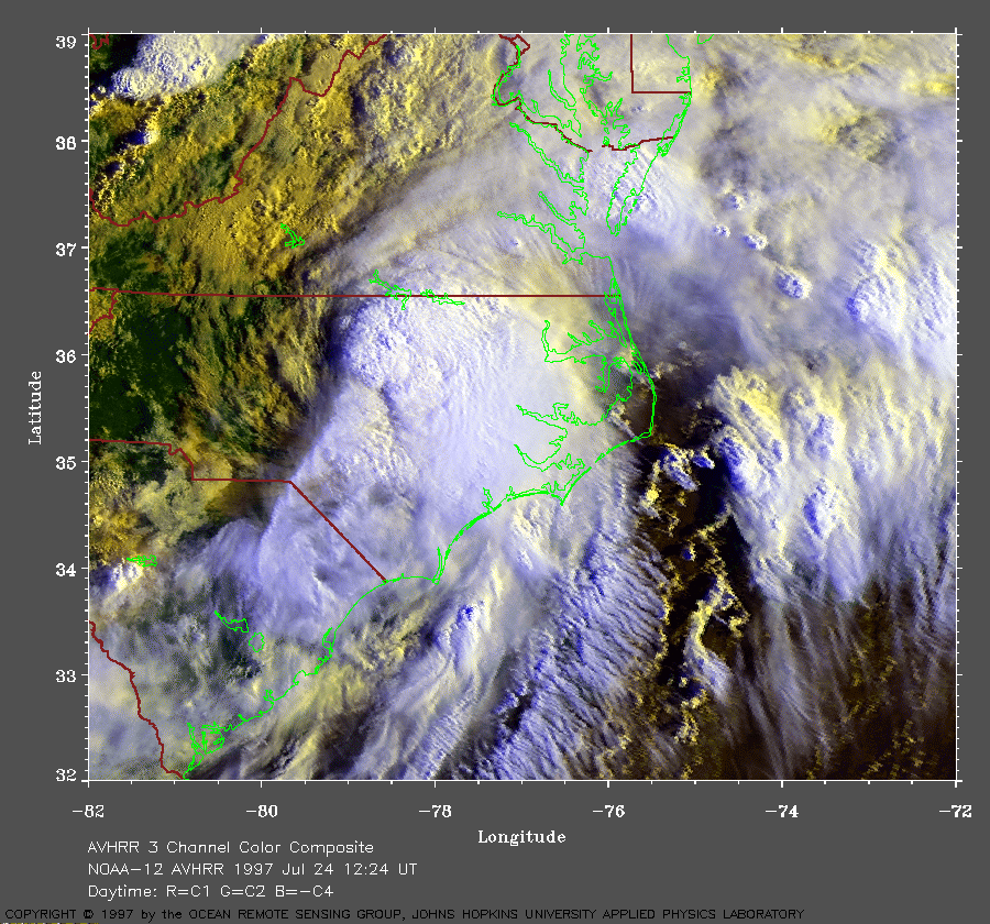
Here is a GREAT radar image of Bow segments associated w/ the JUL 21, 2003 PA/NY MCV

Convection associated w/ that MCV produced several hail and wind damage reports across the northeast that day, in addition to the F3 tornado which struck Potter county PA.
Tonights MCV is moving VERY slowly and producing HEAVY amounts of rain.

MCV's are directly related to MCS's (Mesoscale convective systems), where the UVM (vertical motion) within the stratiform region of the MCS provides the vortex stretching required in order to create cyclonic rotation within the MCS, (ie... the spin). at times these systems can even develop an eye-like signature, giving it the appearence of a "land Hurricane"
When looking for MCV formation -- you would want to look for an environment which is characterized by rather weak shear.
The life of an MCV depends a great deal on the relationship between the vorticies and ambient vertical shear (Davis et al. (2001), and the strength of the MCV it's self. IF the MCV has a maximum RELATIVE VORTICITY (which is the sum of the rotation of a parcel about the axis of the pressure system, and the rotation of the parcel about its own axis) that is less than the planetary vorticity, the MCV doesnt have much chance to survive aftrer the diurnal cycle/.
However, longer lived MCV's were associated w/ convection which was CONSTANTLY re-developing, which helped contribute to the re-forming of vertical vorticity.
Furthermore, UVM is favored along the downshear side of MCV's and sinking m,otions upshear. thus, convection is supressed along the upshear side of the vortex and favored downshear from it, all in relationship to the vortex flow along the isentropic surfaces, in an environemnt in which the vertical shear is thermally balenced.
Thus since UVM is favored downshear and descent upshear from the vortex -- vertical parcel displacements associated with the UVM along the downshear side of the vortex favor further convective initiation. Upshear from the vortex, where descent is favored, convection is suppressed.
Here is a GREAT radar image of Bow segments associated w/ the JUL 21, 2003 PA/NY MCV
Convection associated w/ that MCV produced several hail and wind damage reports across the northeast that day, in addition to the F3 tornado which struck Potter county PA.
Tonights MCV is moving VERY slowly and producing HEAVY amounts of rain.
0 likes
-
Aquawind

- Category 5
- Posts: 6714
- Age: 62
- Joined: Mon Jun 16, 2003 10:41 pm
- Location: Salisbury, NC
- Contact:
Re: TIME SENSITIVE SO LOOK QUICKLY
hurricanetrack wrote:Take a look at this radar out of Texas. The whole area seems to be spinning. If memory serves me, didn't "Danny" in 1997 form from a MCS that made it into the GOM?
Neat to see- I wonder what it's like under this thing.
http://radar.weather.gov/radar/loop/DS. ... kfws.shtml
So many swirls so little time.. if it was heading for the Gulf all eyes would be focused..but thats not the case this time..
It's real wet under the thing..
0 likes

Who is online
Users browsing this forum: No registered users and 89 guests