
239
ABNT20 KNHC 122121
TWOAT
TROPICAL WEATHER OUTLOOK
NWS/TPC NATIONAL HURRICANE CENTER MIAMI FL
530 PM EDT SAT JUN 12 2004
FOR THE NORTH ATLANTIC...CARIBBEAN SEA AND THE GULF OF MEXICO...
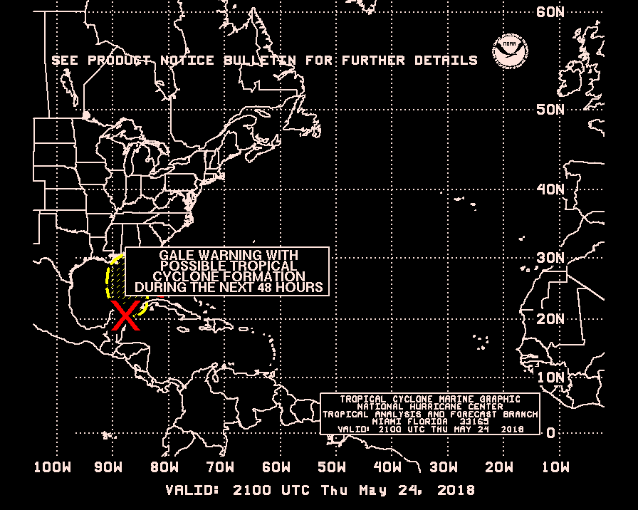
A LARGE AREA OF DISTURBED WEATHER CONTINUES OVER THE SOUTHEASTERN
GULF OF MEXICO AND NORTHWESTERN CARIBBEAN SEA. A WEAK AND BROAD
LOW LEVEL CIRCULATION HAS FORMED TODAY OVER THE WEST-CENTRAL GULF
AND ADDITIONAL SLOW DEVELOPMENT IS POSSIBLE OVER THE NEXT DAY OR
TWO AS THE SYSTEM MOVES SLOWLY NORTHWARD. IF NECESSARY...AN AIR
FORCE PLANE WILL INVESTIGATE THE AREA ON SUNDAY.
ELSEWHERE TROPICAL STORM FORMATION IS NOT EXPECTED THROUGH SUNDAY.
FORECASTER LAWRENCE
Weak Broad Low Level Circulation Forms in Gulf
Moderator: S2k Moderators
Forum rules

The posts in this forum are NOT official forecasts and should not be used as such. They are just the opinion of the poster and may or may not be backed by sound meteorological data. They are NOT endorsed by any professional institution or STORM2K. For official information, please refer to products from the National Hurricane Center and National Weather Service.


-
lilbump3000

- Category 4

- Posts: 966
- Age: 38
- Joined: Sat Sep 20, 2003 10:09 am
- Location: New Orleans, Louisiana
- Contact:


-
Josephine96
-
wxman57

- Moderator-Pro Met

- Posts: 23131
- Age: 68
- Joined: Sat Jun 21, 2003 8:06 pm
- Location: Houston, TX (southwest)
I agree, Brent, at most a sheared TD or MAYBE a weak TS. Landfall will be on Monday, so it won't have much time to develop. And wind shear will be a factor as well.
The GFS is out to lunch on this one. There's an LLC beginning to form near 23.2N/92.7W. 700mb flow is steering th system NW not NE. I think that this will more likely than not become TD1 tomorrow afternoon when the recon finishes its investigation. Landfall along the mid to upper TX coast on Monday is likely, but all heavy squalls will be displaced well to the east of the center to as far east as MS/AL. Here's the latest image. The apparent weak LLC is west of the convection:
<img src="http://myweb.cableone.net/nolasue/one.gif">
0 likes
-
PTrackerLA

- Category 5

- Posts: 5281
- Age: 42
- Joined: Thu Oct 10, 2002 8:40 pm
- Location: Lafayette, LA
-
hurricanemike

- Professional-Met

- Posts: 197
- Joined: Wed Feb 25, 2004 11:33 pm
- Location: Jacksonville,FL Beaches/Duval County
- Contact:
-
Guest
Anyone paying attention at all to whats approaching from the west into western/central TX? Look at any Sats and you will see what i am talking about!
Sorry but if anything that will tend to push this further east before it has any chance to reach the TX coast IMO. LA coast imo is where this will end up as a TS At best. Either way it still has a bit to over come and as most everyone agrees on the rains/active weather from this will be found mainly on the east side of this system probably from LA east to the FL Panhandle.
Sorry but if anything that will tend to push this further east before it has any chance to reach the TX coast IMO. LA coast imo is where this will end up as a TS At best. Either way it still has a bit to over come and as most everyone agrees on the rains/active weather from this will be found mainly on the east side of this system probably from LA east to the FL Panhandle.
0 likes
-
wxman57
- Moderator-Pro Met
- Posts: 23131
- Age: 68
- Joined: Sat Jun 21, 2003 8:06 pm
- Location: Houston, TX (southwest)
KingOfWeather wrote:Anyone paying attention at all to whats approaching from the west into western/central TX? Look at any Sats and you will see what i am talking about!
Sorry but if anything that will tend to push this further east before it has any chance to reach the TX coast IMO. LA coast imo is where this will end up as a TS At best. Either way it still has a bit to over come and as most everyone agrees on the rains/active weather from this will be found mainly on the east side of this system probably from LA east to the FL Panhandle.
But below 500mb flow is, and will be, from the southeast. That would take at least the LLC NW toward Texas. Latest satellite indicates a near due west movement of the lower level swirl. It's near 23.4N/93.4W as of 6pm. However, I agree that the convection will be sheared off to the east and move inland into the upper TX coast to MS/AL.
0 likes
Who is online
Users browsing this forum: Google [Bot], JoshwaDone, Ulf and 33 guests