Tingting Advisories
Moderator: S2k Moderators
-
SupertyphoonTip

- Tropical Depression

- Posts: 77
- Joined: Sat May 29, 2004 12:50 am
- Location: Cape Cod, Massachusetts

As amazing as it sounds out of all the islands, I think Guam will feel the worse of this system. With 20 inches of rain and counting, we could easily be talking close to if not over 3 feet of rain before we're all said and done with this system in the island of Guam. Southern Guam appears to be the hardest hit location.
Jim
Jim
0 likes


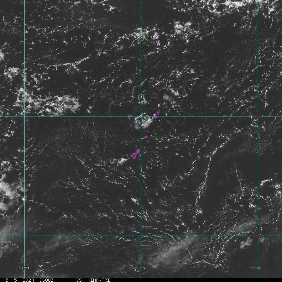
First Visable Sat Pic Of Tingting
Here is the fist visable sat. of Tingting moving just north of Guam. Appears to be getting better organized.
http://www.goes.noaa.gov/guam/GUAMD.JPG
Robert
http://www.goes.noaa.gov/guam/GUAMD.JPG
Robert
0 likes
flooding and wind in Mariana Islands, two typhoons!!!
We've got two typhoons tonight across the western Pacific. The first typhoon, Tingting is located about 75 miles north of Saipan. The coordinates are estimated near latitude 16.2 north, longitude 146.4 east. Movement continues towards the northwest at near 9 mph. Maximum sustained winds with Tingting right now are up to 75 mph with higher gusts. Further strengthening is anticipated over the next couple of days and Tingting could reach 130 mph as it approaches Iwo Jima over the next 3-4 days.
A look at the latest conditions from the Mariana Islands continues to show nasty conditions at all the sites. In Guam, light rain is falling. Temperature is 79 degrees. Winds are west at 23 mph gusting to 36 mph.
At Rota Intl, light showers and windy conditions continue. Temperature 77 degrees. Southwest winds 35 mph gusting to 47 mph. In West Tinian, heavy rain and windy conditions continue. Temperature 77 degrees. West winds 35 mph gusting to 46. The worse location though is at Saipan Intl Airport where windy conditions continues. Temperature 79 degrees. Southwest wind 49 mph gusting to 61 mph.
If the wind wasn't bad enough, we got flash flood warnings in effect not only in Guam, but now in Rota, Tinian, and Saipan. The flash flood warning is in effect for Rota, Saipan, and Tinian until 3 PM LST. Persistent rain band of 1-2 inches per hour are likely. Rainfall totals of 10-12 inches is expected over the next 12-24 hours or so.
Further south, Guam is the hardest hit area when it comes to rainfall as some places have seen over 20 inches of rainfall including at Guam International Airport at 20.86 inches so far and counting. The preliminary figures are below
HERE ARE PRELIMINARY RAINFALL TOTALS FROM MIDNIGHT TO 200 PM...
GUAM INTL AIRPORT/TIYAN......... 4.86 INCHES (16.00 YESTERDAY)
APRA HARBOR (AUTOMATED GAUGE)... 3.46 INCHES ( 8.34 YESTERDAY)
INARAJAN (AUTOMATED GAUGE)...... 7.65 INCHES (15.47 YESTERDAY)
MANGILAO (AUTOMATED GAUGE)...... 3.23 INCHES (12.68 YESTERDAY)
MERIZO (AUTOMATED GAUGE)........ 4.72 INCHES (10.43 YESTERDAY)
ROTA INTL AIRPORT/SINAPALU...... 2.06 INCHES ( 5.56 YESTERDAY)
SAIPAN INTERNATIONAL AIRPORT.... 3.40 INCHES ( 1.71 YESTERDAY)
If Tingting wasn't enough, we have a typhoon Mindulle in the western Pacific with increasing sustained winds up to 110 mph with higher gusts. Typhoon Mindulle is tracking toward the northwest at near 8 mph and is currently positioned near latitude 18.1 north, longitude 125.8 east. Further strengthening is anticipated with this storm system and it could peak at 140 mph before making landfall potentially over Taiwan.
Jim
0 likes
-
FWBHurricane

- Category 1

- Posts: 495
- Joined: Fri Apr 02, 2004 10:57 pm
- Location: Midlothian/Ovilla, Texas
- Contact:
Conditions in Saipan, Guam as of 6:00 AM Central time:
Heavy rain and windy, Winds at the SW at 46mph, gusts to 61mph
Barometer: 29.32''
Forcast:
Typhoon warning in effect.
. Flood watch in effect until 3 am Tuesday.
This afternoon. Typhoon conditions possible. Damaging west winds 50 to 60 mph with gusts to 70 mph. Torrential rain and scattered thunderstorms. Highs around 81.
Tonight. Tropical storm conditions. Damaging southwest winds 45 to 55 mph with gusts to 65 mph. Torrential rain and scattered thunderstorms. Lows around 77.
0 likes
Who is online
Users browsing this forum: No registered users and 9 guests