Hello yall, first post of the season. Have enjoyed reading all of the posts. The system over the Yucatan is starting to heat up.
It has grown in size today and seems to be wrapping up. The ULL out in front will move SW and help swing this system up into the GOM. If a LLC does form it would most likely be in the lower BOC. Looks like more rain for S Texas, of course this is just my humble opinion.
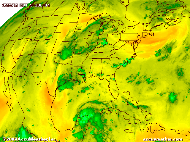
Yucatan looking good
Moderator: S2k Moderators
Forum rules

The posts in this forum are NOT official forecasts and should not be used as such. They are just the opinion of the poster and may or may not be backed by sound meteorological data. They are NOT endorsed by any professional institution or STORM2K. For official information, please refer to products from the National Hurricane Center and National Weather Service.
-
corpusbreeze
- Category 1

- Posts: 386
- Joined: Fri Jan 02, 2004 3:57 pm
Yucatan looking good
0 likes


-
lilbump3000

- Category 4

- Posts: 966
- Age: 38
- Joined: Sat Sep 20, 2003 10:09 am
- Location: New Orleans, Louisiana
- Contact:
-
chadtm80
-
The Dark Knight

- Category 3

- Posts: 800
- Joined: Fri Jun 18, 2004 11:18 am
- Location: Mashpee, Cape Cod, MA
- Contact:

lilbump3000 wrote:Only mother nature will know what this system is going to do.
Although to me it looks like a typical atlantic system trying to form once it gets in the gulf.
It has nice ventilation in the clouds with it as well.
There can be a fine line between "ventilation" and "shear," but in this case, it's very much towards the shear end of things...but it's divergent shear that encourages convection, but very much prevents tropical development.
Don't really see any indication it will ever have an upper high either over it directly or north of it.
0 likes

-
chadtm80
-
wxman57

- Moderator-Pro Met

- Posts: 23131
- Age: 68
- Joined: Sat Jun 21, 2003 8:06 pm
- Location: Houston, TX (southwest)
It's quite common for waves moving into the Yucatan to really flare up over land during peak afternoon heating. The key will be what happens when it's back over the water of the southern BOC. Will there be enough lifting to sustain the convection over water without the benefit of daytime heating?
0 likes


-
corpusbreeze
- Category 1
- Posts: 386
- Joined: Fri Jan 02, 2004 3:57 pm
-
dixiebreeze

- S2K Supporter

- Posts: 5140
- Joined: Wed Sep 03, 2003 5:07 pm
- Location: crystal river, fla.
-
BayouVenteux

- S2K Supporter
- Posts: 775
- Age: 64
- Joined: Thu Sep 04, 2003 3:26 pm
- Location: Ascension Parish, Louisiana (30.3 N 91.0 W)
corpusbreeze wrote:The Hurricane Center seems more impressed tonight
on the Yucatan system in the 8pm discussion.
If not from a developmental standpoint, at least from a convective one. With a mid-to-upper level low moving into the vicinity, chances of anything going hogwild on us this weekend are IMHO, unlikely.
I am kind of suprised by the line in the discussion that reads "THIS REGIME WILL LIKELY ALLOW MOISTURE AND SHOWERS/THUNDERSTORMS ASSOCIATED WITH
THE WAVE TO SURGE RAPIDLY NWD OVER THE CENTRAL GLFMEX POSSIBLY REACHING THE N GULF COAST BY LATE SAT NIGHT. "
Absolutely no reference to this in the local discussions, though the Lake Charles office makes reference to SE Texas getting a swath of moisture coming up from this system. I guess that must be what the TPC is referring to. Or else I'm just too much of a stickler when it comes to geography!
0 likes
Andrew '92, Katrina '05, Gustav '08, Isaac '12, Ida '21...and countless other lesser landfalling storms whose names have been eclipsed by "The Big Ones".
-
kevin
-
kevin
-
corpusbreeze
- Category 1
- Posts: 386
- Joined: Fri Jan 02, 2004 3:57 pm

Who is online
Users browsing this forum: cycloneye and 42 guests