

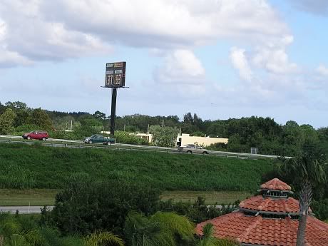
I evacuated from the beach to a Cocoa hotel. I'm in a 3rd floor room with an unobstructed view due south.
To my east is I-95:
http://img.photobucket.com/albums/v443/ ... _Thurs.jpg
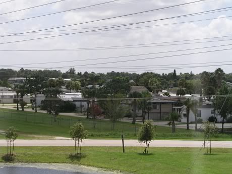
This mobile home park is directly to the west (also the powerlines):
http://img.photobucket.com/albums/v443/ ... homes2.jpg
Current conditions here: hardly could tell when dawn finally arrived, zero sun, heavy clouds continue from last night but now finally starting to see the swirl, wind from the N appears to be around 15-20 mph.
WFTV Channel 9 just showed a model with some possibility: storm starts regaining strength over the GS prior to landfall near Vero. Eye then moves about halfway on to land and then shoots north skirting the coast. In fact, the met said: "Travels north up I-95." It's going to be an interesting day and night.
Some Pre-Storm Photos From Central Brevard
Moderator: S2k Moderators
Forum rules

The posts in this forum are NOT official forecasts and should not be used as such. They are just the opinion of the poster and may or may not be backed by sound meteorological data. They are NOT endorsed by any professional institution or STORM2K. For official information, please refer to products from the National Hurricane Center and National Weather Service.
Who is online
Users browsing this forum: kevin and 106 guests