
90L.INVEST in the South Atlantic
Moderator: S2k Moderators
Forum rules

The posts in this forum are NOT official forecasts and should not be used as such. They are just the opinion of the poster and may or may not be backed by sound meteorological data. They are NOT endorsed by any professional institution or STORM2K. For official information, please refer to products from the National Hurricane Center and National Weather Service.


-
Matt-hurricanewatcher
-
Hurricanehink

- S2K Supporter

- Posts: 2047
- Joined: Sun Nov 16, 2003 2:05 pm
- Location: New Jersey
-
P.K.

- Professional-Met

- Posts: 5149
- Joined: Thu Sep 23, 2004 5:57 pm
- Location: Watford, England
- Contact:
http://www.sat.dundee.ac.uk/pdus/EI/200412312100EI1_g.jpg - Just change the time in the address. It updates every three hours.
http://www.sat.dundee.ac.uk/pdus/EV/200412311800EV1_g.jpg - Same as with the IR images.
I'm not sure if you have to be registered to view these images. (You do for the UK images)
http://www.sat.dundee.ac.uk/pdus/EV/200412311800EV1_g.jpg - Same as with the IR images.
I'm not sure if you have to be registered to view these images. (You do for the UK images)
0 likes
-
senorpepr

- Military Met/Moderator

- Posts: 12542
- Age: 43
- Joined: Fri Aug 22, 2003 9:22 pm
- Location: Mackenbach, Germany
- Contact:
Re: 90L.INVEST in the South Atlantic
P.K. wrote:Should really be 90T.Invest though shouldn't it?
Well, the USN uses the L-suffix for all Atlantic system, regardless of hemisphere. The UKMO, on the other hand, uses the T-suffix for South Atlantic systems.
The best guidance I have refers to using the T-suffix in this case.
0 likes
-
P.K.
- Professional-Met
- Posts: 5149
- Joined: Thu Sep 23, 2004 5:57 pm
- Location: Watford, England
- Contact:
Ok, thanks. 
I'll go with what the Met Office say as I don't want Daniel Corbett chasing me. (I'm not expecting many of you to understand what I'm talking about here )
I'll go with what the Met Office say as I don't want Daniel Corbett chasing me.
Last edited by P.K. on Fri Dec 31, 2004 7:26 pm, edited 1 time in total.
0 likes
-
senorpepr
- Military Met/Moderator
- Posts: 12542
- Age: 43
- Joined: Fri Aug 22, 2003 9:22 pm
- Location: Mackenbach, Germany
- Contact:
P.K. wrote:Good to see we are always ahead of everyone else..
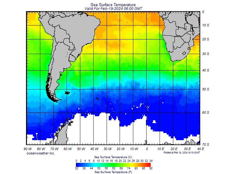
Is there any reason why tropical cyclones could form in this area at lower temperatures than in the main basins? I've been trying to think of reasons why this could be the case.
I'm without a clue. I do, however, notice that NRL has removed the system from their pages. Only 06S and 07S are listed.
0 likes
-
P.K.
- Professional-Met
- Posts: 5149
- Joined: Thu Sep 23, 2004 5:57 pm
- Location: Watford, England
- Contact:
I wrote down a few ideas and came up with these. (Remember they are only ideas )
Maybe temperatures can be lower if they are warm enough to a deeper depth?
Another thing I can think of it maybe there is some sort of change going on with the thermohaline conveyor belt in that area leading to warmer seas?
Some sort of El Nino effect induced by man?
Maybe something to do my third year project on next year.......
0 likes
-
Matt-hurricanewatcher
-
senorpepr
- Military Met/Moderator
- Posts: 12542
- Age: 43
- Joined: Fri Aug 22, 2003 9:22 pm
- Location: Mackenbach, Germany
- Contact:
The "word on the street" is that NRL is having a little problem listing storms because it's looking for data for 2004, but since UTC is now in 2005...
I'm sure once the computer guys at Monterey wake up from their vacation it'll get fixed. Meanwhile, FNMOC ( http://tcweb.fnmoc.navy.mil/tc-bin/tc_home.cgi ) has the hook-up.
I'm sure once the computer guys at Monterey wake up from their vacation it'll get fixed. Meanwhile, FNMOC ( http://tcweb.fnmoc.navy.mil/tc-bin/tc_home.cgi ) has the hook-up.
0 likes
-
Matt-hurricanewatcher
http://www.sat.dundee.ac.uk/pdus/AI/200 ... 0AI1_g.jpg
Earlier the system had deep convection in a clearly defined LLC on quickscats. This was a depression. Very weird things are going on.
Earlier the system had deep convection in a clearly defined LLC on quickscats. This was a depression. Very weird things are going on.
0 likes

Who is online
Users browsing this forum: cycloneye and 54 guests