Watching for Subtropical Development
Moderator: S2k Moderators
Forum rules
The posts in this forum are NOT official forecasts and should not be used as such. They are just the opinion of the poster and may or may not be backed by sound meteorological data. They are NOT endorsed by any professional institution or STORM2K. For official information, please refer to products from the National Hurricane Center and National Weather Service.
-
OuterBanker
- S2K Supporter

- Posts: 1761
- Joined: Wed Feb 26, 2003 10:53 am
- Location: Nags Head, NC
- Contact:
Weekend NorEaster
Could be interesting and as usual ukmet and canadian are the western most and most aggresive (I think the Brits have it in for us  ). Avn doesn't develop at all and nogaps is east of Bermuda. I don't think it will be a rain event at all but could cause beach erosion from Cape Hat to NJ coast considering the fetch between the low and the cold high in ne this weekend. The monkey wrench could be if the ull splits its energy and sends part of it to the developing low off PR, moon tide too.
0 likes
- cycloneye
- Admin

- Posts: 149576
- Age: 69
- Joined: Thu Oct 10, 2002 10:54 am
- Location: San Juan, Puerto Rico
Wow that is a good looking gale center but that same system formed the trough and the tail end brougt all the flooding rains to Puerto Rico.
0 likes
Visit the Caribbean-Central America Weather Thread where you can find at first post web cams,radars
and observations from Caribbean basin members Click Here
and observations from Caribbean basin members Click Here
-
Anonymous
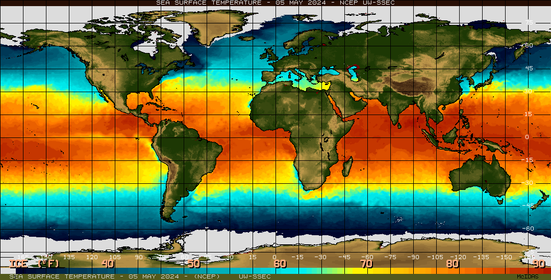
Now it's very clear this will not develop into anything subtropical, as it's already in frigid water. Enjoy looking at it on satellite imagery while you can; it's destined to merge with a trough in a day or so. In any event, a very interesting feature for the month of April to say the least.
0 likes
-
chadtm80
-
Guest
- cycloneye
- Admin

- Posts: 149576
- Age: 69
- Joined: Thu Oct 10, 2002 10:54 am
- Location: San Juan, Puerto Rico
If it were august this low center would develop into a ST,TD,TS or even a cane because at that month warm waters are in that area.But agree that it is a good looking low center for this month and this is like a preview of the real season soon arriving.
0 likes
Visit the Caribbean-Central America Weather Thread where you can find at first post web cams,radars
and observations from Caribbean basin members Click Here
and observations from Caribbean basin members Click Here
- Stormsfury
- Category 5

- Posts: 10549
- Age: 53
- Joined: Wed Feb 05, 2003 6:27 pm
- Location: Summerville, SC
- Stormsfury
- Category 5

- Posts: 10549
- Age: 53
- Joined: Wed Feb 05, 2003 6:27 pm
- Location: Summerville, SC
TropicalWxWatcher wrote::wink:


*LOL* - Right after my afternoon post, I watched this closely and had a debate with another person on another board, and became more and more convinced that this would become an ST if it could gain a warm-core low (or subtropical characteristics).
Part of the reason I posted the SST map earlier as well.
0 likes
Who is online
Users browsing this forum: pepecool20, Ulf, WaveBreaking and 136 guests


